- Population
- 2,811,410
- 2.8M
- Elevation
- 529 m
- above sea level
- Local time
- UTC+09:00
- Asia/Tokyo · UTC+09:00
- Places inside
- 26
- listed under Hiroshima
- Airports
- HIJ Hiroshima Airport23 km
- IWK Iwakuni Kintaikyo Airport71 km
About Hiroshima
Hiroshima is a region. Location: Japan. Population: 2,811,410.
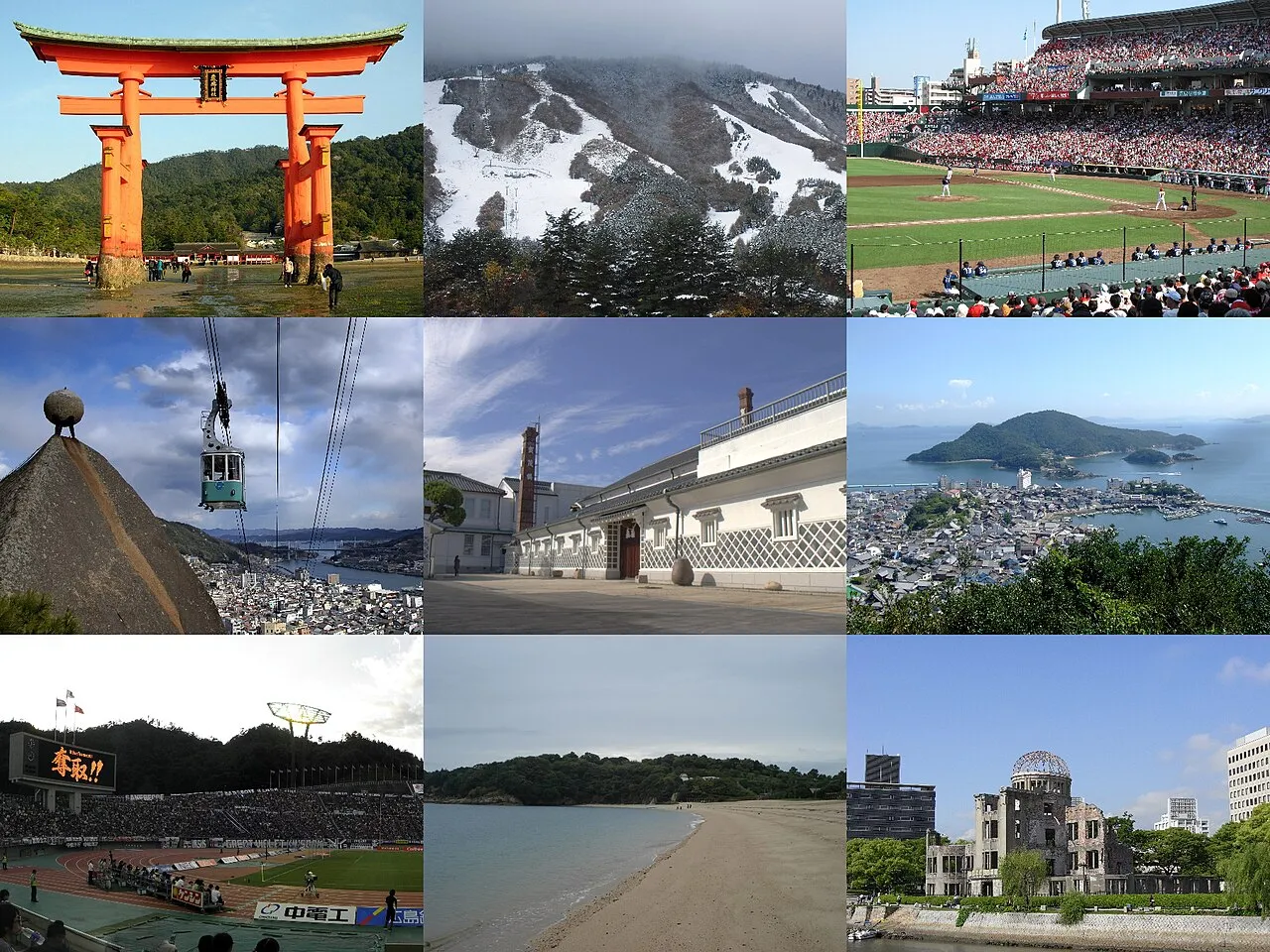
Hiroshima Prefecture (広島県, Hiroshima-ken; Japanese pronunciation: [çì.ɾó̞.ɕí.mä́(.kè̞ɴ̀)]) is a prefecture of Japan located in the Chūgoku region of Honshu. Hiroshima Prefecture has a population of 2,811,410 (1 June 2019) and has a geographic area of 8,479 km2 (3,274 sq mi). Hiroshima Prefecture borders Okayama Prefecture to the east, Tottori Prefecture to the northeast, Shimane Prefecture to the north, and Yamaguchi Prefecture to the southwest.
Read more on Wikipedia Text: Wikipedia contributors · CC BY-SA 4.0 · shortened
Places bordering Hiroshima
Twin towns and sister cities of Hiroshima
- Hawaii· United States
- Guanajuato· Mexico
Source: Wikidata. Only places with a page on this site are shown.
Climate of Hiroshima
Best months for sightseeingBest months for sightseeing: May–June, September–October.
Bars: average monthly low and high temperature. Below: precipitation. Monthly averages for 1970–2000 at about 18 km resolution, adjusted for elevation. Highlighted months are mild and relatively dry. Source: WorldClim 2.1 (CC BY 4.0).
Show values as a table
| Month | Jan | Feb | Mar | Apr | May | Jun | Jul | Aug | Sep | Oct | Nov | Dec |
|---|---|---|---|---|---|---|---|---|---|---|---|---|
| Average high (°C) | 6° | 6° | 10° | 16° | 20° | 23° | 27° | 29° | 24° | 19° | 14° | 8° |
| Average low (°C) | -1° | -1° | 2° | 7° | 12° | 16° | 21° | 22° | 17° | 11° | 5° | 1° |
| Precipitation (mm) | 73 | 82 | 114 | 154 | 159 | 275 | 268 | 169 | 217 | 122 | 80 | 60 |
Other places to visit in this season: May June September October
Airports nearest to Hiroshima
- Hiroshima Airport (HIJ) Hiroshima 23 km
- Iwakuni Kintaikyo Airport (IWK) Iwakuni 71 km
- Matsuyama Airport (MYJ) Matsuyama 87 km
Straight-line distance; airports with scheduled flights only. Source: OurAirports (public domain).
Places in Hiroshima
26 places- 1 Fukuyama Shi 472.8K
- 2 Kure 238K
- 3 Higashihiroshima Shi 183.8K
- 4 Onomichi 144.9K
- 5 Hatsukaichi-shi 117.6K
- 6 Mihara Shi 99.5K
- 7 Miyoshi Shi 56.1K
- 8 Fuchū-shi 42.3K
- 9 Shobara 38.9K
- 10 Aki-takata Shi 31K
- 11 Ōtake 28.4K
- 12 Takehara-shi 28.2K
- 13 Etajima-shi 26K
- 14 Ikuchi Jima 11K
- 15 Itsuku Shima 535
Bar: population relative to the most populous place in this list.
-
Aki-gun District
-
Ashida River River
-
Hiroshima City District
-
Jinseki District
-
Kurahashi Jima Island
-
Mount Kanmuri Mountain
-
Nino Shima Island
-
Ōkuno Shima Island
-
Sera District
-
Toyota District
-
Yamagata District
Largest cities and towns
-
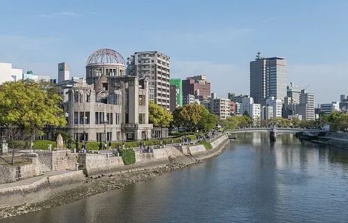 Hiroshima City, Hiroshima City1.2M
-
Naka-ku Municipality, Hiroshima City142.3K
-
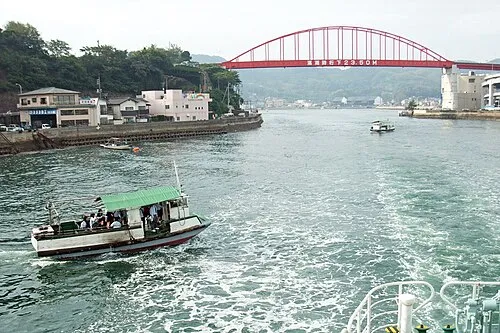 Kure City, Kure214.6K
-
Minami-ku Municipality, Hiroshima City144K
-
Nishi-ku Municipality, Hiroshima City190.9K
-
Fuchū Municipality, Aki-gun51.6K
-
Higashi-ku Municipality, Hiroshima City120.8K
-
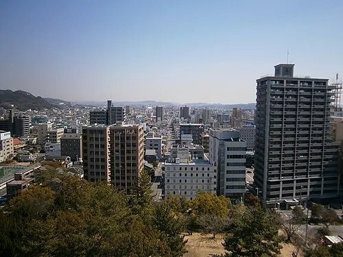 Fukuyama City, Fukuyama Shi468.8K
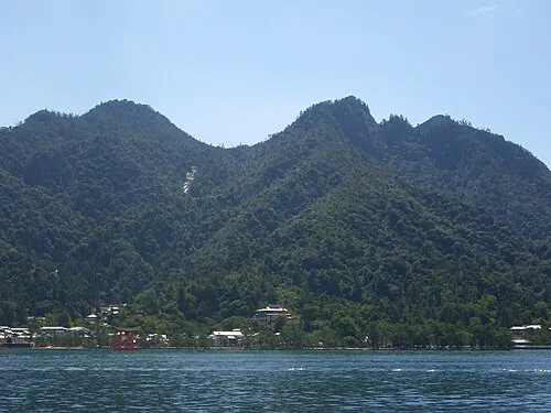
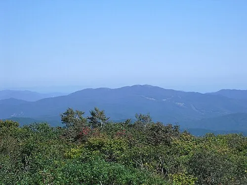
Nature and heritage in Hiroshima

Other regions in Japan
-
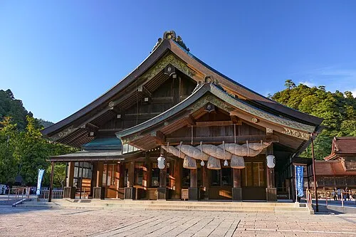 Shimane Region, Japan56 km N
-
Imabari District, Ehime63 km S
-
Gōtsu Shi District, Shimane61 km NW
-
Asakuchi Shi District, Okayama75 km E
-
Unnan Shi District, Shimane72 km N
Sources & licences
Data last updated: · 2 independent sources