Mont Misen
Local name: 弥山
Located in Hatsukaichi-shi, Hiroshima Coordinates: 34°16′47″ N 132°19′12″ E
- Elevation
- 535 m
- above sea level
- Local time
- UTC+09:00
- Asia/Tokyo · UTC+09:00
- Airports
- IWK Iwakuni Kintaikyo Airport16 km
- HIJ Hiroshima Airport58 km
About Mont Misen
Mont Misen is a mountain. Location: Hatsukaichi-shi, Hiroshima. Elevation: 535 m.
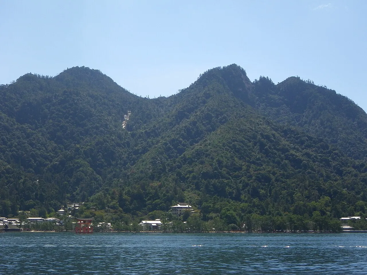
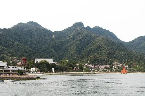
Mount Misen (弥山, Misen) is the sacred mountain on Itsukushima in Hatsukaichi, Hiroshima, Japan, and is the highest mountain on the island at 535 m; it is situated within the World Heritage area of Itsukushima Shrine. The sea around the island (Seto Inland Sea) and all of the island are within Setonaikai National Park. The north side of the mountain is covered by primeval forest which is protected by Hiroshima prefecture. The foot of the mountain has Momijidani-Kōen (紅葉谷公園, Maple Valley Park).
Source: Wikipedia · CC BY-SA 4.0
At a glance
- Heritage designation
- natural monument
- Topographic prominence
- 535 m
Source: Wikidata
Photos of Mont Misen
-

dconvertini · CC BY-SA 2.0 -
Itsuku Shima Bernard Gagnon · CC BY-SA 3.0 -

dconvertini · CC BY-SA 2.0


Climate of Mont Misen
Best months for sightseeingBest months for sightseeing: May–July, September–October.
This month · November
Outside the best season
Day 14° · Night 5° · Rain 85 mm
Better nearby cities in November
- Ōita · 134 km southwest18°
- Beppu · 135 km southwest17°
- Kochi · 138 km southeast18°
- Hottest month
- August (day 27°)
- Coldest month
- January (night -2°)
- Wettest month
- June (301 mm)
- Driest month
- December (50 mm)
Bars: average monthly low and high temperature. Below: precipitation. Monthly averages for 1970–2000 at about 18 km resolution, adjusted for elevation. Highlighted months are mild and relatively dry. Source: WorldClim 2.1 (CC BY 4.0).
Show values as a table
| Month | Jan | Feb | Mar | Apr | May | Jun | Jul | Aug | Sep | Oct | Nov | Dec |
|---|---|---|---|---|---|---|---|---|---|---|---|---|
| Average high (°C) | 6° | 6° | 9° | 15° | 19° | 22° | 26° | 27° | 24° | 19° | 14° | 8° |
| Average low (°C) | -2° | -2° | 1° | 6° | 11° | 15° | 20° | 21° | 17° | 11° | 5° | 1° |
| Precipitation (mm) | 63 | 81 | 132 | 184 | 187 | 301 | 263 | 164 | 212 | 120 | 85 | 50 |
Other places to visit in this season: May June July September October
How to get to Mont Misen
The nearest airport is Iwakuni Kintaikyo Airport (IWK), 16 km to the southwest as the crow flies. For international flights: Hiroshima Airport (HIJ) (58 km). The nearest large city is Hatsukaichi, 8 km to the north.
Airports
- Iwakuni Kintaikyo Airport (IWK) Iwakuni 16 kmsouthwest
- Hiroshima Airport (HIJ) Hiroshima 58 kmeast
- Matsuyama Airport (MYJ) Matsuyama 61 kmsoutheast
Nearby large cities
- Hatsukaichi Population: 114.2K 8 kmnorth
- Iwakuni Population: 129.1K 16 kmsouthwest
- Hiroshima Population: 1.2M 18 kmnortheast
- Kure Population: 214.6K 23 kmeast
- Higashihiroshima Population: 196.6K 41 kmeast
Straight-line distances; road distances are longer. Airport data: OurAirports.
Day trips from Mont Misen
Within 100 km: 5 historic and cultural sites, 7 natural sites, 23 lakes, rivers and coasts.
0–25 km8 places
- Itsuku Shima Island 2 kmSW
- Kurahashi Jima Island 24 kmSE
- Nino Shima Island 11 kmE
- Ota River River 12 kmNE
25–60 km7 places
- Hashira Island Island 30 kmS
- Osorakan Zan Mountain 39 kmNW
- Mount Kanmuri Mountain 55 kmN
- Sandankyo Gorge Natural site 39 kmN
60–100 km20 places
- Ikuchi Jima Island 72 kmE
- Ōmi Shima Island 64 kmE
- Ao Island Island 62 kmS
- Ise Jima Island 68 kmNW
Straight-line distances.
Nearest towns and villages
Nearby attractions & nature
Everything nearby-
Itsuku Shima Island, Hiroshima1.7 km SW
-
 Nino Shima Island, Hiroshima11 km E
-
Ota River River, Japan12 km NE
-
Oze Gawa River, Japan10 km SW
-
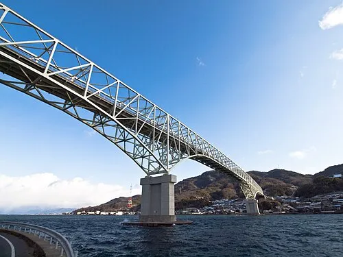 Kurahashi Jima Island, Hiroshima24 km SE
-
Nishiki River River, Yamaguchi17 km SW
-
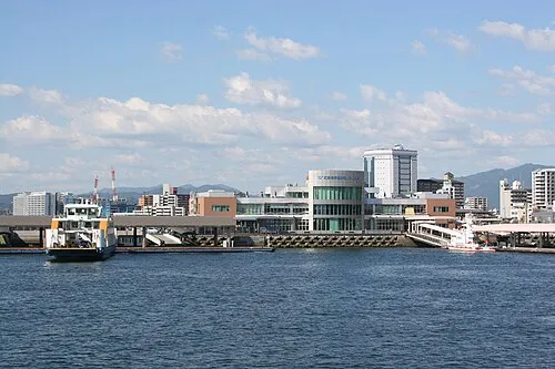 Hiroshima Bay Natural site, Japan22 km S
-
 Carp castle Historic site, Naka-ku19 km NE
Sources & licences
Data last updated: · 2 independent sources