- Local time
- UTC+09:00
- Asia/Tokyo · UTC+09:00
- Airports
- IWK Iwakuni Kintaikyo Airport28 km
- HIJ Hiroshima Airport48 km
About Ota River
Ota River is a river. Location: Japan.
Ōta River (太田川, Ōta-gawa; Japanese pronunciation: [ò̞ó̞.tä́.ɡä̀.β̞ä̀, -ŋä̀-, ó̞ó̞-]) is a 103-kilometre-long (64-mile) Class A river in Hiroshima Prefecture, Japan.
Read more on Wikipedia Text: Wikipedia contributors · CC BY-SA 4.0 · shortened
At a glance
- Length
- 103 km
Source: Wikidata
Climate of Ota River
Best months for sightseeingBest months for sightseeing: May–June, September–October.
Bars: average monthly low and high temperature. Below: precipitation. Monthly averages for 1970–2000 at about 18 km resolution, adjusted for elevation. Highlighted months are mild and relatively dry. Source: WorldClim 2.1 (CC BY 4.0).
Show values as a table
| Month | Jan | Feb | Mar | Apr | May | Jun | Jul | Aug | Sep | Oct | Nov | Dec |
|---|---|---|---|---|---|---|---|---|---|---|---|---|
| Average high (°C) | 8° | 9° | 12° | 18° | 22° | 25° | 29° | 31° | 27° | 22° | 16° | 11° |
| Average low (°C) | 1° | 1° | 3° | 9° | 13° | 18° | 22° | 23° | 19° | 13° | 7° | 3° |
| Precipitation (mm) | 66 | 83 | 130 | 172 | 183 | 302 | 264 | 193 | 239 | 132 | 91 | 52 |
Other places to visit in this season: May June September October
Airports nearest to Ota River
- Iwakuni Kintaikyo Airport (IWK) Iwakuni 28 km
- Hiroshima Airport (HIJ) Hiroshima 48 km
- Matsuyama Airport (MYJ) Matsuyama 65 km
Straight-line distance; airports with scheduled flights only. Source: OurAirports (public domain).
Nearest towns and villages
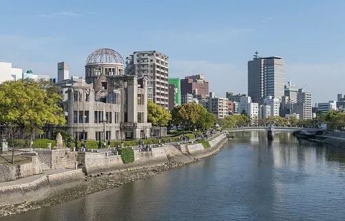
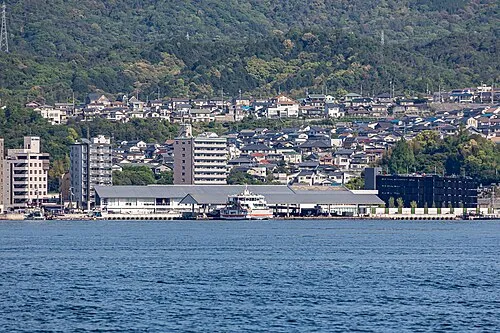
Nearby attractions & nature
Everything nearby-
 Nino Shima Island, Hiroshima6.5 km SE
-
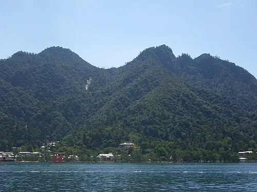 Mont Misen Mountain, Hatsukaichi-shi12 km SW
-
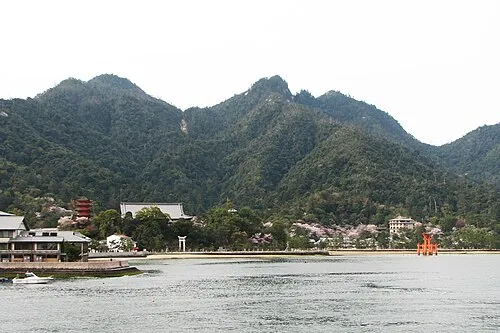 Itsuku Shima Island, Hiroshima14 km SW
-
 Carp castle Historic site, Naka-ku6.4 km NE
-
Oze Gawa River, Japan23 km SW
More lakes, rivers and coasts in Japan
-
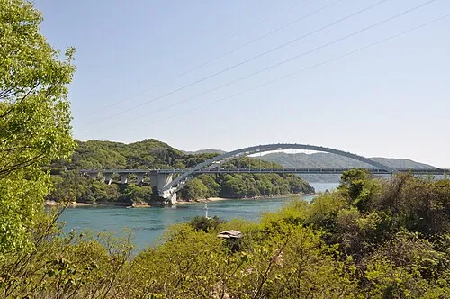 Ōmi Shima Island, Imabari57 km E
-
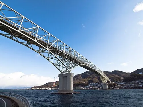 Kurahashi Jima Island, Hiroshima27 km S
-
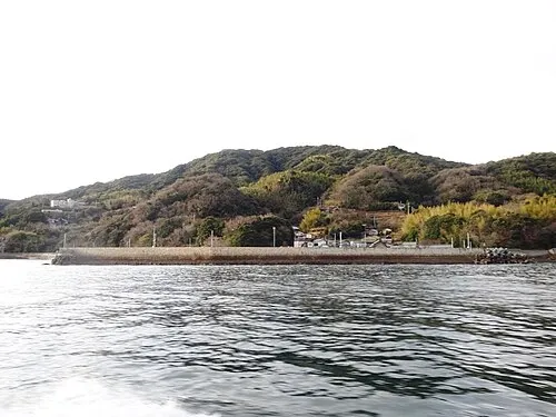 Hashira Island Island, Yamaguchi38 km S
-
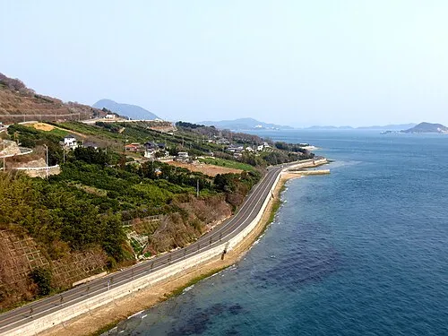 Ikuchi Jima Island, Hiroshima65 km E
-
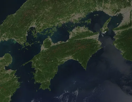 Shikoku Island, Japan122 km SE
-
Nishiki River River, Yamaguchi30 km SW
Sources & licences
Data last updated: · 2 independent sources