- Elevation
- 258 m
- above sea level
- Local time
- UTC+09:00
- Asia/Tokyo · UTC+09:00
- Population
- 184
- 184
- Airports
- IWK Iwakuni Kintaikyo Airport21 km
- MYJ Matsuyama Airport34 km
About Hashira Island
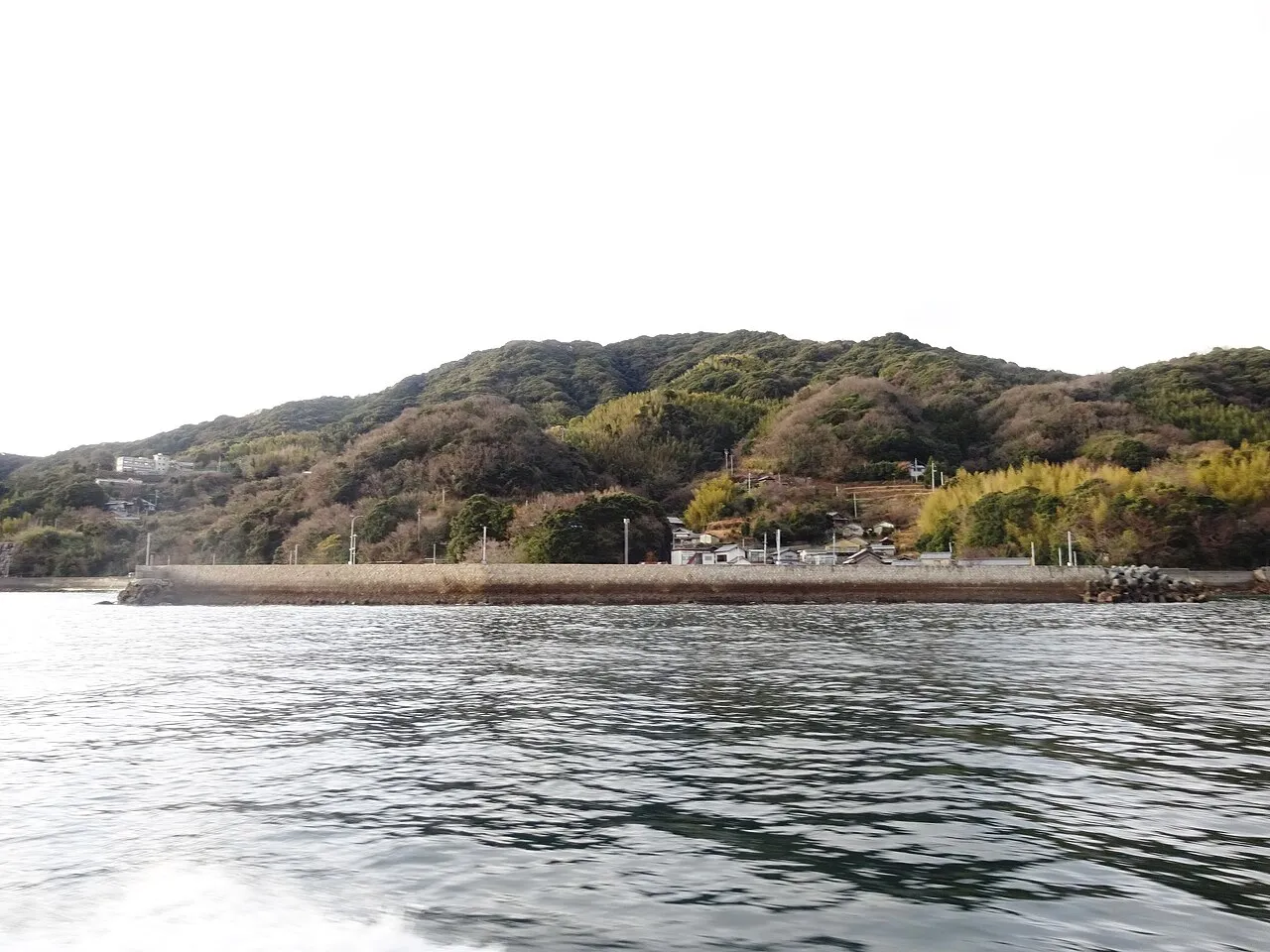
Hashira Island is an island. Location: Yamaguchi, Japan. Population: 184.
Hashira Island (Japanese: 柱島, Hepburn: Hashira-jima) is an island in southern Hiroshima Bay in the Inland Sea, Yamaguchi Prefecture, Japan. Located 26 kilometres (16 mi) southeast of Iwakuni, it is part of the Kutsuna Islands within the Bōyo Islands group. The island covers 3.12 square kilometres (1.20 mi2) and as of 2013 had a population of 184 residents. The highest point on the island is Mt. Kinzō. Economic activity on the island consists of fishing and cultivation of vegetables and citrus fruit.
Source: Wikipedia · CC BY-SA 4.0
At a glance
- Area
- 3.1 km²
Source: Wikidata
Climate of Hashira Island
Best months for sightseeingBest months for sightseeing: May–June, September–October.
This month · November
Outside the best season
Day 16° · Night 8° · Rain 81 mm
Better nearby cities in November
- Ōita · 115 km southwest18°
- Kochi · 116 km southeast18°
- Beppu · 118 km southwest17°
- Hottest month
- August (day 29°)
- Coldest month
- February (night 1°)
- Wettest month
- June (283 mm)
- Driest month
- December (43 mm)
Bars: average monthly low and high temperature. Below: precipitation. Monthly averages for 1970–2000 at about 18 km resolution, adjusted for elevation. Highlighted months are mild and relatively dry. Source: WorldClim 2.1 (CC BY 4.0).
Show values as a table
| Month | Jan | Feb | Mar | Apr | May | Jun | Jul | Aug | Sep | Oct | Nov | Dec |
|---|---|---|---|---|---|---|---|---|---|---|---|---|
| Average high (°C) | 8° | 8° | 11° | 16° | 20° | 24° | 28° | 29° | 25° | 21° | 16° | 11° |
| Average low (°C) | 1° | 1° | 3° | 8° | 13° | 17° | 22° | 23° | 19° | 13° | 8° | 3° |
| Precipitation (mm) | 51 | 74 | 121 | 172 | 176 | 283 | 223 | 160 | 205 | 121 | 81 | 43 |
Other places to visit in this season: May June September October
How to get to Hashira Island
The nearest airport is Iwakuni Kintaikyo Airport (IWK), 21 km to the northwest as the crow flies. For international flights: Matsuyama Airport (MYJ) (34 km). The nearest large city is Iwakuni, 24 km to the northwest.
Airports
- Iwakuni Kintaikyo Airport (IWK) Iwakuni 21 kmnorthwest
- Matsuyama Airport (MYJ) Matsuyama 34 kmsoutheast
- Hiroshima Airport (HIJ) Hiroshima 66 kmnortheast
Nearby large cities
- Iwakuni Population: 129.1K 24 kmnorthwest
- Kure Population: 214.6K 27 kmnortheast
- Hatsukaichi Population: 114.2K 37 kmnorth
- Matsuyama Population: 511.2K 38 kmsoutheast
- Hiroshima Population: 1.2M 42 kmnorth
Straight-line distances; road distances are longer. Airport data: OurAirports.
Nearest towns and villages
-
Hashirajima Village, Iwakuni Shi0.8 km E
-
Suō-ōshima Chō Municipality, Ōshima-gun17 km SW
-
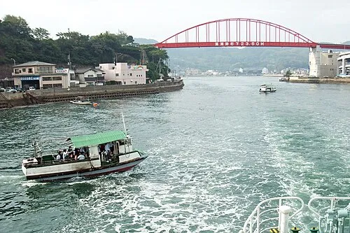 Kure City, Kure27 km NE
-
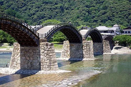 Iwakuni City, Iwakuni Shi24 km NW
-
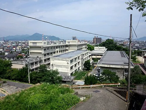 Ōtake City, Ōtake27 km NW
-
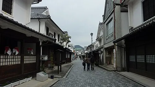 Yanai City, Yanai Shi28 km W
Nearby attractions & nature
Everything nearby-
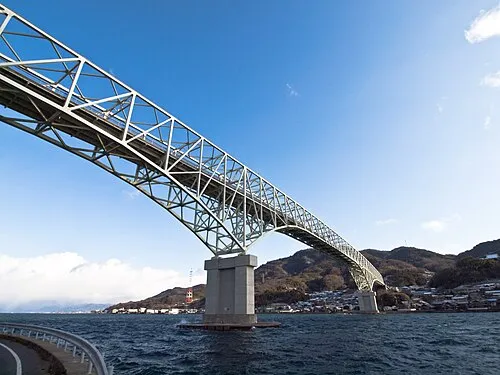 Kurahashi Jima Island, Hiroshima16 km NE
-
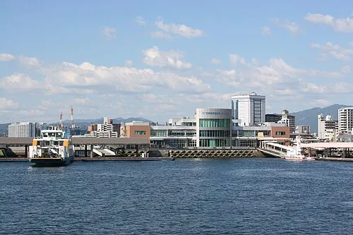 Hiroshima Bay Natural site, Japan10 km NW
-
Kurahashi-jima Island, Japan15 km NE
-
Nishiki River River, Yamaguchi25 km NW
More lakes, rivers and coasts in Japan
-
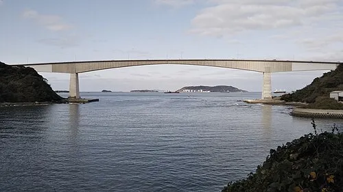 Hiko Shima Island, Shimonoseki Shi139 km W
-
 Iwai Sima Island, Yamaguchi49 km SW
-
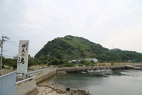 Ōtsu Shima Island, Yamaguchi65 km W
-
Su Shima Island, Yamaguchi63 km W
-
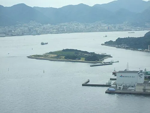 Ganryū-jima Island, Yamaguchi137 km W
-
Tsuno Shima Island, Yamaguchi147 km W
Sources & licences
Data last updated: · 2 independent sources