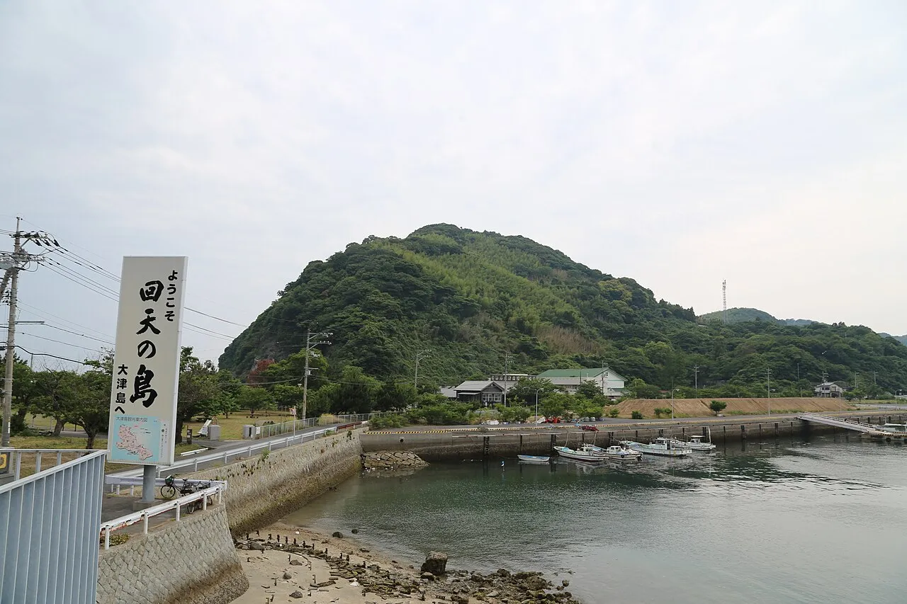
- Elevation
- 145 m
- above sea level
- Local time
- UTC+09:00
- Asia/Tokyo · UTC+09:00
- Airports
- UBJ Yamaguchi Ube Airport40 km
- IWK Iwakuni Kintaikyo Airport52 km
About Ōtsu Shima
Ōtsu Shima is an island. Location: Yamaguchi, Japan.
Ōzushima (大津島), or Ozu Island, is an inhabited island in the Inland Sea, Japan. Administratively, it forms part of the city of Shūnan, Yamaguchi Prefecture. Ōzushima is also known as "Kaiten Island".
Read more on Wikipedia Text: Wikipedia contributors · CC BY-SA 4.0 · shortened
Climate of Ōtsu Shima
Best months for sightseeingBest months for sightseeing: May–June, September–October.
Bars: average monthly low and high temperature. Below: precipitation. Monthly averages for 1970–2000 at about 18 km resolution, adjusted for elevation. Highlighted months are mild and relatively dry. Source: WorldClim 2.1 (CC BY 4.0).
Show values as a table
| Month | Jan | Feb | Mar | Apr | May | Jun | Jul | Aug | Sep | Oct | Nov | Dec |
|---|---|---|---|---|---|---|---|---|---|---|---|---|
| Average high (°C) | 8° | 9° | 12° | 17° | 22° | 25° | 28° | 30° | 26° | 21° | 16° | 11° |
| Average low (°C) | 1° | 1° | 4° | 9° | 13° | 18° | 22° | 23° | 19° | 13° | 8° | 3° |
| Precipitation (mm) | 61 | 83 | 129 | 198 | 200 | 306 | 305 | 142 | 208 | 107 | 76 | 54 |
Other places to visit in this season: May June September October
Airports nearest to Ōtsu Shima
- Yamaguchi Ube Airport (UBJ) Ube 40 km
- Iwakuni Kintaikyo Airport (IWK) Iwakuni 52 km
- Oita Airport (OIT) Oita 58 km
Straight-line distance; airports with scheduled flights only. Source: OurAirports (public domain).
Nearest towns and villages
More lakes, rivers and coasts in Japan
-
Su Shima Island, Yamaguchi3.6 km SE
-
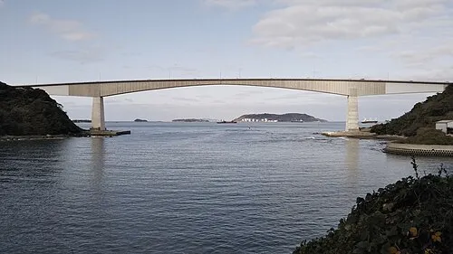 Hiko Shima Island, Shimonoseki Shi74 km W
-
 Iwai Sima Island, Yamaguchi35 km SE
-
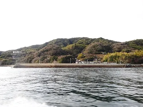 Hashira Island Island, Yamaguchi65 km E
-
Nishiki River River, Yamaguchi49 km E
-
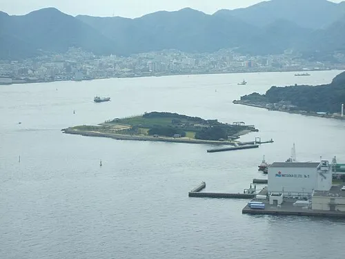 Ganryū-jima Island, Yamaguchi72 km W
Sources & licences
Data last updated: · 2 independent sources