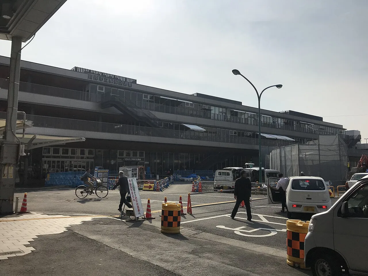
- Population
- 101,133
- 101.1K
- Elevation
- 35 m
- above sea level
- Local time
- UTC+09:00
- Asia/Tokyo · UTC+09:00
- Airports
- IWK Iwakuni Kintaikyo Airport41 km
- UBJ Yamaguchi Ube Airport51 km
About Tokuyama
Tokuyama is a city. Location: Shūnan Shi, Yamaguchi. Population: 101,133. Elevation: 35 m.
Tokuyama (徳山市, Tokuyama-shi) was a city located in Yamaguchi Prefecture, Japan. On April 21, 2003, Tokuyama, along with the city of Shinnan'yō, the town of Kumage (from Kumage District), and the town of Kano (from Tsuno District), was merged to create the city of Shūnan. The city had a population of about 150,000 people. Its location along the Sanyō Shinkansen made for easy access to nearby cities such as Hiroshima and Fukuoka. Hikari holds a sizable beach.
Source: Wikipedia · CC BY-SA 4.0
Climate of Tokuyama
Best months for sightseeingBest months for sightseeing: May–June, October.
This month · November
Outside the best season
Day 17° · Night 8° · Rain 76 mm
Better nearby cities in November
- Beppu · 91 km south17°
- Ōita · 93 km south18°
- Nobeoka · 164 km south18°
- Hottest month
- August (day 30°)
- Coldest month
- January (night 1°)
- Wettest month
- June (306 mm)
- Driest month
- December (54 mm)
Bars: average monthly low and high temperature. Below: precipitation. Monthly averages for 1970–2000 at about 18 km resolution, adjusted for elevation. Highlighted months are mild and relatively dry. Source: WorldClim 2.1 (CC BY 4.0).
Show values as a table
| Month | Jan | Feb | Mar | Apr | May | Jun | Jul | Aug | Sep | Oct | Nov | Dec |
|---|---|---|---|---|---|---|---|---|---|---|---|---|
| Average high (°C) | 9° | 9° | 13° | 18° | 22° | 25° | 29° | 30° | 27° | 22° | 17° | 12° |
| Average low (°C) | 1° | 2° | 4° | 9° | 14° | 19° | 23° | 24° | 20° | 14° | 8° | 3° |
| Precipitation (mm) | 61 | 83 | 129 | 198 | 200 | 306 | 305 | 142 | 208 | 107 | 76 | 54 |
How to get to Tokuyama
The nearest airport is Iwakuni Kintaikyo Airport (IWK), 41 km to the east as the crow flies. The nearest large city is Shūnan, 3 km to the north.
Airports
- Iwakuni Kintaikyo Airport (IWK) Iwakuni 41 kmeast
- Yamaguchi Ube Airport (UBJ) Ube 51 kmwest
- Oita Airport (OIT) Oita 64 kmsouth
Nearby large cities
- Shūnan Population: 149.6K 3 kmnorth
- Hōfu Population: 116.9K 23 kmwest
- Yamaguchi Population: 194K 36 kmnorthwest
- Iwakuni Population: 129.1K 39 kmeast
- Ube Population: 173.7K 54 kmwest
Straight-line distances; road distances are longer. Airport data: OurAirports.
Day trips from Tokuyama
Within 100 km: 8 historic and cultural sites, 13 natural sites, 20 lakes, rivers and coasts.
0–25 km2 places
- Su Shima Island 11 kmSW
- Ōtsu Shima Island 11 kmSW
25–60 km8 places
- Itsuku Shima Island 51 kmNE
- Hashira Island Island 55 kmE
- Mont Misen Mountain 53 kmNE
- Oze Gawa River 43 kmNE
60–100 km31 places
- Hiko Shima Island 85 kmW
- Ao Island Island 71 kmSE
- Ise Jima Island 81 kmN
- Osorakan Zan Mountain 67 kmNE
Straight-line distances.
Tokuyama and similar cities
Side by side with cities of similar size in the same country: population, elevation and climate.
| Measure | Tokuyama | Kanoya | Chikusei | Iida |
|---|---|---|---|---|
| Population | 101.1K | 101.1K | 100.8K | 101.5K |
| Elevation | 35 m | 23 m | 33 m | 517 m |
| Summer day (hottest month) | 30° | 31° | 30° | 30° |
| Winter night (coldest month) | 1° | 2° | -3° | -3° |
| Annual rainfall | 1,869 mm | 2,443 mm | 1,310 mm | 1,871 mm |
| Best months | May–Jun, Oct | Apr–Jun, Oct–Nov | May–Jun, Sep–Oct | May–Jun, Sep–Oct |
| Distance | — | 309 km | 785 km | 573 km |
Climate values are 1970–2000 monthly averages; straight-line distance.
Nearby attractions & nature
Everything nearby-
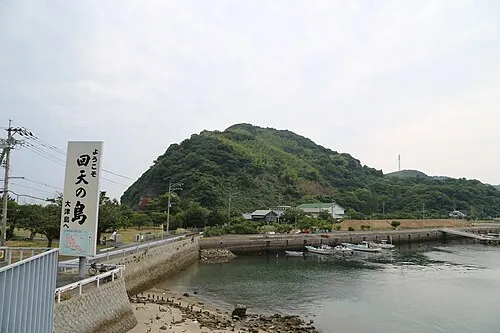 Ōtsu Shima Island, Yamaguchi11 km SW
-
Su Shima Island, Yamaguchi11 km SW
Sources & licences
Data last updated: · 2 independent sources