
- Elevation
- 274 m
- above sea level
- Local time
- UTC+09:00
- Asia/Tokyo · UTC+09:00
- Airports
- OIT Oita Airport40 km
- IWK Iwakuni Kintaikyo Airport48 km
About Iwai Sima
Iwai Sima is an island. Location: Yamaguchi, Japan.
Iwai Island (祝島, Iwai-shima) is an island of the Inland Sea in Japan. With a total altitude of 82 m, it lies at the south-eastern edge of the Yamaguchi Prefecture (山口県, Yamaguchi-ken) at coordinates 33°46′48.00″N 131°58′12.00″E. The name is derived from the ancient ritual of passing travellers and is in fact home to a ceremonial fishing dance specific to the island as noted in the crew journey log of the Hokule‘a on their journey from Micronesia to Japan.
Read more on Wikipedia Text: Wikipedia contributors · CC BY-SA 4.0 · shortened
Climate of Iwai Sima
Best months for sightseeingBest months for sightseeing: May–June, September–October.
Bars: average monthly low and high temperature. Below: precipitation. Monthly averages for 1970–2000 at about 18 km resolution, adjusted for elevation. Highlighted months are mild and relatively dry. Source: WorldClim 2.1 (CC BY 4.0).
Show values as a table
| Month | Jan | Feb | Mar | Apr | May | Jun | Jul | Aug | Sep | Oct | Nov | Dec |
|---|---|---|---|---|---|---|---|---|---|---|---|---|
| Average high (°C) | 9° | 8° | 11° | 16° | 20° | 23° | 27° | 28° | 25° | 21° | 16° | 12° |
| Average low (°C) | 3° | 2° | 4° | 9° | 13° | 17° | 22° | 23° | 19° | 14° | 10° | 5° |
| Precipitation (mm) | 51 | 76 | 117 | 180 | 183 | 270 | 257 | 140 | 206 | 111 | 72 | 51 |
Other places to visit in this season: May June September October
Airports nearest to Iwai Sima
- Oita Airport (OIT) Oita 40 km
- Iwakuni Kintaikyo Airport (IWK) Iwakuni 48 km
- Yamaguchi Ube Airport (UBJ) Ube 66 km
Straight-line distance; airports with scheduled flights only. Source: OurAirports (public domain).
Nearest towns and villages
-
Iwaishima Village, Kaminoseki Chō1.5 km E
-
Kaminoseki Chō Municipality, Kumage-gun9.3 km E
-
Hirao Chō Municipality, Kumage-gun18 km NE
-
Kaminoseki Village, Kaminoseki Chō14 km NE
-
Tabuse Chō Municipality, Kumage-gun20 km N
-
Hikari City, Hikari Shi19 km N
More lakes, rivers and coasts in Japan
-
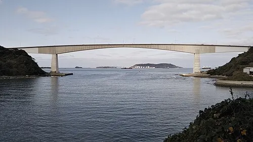 Hiko Shima Island, Shimonoseki Shi100 km W
-
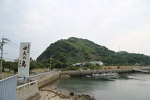 Ōtsu Shima Island, Yamaguchi35 km NW
-
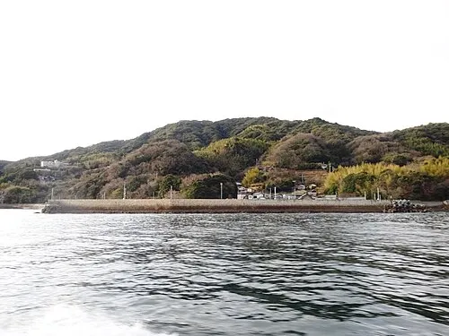 Hashira Island Island, Yamaguchi49 km NE
-
Su Shima Island, Yamaguchi31 km NW
-
Nishiki River River, Yamaguchi47 km NE
-
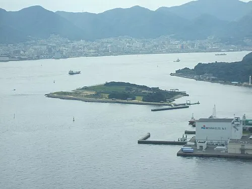 Ganryū-jima Island, Yamaguchi98 km W
Sources & licences
Data last updated: · 2 independent sources