- Elevation
- 51 m
- above sea level
- Local time
- UTC+09:00
- Asia/Tokyo · UTC+09:00
- Airports
- IWK Iwakuni Kintaikyo Airport4 km
- MYJ Matsuyama Airport59 km
About Nishiki River
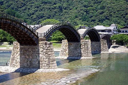
Nishiki River is a river. Location: Yamaguchi, Japan. The best months to visit are May–June, October. The nearest airport is Iwakuni Kintaikyo Airport (4 km). Nearby sights include Oze Gawa and Itsuku Shima.
Climate of Nishiki River
Best months for sightseeingBest months for sightseeing: May–June, October.
This month · November
Outside the best season
Day 17° · Night 9° · Rain 79 mm
Better nearby cities in November
- Ōita · 117 km southwest18°
- Beppu · 117 km southwest17°
- Kochi · 140 km southeast18°
- Hottest month
- August (day 30°)
- Coldest month
- January (night 2°)
- Wettest month
- June (293 mm)
- Driest month
- December (45 mm)
Bars: average monthly low and high temperature. Below: precipitation. Monthly averages for 1970–2000 at about 18 km resolution, adjusted for elevation. Highlighted months are mild and relatively dry. Source: WorldClim 2.1 (CC BY 4.0).
Show values as a table
| Month | Jan | Feb | Mar | Apr | May | Jun | Jul | Aug | Sep | Oct | Nov | Dec |
|---|---|---|---|---|---|---|---|---|---|---|---|---|
| Average high (°C) | 9° | 9° | 12° | 18° | 22° | 25° | 29° | 30° | 27° | 22° | 17° | 12° |
| Average low (°C) | 2° | 2° | 4° | 10° | 14° | 19° | 23° | 24° | 20° | 14° | 9° | 4° |
| Precipitation (mm) | 56 | 78 | 128 | 185 | 186 | 293 | 247 | 145 | 196 | 114 | 79 | 45 |
How to get to Nishiki River
The nearest airport is Iwakuni Kintaikyo Airport (IWK), 4 km to the east as the crow flies. For international flights: Matsuyama Airport (MYJ) (59 km). The nearest large city is Iwakuni, 2 km to the east.
Airports
- Iwakuni Kintaikyo Airport (IWK) Iwakuni 4 kmeast
- Matsuyama Airport (MYJ) Matsuyama 59 kmsoutheast
- Iwami Airport (IWJ) Masuda 69 kmnorthwest
Nearby large cities
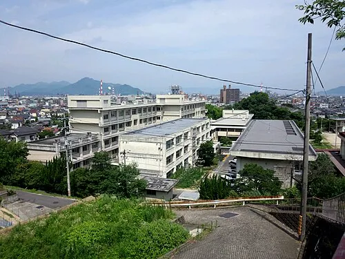
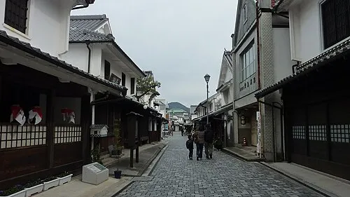
- Iwakuni Population: 129.1K 2 kmeast
- Hatsukaichi Population: 114.2K 24 kmnortheast
- Kure Population: 214.6K 35 kmeast
- Hiroshima Population: 1.2M 35 kmnortheast
- Shūnan Population: 149.6K 36 kmwest
Straight-line distances; road distances are longer. Airport data: OurAirports.
Nearest towns and villages
Nearby attractions & nature
Everything nearby-
Oze Gawa River, Japan7.1 km NE
-
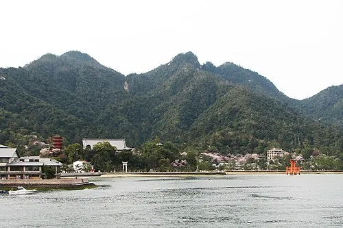 Itsuku Shima Island, Hiroshima16 km NE
-
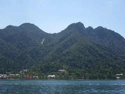 Mont Misen Mountain, Hatsukaichi-shi17 km NE
-
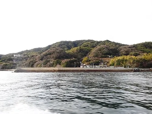 Hashira Island Island, Yamaguchi25 km SE
-
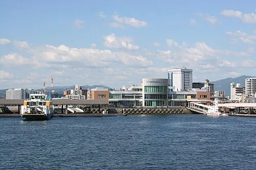 Hiroshima Bay Natural site, Japan15 km SE
More lakes, rivers and coasts in Japan
-
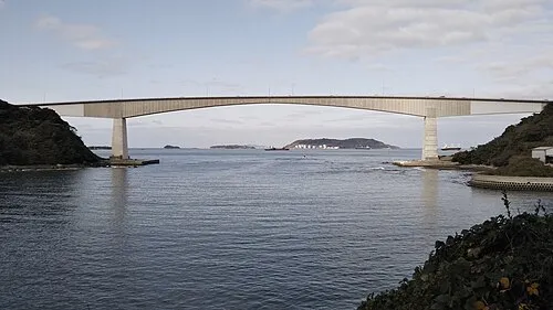 Hiko Shima Island, Shimonoseki Shi122 km W
-
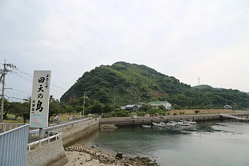 Ōtsu Shima Island, Yamaguchi49 km W
-
 Iwai Sima Island, Yamaguchi47 km SW
-
Su Shima Island, Yamaguchi47 km SW
-
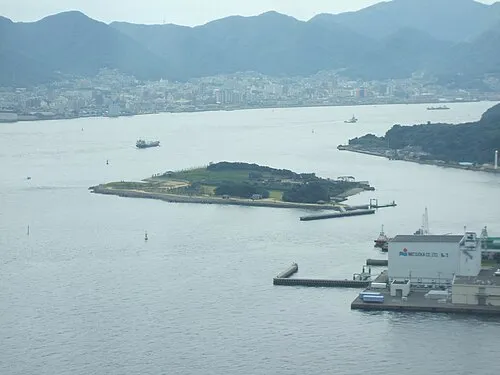 Ganryū-jima Island, Yamaguchi120 km W
-
Tsuno Shima Island, Yamaguchi125 km W
Sources & licences
Data last updated: