- Population
- 6,034
- 6K
- Elevation
- 54 m
- above sea level
- Local time
- UTC+09:00
- Asia/Tokyo · UTC+09:00
- Airports
- IWK Iwakuni Kintaikyo Airport7 km
- MYJ Matsuyama Airport61 km
About Waki
Waki is a town. Location: Waki Chō, Kuga Gun. Population: 6,034. Elevation: 54 m. The best months to visit are May–June, October. The nearest airport is Iwakuni Kintaikyo Airport (7 km). Nearby sights include Oze Gawa and Nishiki River.
Climate of Waki
Best months for sightseeingBest months for sightseeing: May–June, October.
This month · November
Outside the best season
Day 17° · Night 8° · Rain 85 mm
Better nearby cities in November
- Ōita · 122 km southwest18°
- Beppu · 122 km southwest17°
- Kochi · 141 km southeast18°
- Hottest month
- August (day 31°)
- Coldest month
- January (night 2°)
- Wettest month
- June (301 mm)
- Driest month
- December (50 mm)
Bars: average monthly low and high temperature. Below: precipitation. Monthly averages for 1970–2000 at about 18 km resolution, adjusted for elevation. Highlighted months are mild and relatively dry. Source: WorldClim 2.1 (CC BY 4.0).
Show values as a table
| Month | Jan | Feb | Mar | Apr | May | Jun | Jul | Aug | Sep | Oct | Nov | Dec |
|---|---|---|---|---|---|---|---|---|---|---|---|---|
| Average high (°C) | 9° | 9° | 13° | 18° | 22° | 25° | 29° | 31° | 27° | 22° | 17° | 12° |
| Average low (°C) | 2° | 2° | 4° | 9° | 14° | 19° | 23° | 24° | 20° | 14° | 8° | 4° |
| Precipitation (mm) | 63 | 81 | 132 | 184 | 187 | 301 | 263 | 164 | 212 | 120 | 85 | 50 |
How to get to Waki
The nearest airport is Iwakuni Kintaikyo Airport (IWK), 7 km to the southeast as the crow flies. For international flights: Matsuyama Airport (MYJ) (61 km). The nearest large city is Iwakuni, 4 km to the south.
Airports
- Iwakuni Kintaikyo Airport (IWK) Iwakuni 7 kmsoutheast
- Matsuyama Airport (MYJ) Matsuyama 61 kmsoutheast
- Iwami Airport (IWJ) Masuda 66 kmnorthwest
Nearby large cities
- Iwakuni Population: 129.1K 4 kmsouth
- Hatsukaichi Population: 114.2K 20 kmnortheast
- Hiroshima Population: 1.2M 31 kmnortheast
- Kure Population: 214.6K 32 kmeast
- Shūnan Population: 149.6K 38 kmwest
Straight-line distances; road distances are longer. Airport data: OurAirports.
Day trips from Waki
Within 100 km: 5 historic and cultural sites, 8 natural sites, 23 lakes, rivers and coasts.
0–25 km6 places
- Itsuku Shima Island 11 kmNE
- Nino Shima Island 24 kmNE
- Mont Misen Mountain 13 kmNE
- Oze Gawa River 3 kmNE
25–60 km12 places
- Ao Island Island 57 kmSE
- Hashira Island Island 27 kmSE
- Osorakan Zan Mountain 45 kmN
- Sandankyo Gorge Natural site 46 kmN
60–100 km18 places
- Ikuchi Jima Island 83 kmE
- Ōmi Shima Island 74 kmE
- Ise Jima Island 71 kmNW
- Eno-kawa River 92 kmN
Straight-line distances.
Nearby attractions & nature
Everything nearby-
Oze Gawa River, Japan2.9 km NE
-
Nishiki River River, Yamaguchi4.8 km S
-
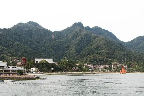 Itsuku Shima Island, Hiroshima11 km NE
-
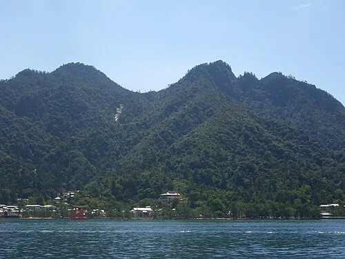 Mont Misen Mountain, Hatsukaichi-shi13 km NE
-
 Nino Shima Island, Hiroshima24 km NE
-
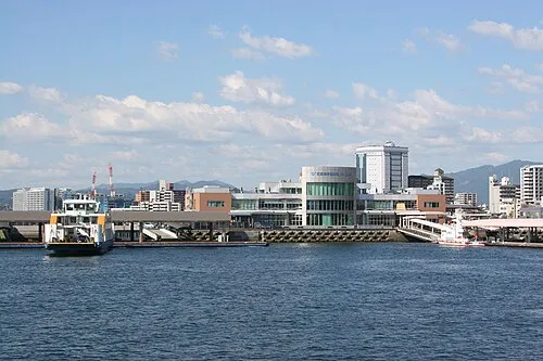 Hiroshima Bay Natural site, Japan17 km SE
Sources & licences
Data last updated: