Itsuku Shima
Local name: 厳島
Located in Hiroshima, Japan Coordinates: 34°16′21″ N 132°18′14″ E
- Elevation
- 295 m
- above sea level
- Local time
- UTC+09:00
- Asia/Tokyo · UTC+09:00
- Population
- 535
- 535
- Airports
- IWK Iwakuni Kintaikyo Airport15 km
- HIJ Hiroshima Airport59 km
About Itsuku Shima
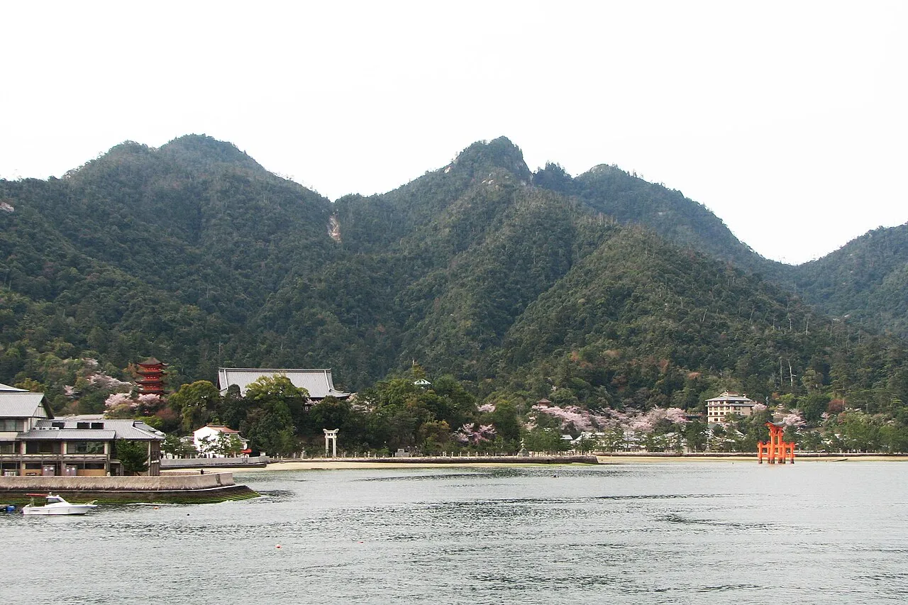
Itsuku Shima is an island. Location: Hiroshima, Japan. Population: 535.
Itsukushima (厳島) is an island in the western part of the Inland Sea of Japan, located in the northwest of Hiroshima Bay. It is popularly known as Miyajima (宮島), which in Japanese means "Shrine Island". The island is one of Hayashi Gahō's Three Views of Japan specified in 1643. Itsukushima is part of the city of Hatsukaichi in Hiroshima Prefecture. The island was part of the former town of Miyajima before the 2005 merger with Hatsukaichi.
Read more on Wikipedia Text: Wikipedia contributors · CC BY-SA 4.0 · shortened
At a glance
- Heritage designation
- Historic Site of Japan, Place of Scenic Beauty, Special Historic Site
- Area
- 30.3 km²
- Official website
- miyajima.or.jp
Source: Wikidata
Climate of Itsuku Shima
Best months for sightseeingBest months for sightseeing: May–June, September–October.
Bars: average monthly low and high temperature. Below: precipitation. Monthly averages for 1970–2000 at about 18 km resolution, adjusted for elevation. Highlighted months are mild and relatively dry. Source: WorldClim 2.1 (CC BY 4.0).
Show values as a table
| Month | Jan | Feb | Mar | Apr | May | Jun | Jul | Aug | Sep | Oct | Nov | Dec |
|---|---|---|---|---|---|---|---|---|---|---|---|---|
| Average high (°C) | 7° | 8° | 11° | 17° | 21° | 24° | 28° | 29° | 25° | 20° | 15° | 10° |
| Average low (°C) | 0° | 0° | 3° | 8° | 12° | 17° | 21° | 22° | 18° | 12° | 7° | 2° |
| Precipitation (mm) | 63 | 81 | 132 | 184 | 187 | 301 | 263 | 164 | 212 | 120 | 85 | 50 |
Other places to visit in this season: May June September October
Airports nearest to Itsuku Shima
- Iwakuni Kintaikyo Airport (IWK) Iwakuni 15 km
- Hiroshima Airport (HIJ) Hiroshima 59 km
- Matsuyama Airport (MYJ) Matsuyama 61 km
Straight-line distance; airports with scheduled flights only. Source: OurAirports (public domain).
Nearest towns and villages
Nearby attractions & nature
Everything nearby-
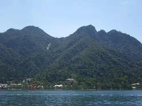 Mont Misen Mountain, Hatsukaichi-shi1.7 km NE
-
Oze Gawa River, Japan8.7 km SW
-
Ota River River, Japan14 km NE
-
 Nino Shima Island, Hiroshima13 km E
-
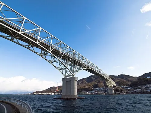 Kurahashi Jima Island, Hiroshima25 km SE
-
Nishiki River River, Yamaguchi16 km SW
-
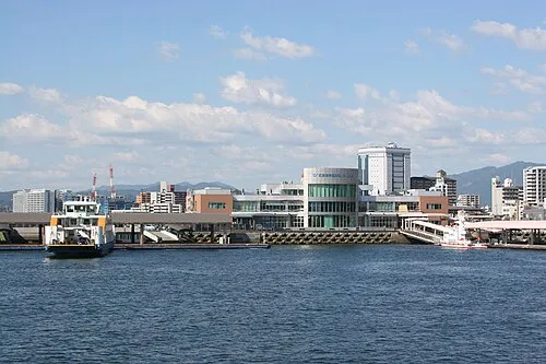 Hiroshima Bay Natural site, Japan21 km S
-
 Carp castle Historic site, Naka-ku20 km NE
More lakes, rivers and coasts in Japan
-
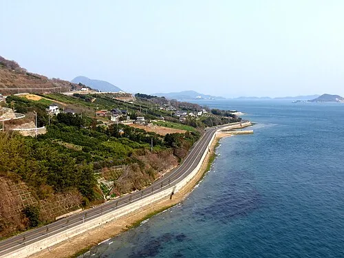 Ikuchi Jima Island, Hiroshima74 km E
-
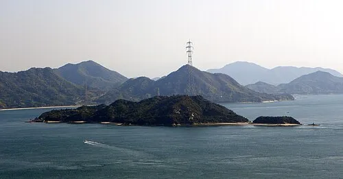 Ōkuno Shima Island, Hiroshima64 km E
-
Ashida River River, Hiroshima103 km E
Sources & licences
Data last updated: · 2 independent sources