- Population
- 18,536
- 18.5K
- Elevation
- 277 m
- above sea level
- Local time
- UTC+09:00
- Asia/Tokyo · UTC+09:00
- Airports
- IWK Iwakuni Kintaikyo Airport25 km
- MYJ Matsuyama Airport40 km
About Suō-ōshima Chō
Suō-ōshima Chō is a municipality. Location: Ōshima-gun, Yamaguchi. Population: 18,536. Elevation: 277 m.
Suō-Ōshima (周防大島町, Suō-Ōshima-chō) is a town and an island located in Ōshima District, Yamaguchi Prefecture, Japan. Suō-Ōshima was formed on October 1, 2004, from the merger of the former towns of Ōshima, Kuka, Tachibana and Tōwa, all from towns of Ōshima District. As of April 1, 2017, the town has an estimated population of 13,774. The total area is 138.17 km2. Suo-Oshima has established a sister island relationship with the County of Kauaʻi, Hawaii in 1963.
Source: Wikipedia · CC BY-SA 4.0
Places bordering Suō-ōshima Chō
- Yanai
- Iwakuni
- Matsuyama
- Ōzu
Population of Suō-ōshima Chō over time
| 2010 | 19,084 | |
|---|---|---|
| 2015 | 17,199 | |
| 2021 | 14,605 |
Censuses and official estimates; source: Wikidata.
Climate of Suō-ōshima Chō
Best months for sightseeingBest months for sightseeing: May–June, September–October.
This month · November
Outside the best season
Day 15° · Night 8° · Rain 76 mm
Better nearby cities in November
- Ōita · 99 km southwest18°
- Beppu · 102 km southwest17°
- Kochi · 123 km east18°
- Hottest month
- August (day 29°)
- Coldest month
- January (night 1°)
- Wettest month
- June (277 mm)
- Driest month
- December (47 mm)
Bars: average monthly low and high temperature. Below: precipitation. Monthly averages for 1970–2000 at about 18 km resolution, adjusted for elevation. Highlighted months are mild and relatively dry. Source: WorldClim 2.1 (CC BY 4.0).
Show values as a table
| Month | Jan | Feb | Mar | Apr | May | Jun | Jul | Aug | Sep | Oct | Nov | Dec |
|---|---|---|---|---|---|---|---|---|---|---|---|---|
| Average high (°C) | 8° | 8° | 11° | 16° | 20° | 23° | 27° | 29° | 25° | 20° | 15° | 10° |
| Average low (°C) | 1° | 1° | 3° | 8° | 13° | 17° | 21° | 22° | 19° | 13° | 8° | 3° |
| Precipitation (mm) | 52 | 76 | 122 | 179 | 180 | 277 | 237 | 148 | 197 | 117 | 76 | 47 |
Other places to visit in this season: May June September October
How to get to Suō-ōshima Chō
The nearest airport is Iwakuni Kintaikyo Airport (IWK), 25 km to the north as the crow flies. For international flights: Matsuyama Airport (MYJ) (40 km). The nearest large city is Iwakuni, 27 km to the north.
Airports
- Iwakuni Kintaikyo Airport (IWK) Iwakuni 25 kmnorth
- Matsuyama Airport (MYJ) Matsuyama 40 kmeast
- Oita Airport (OIT) Oita 70 kmsouthwest
Nearby large cities
- Iwakuni Population: 129.1K 27 kmnorth
- Kure Population: 214.6K 44 kmnortheast
- Tokuyama Population: 101.1K 45 kmwest
- Shūnan Population: 149.6K 46 kmnorthwest
- Matsuyama Population: 511.2K 46 kmeast
Straight-line distances; road distances are longer. Airport data: OurAirports.
Nearby attractions & nature
Everything nearby-
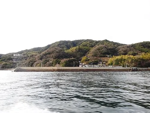 Hashira Island Island, Yamaguchi17 km NE
-
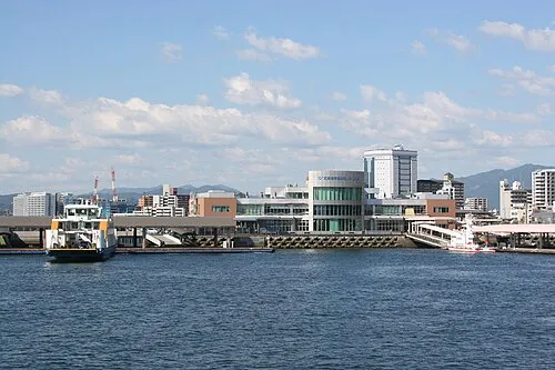 Hiroshima Bay Natural site, Japan19 km N
Sources & licences
Data last updated: · 2 independent sources