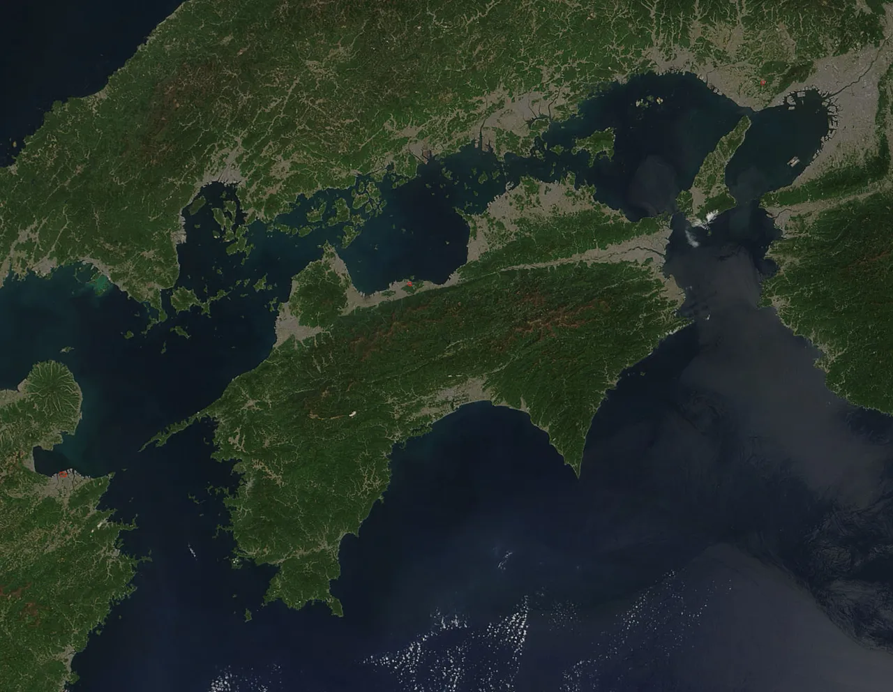
- Elevation
- 607 m
- above sea level
- Local time
- UTC+09:00
- Asia/Tokyo · UTC+09:00
- Population
- 4,141,955
- 4.1M
- Airports
- KCZ Kochi Ryoma Airport28 km
- TAK Takamatsu Airport70 km
About Shikoku
Shikoku is an island. Location: Japan. Population: 4,141,955.
Shikoku (四国, Shikoku; pronounced [ɕi̥.kó̞.kɯ̈̀, -kò̞-] , lit. 'four provinces') is the smallest of the four main islands of Japan. It is 225 kilometres (140 miles) long and between 50 and 150 kilometres (30 and 95 miles) wide. It has a population of 3.4 million, the least of Japan's four main islands. It is south of Honshu and northeast of Kyushu.
Read more on Wikipedia Text: Wikipedia contributors · CC BY-SA 4.0 · shortened
At a glance
- Length
- 225 km
- Area
- 18,297 km²
Source: Wikidata
Climate of Shikoku
Best months for sightseeingBest months for sightseeing: May–September.
Bars: average monthly low and high temperature. Below: precipitation. Monthly averages for 1970–2000 at about 18 km resolution, adjusted for elevation. Highlighted months are mild and relatively dry. Source: WorldClim 2.1 (CC BY 4.0).
Show values as a table
| Month | Jan | Feb | Mar | Apr | May | Jun | Jul | Aug | Sep | Oct | Nov | Dec |
|---|---|---|---|---|---|---|---|---|---|---|---|---|
| Average high (°C) | 5° | 6° | 10° | 15° | 20° | 22° | 26° | 27° | 24° | 19° | 13° | 8° |
| Average low (°C) | -2° | -2° | 2° | 8° | 12° | 16° | 20° | 21° | 17° | 11° | 6° | 0° |
| Precipitation (mm) | 53 | 84 | 132 | 208 | 231 | 332 | 308 | 165 | 275 | 158 | 95 | 53 |
Other places to visit in this season: May June July August September
Airports nearest to Shikoku
- Kochi Ryoma Airport (KCZ) Nankoku 28 km
- Takamatsu Airport (TAK) Takamatsu 70 km
- Matsuyama Airport (MYJ) Matsuyama 75 km
Straight-line distance; airports with scheduled flights only. Source: OurAirports (public domain).
Nearest towns and villages
-
Tosa-chō Municipality, Tosa-gun3.9 km SW
-
Motoyama-machi Municipality, Nagaoka Gun9.3 km E
-
Motoyama Village, Motoyama-machi9 km NE
-
Ōkawa Mura Municipality, Tosa-gun10 km NW
-
Ino Chō Municipality, Agawa-gun19 km SW
-
Kochi City, Kōchi Shi22 km S
Nearby attractions & nature
Everything nearby-
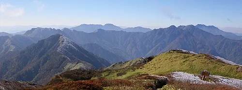 Shikoku-sammyaku Mountain, Japan11 km NW
-
Mount Inamura Mountain, Tosa-chō12 km W
-
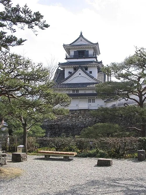 Kochi castle Historic site, Kōchi Shi21 km S
More lakes, rivers and coasts in Japan
-
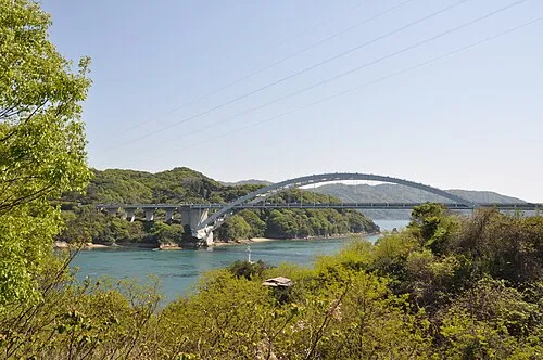 Ōmi Shima Island, Imabari71 km NW
-
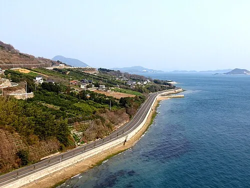 Ikuchi Jima Island, Hiroshima70 km NW
-
 Shiwaku Islands Island, Kagawa73 km N
-
Seki River River, Japan26 km N
-
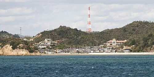 Nao Shima Island, Kagawa90 km NE
-
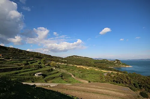 Te Shima Island, Kagawa97 km NE
Sources & licences
Data last updated: · 2 independent sources