
- Population
- 3,795
- 3.8K
- Elevation
- 346 m
- above sea level
- Local time
- UTC+09:00
- Asia/Tokyo · UTC+09:00
- Places inside
- 1
- listed under Motoyama-machi
- Airports
- KCZ Kochi Ryoma Airport24 km
- TAK Takamatsu Airport64 km
About Motoyama-machi
Motoyama-machi is a municipality. Location: Nagaoka Gun, Kochi. Population: 3,795. Elevation: 346 m.
Motoyama (本山町, Motoyama-chō) is a town located in Nagaoka District, Kōchi Prefecture, Japan. As of 31 July 2022, the town had an estimated population of 3‚318 in 1858 households and a population density of 25 persons per km2. The total area of the town is 134.22 square kilometres (51.82 sq mi). Motoyama has been named one of The Most Beautiful Villages in Japan.
Source: Wikipedia · CC BY-SA 4.0
Places bordering Motoyama-machi
- Nankoku Shi
- Kami Shi
- Ōtoyo Chō
- Tosa-gun
- Shikokuchūō
Population of Motoyama-machi over time
| 2010 | 4,103 | |
|---|---|---|
| 2015 | 3,573 | |
| 2021 | 3,335 |
Censuses and official estimates; source: Wikidata.
Climate of Motoyama-machi
Best months for sightseeingBest months for sightseeing: May–June, September–October.
This month · November
Outside the best season
Day 15° · Night 7° · Rain 95 mm
Better nearby cities in November
- Kochi · 23 km south18°
- Ōita · 194 km west18°
- Beppu · 202 km west17°
- Hottest month
- August (day 29°)
- Coldest month
- January (night 0°)
- Wettest month
- June (332 mm)
- Driest month
- January (53 mm)
Bars: average monthly low and high temperature. Below: precipitation. Monthly averages for 1970–2000 at about 18 km resolution, adjusted for elevation. Highlighted months are mild and relatively dry. Source: WorldClim 2.1 (CC BY 4.0).
Show values as a table
| Month | Jan | Feb | Mar | Apr | May | Jun | Jul | Aug | Sep | Oct | Nov | Dec |
|---|---|---|---|---|---|---|---|---|---|---|---|---|
| Average high (°C) | 7° | 8° | 12° | 17° | 21° | 24° | 28° | 29° | 25° | 20° | 15° | 10° |
| Average low (°C) | 0° | 0° | 4° | 9° | 14° | 18° | 22° | 23° | 19° | 13° | 7° | 2° |
| Precipitation (mm) | 53 | 84 | 132 | 208 | 231 | 332 | 308 | 165 | 275 | 158 | 95 | 53 |
Other places to visit in this season: May June September October
How to get to Motoyama-machi
The nearest airport is Kochi Ryoma Airport (KCZ), 24 km to the south as the crow flies. The nearest large city is Kochi, 23 km to the south.
Airports
- Kochi Ryoma Airport (KCZ) Nankoku 24 kmsouth
- Takamatsu Airport (TAK) Takamatsu 64 kmnortheast
- Matsuyama Airport (MYJ) Matsuyama 84 kmwest
Nearby large cities
- Kochi Population: 332.1K 23 kmsouth
- Niihama Population: 123.1K 36 kmnorthwest
- Saijō Population: 104.8K 43 kmnorthwest
- Marugame Population: 109.5K 62 kmnorth
- Imabari Population: 171K 66 kmnorthwest
Straight-line distances; road distances are longer. Airport data: OurAirports.
Day trips from Motoyama-machi
Within 100 km: 7 historic and cultural sites, 5 natural sites, 24 lakes, rivers and coasts.
0–25 km4 places
- Shikoku Island 9 kmW
- Mount Inamura Mountain 22 kmW
- Shikoku-sammyaku Mountain 18 kmNW
- Kochi castle Historic site 22 kmS
25–60 km6 places
- Nahari Gawa River 53 kmSE
- Aki River River 40 kmSE
- Mount Ishizuchi Mountain 45 kmW
- Seki River River 29 kmNW
60–100 km26 places
- Ikuchi Jima Island 75 kmNW
- Ōmi Shima Island 77 kmNW
- Nao Shima Island 86 kmNE
- Shiwaku Islands Island 71 kmN
Straight-line distances.
Places in Motoyama-machi
1 placeBar: population relative to the most populous place in this list.
Nearby attractions & nature
Everything nearby-
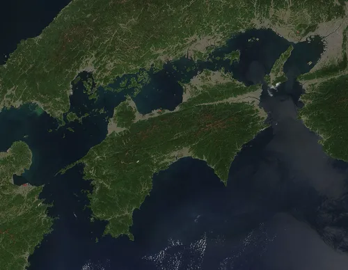 Shikoku Island, Japan9.3 km W
-
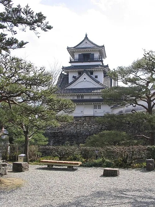 Kochi castle Historic site, Kōchi Shi22 km S
-
Mount Inamura Mountain, Tosa-chō22 km W
-
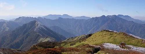 Shikoku-sammyaku Mountain, Japan18 km NW
Sources & licences
Data last updated: · 2 independent sources