- Elevation
- 1,189 m
- above sea level
- Local time
- UTC+09:00
- Asia/Tokyo · UTC+09:00
- Airports
- KCZ Kochi Ryoma Airport39 km
- MYJ Matsuyama Airport68 km
About Shikoku-sammyaku
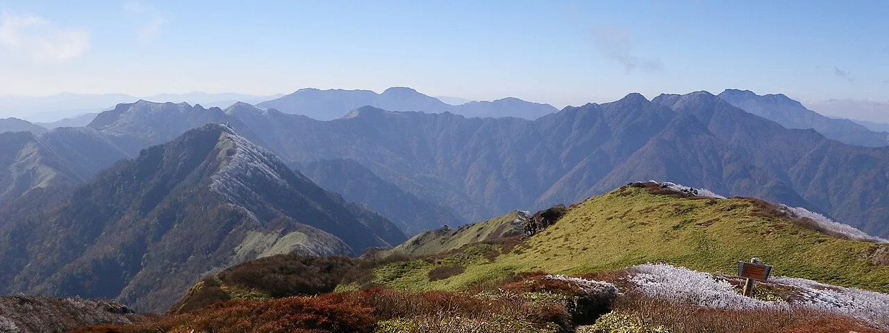
Shikoku-sammyaku is a mountain. Location: Japan. Elevation: 1,189 m.
The Shikoku Mountains (Japanese: 四国山地) are a mountain range that runs from east to west in the central part of Shikoku in Japan. The length of the mountain range is about 250 km (160 mi). The highest peak in the mountain range is Mount Ishizuchi with a height of 1,984m.
Source: Wikipedia · CC BY-SA 4.0
Climate of Shikoku-sammyaku
Best months for sightseeingBest months for sightseeing: July–September.
This month · November
A cold month
Day 10° · Night 2° · Rain 93 mm
Better nearby cities in November
- Kochi · 33 km south18°
- Ōita · 183 km west18°
- Beppu · 190 km west17°
- Hottest month
- August (day 23°)
- Coldest month
- January (night -6°)
- Wettest month
- June (343 mm)
- Driest month
- January (54 mm)
Bars: average monthly low and high temperature. Below: precipitation. Monthly averages for 1970–2000 at about 18 km resolution, adjusted for elevation. Highlighted months are mild and relatively dry. Source: WorldClim 2.1 (CC BY 4.0).
Show values as a table
| Month | Jan | Feb | Mar | Apr | May | Jun | Jul | Aug | Sep | Oct | Nov | Dec |
|---|---|---|---|---|---|---|---|---|---|---|---|---|
| Average high (°C) | 2° | 2° | 6° | 12° | 16° | 19° | 22° | 23° | 20° | 15° | 10° | 4° |
| Average low (°C) | -6° | -5° | -2° | 4° | 8° | 13° | 17° | 17° | 14° | 8° | 2° | -3° |
| Precipitation (mm) | 54 | 86 | 136 | 212 | 235 | 343 | 329 | 181 | 273 | 156 | 93 | 54 |
How to get to Shikoku-sammyaku
The nearest airport is Kochi Ryoma Airport (KCZ), 39 km to the southeast as the crow flies. The nearest large city is Niihama, 18 km to the northwest.
Airports
- Kochi Ryoma Airport (KCZ) Nankoku 39 kmsoutheast
- Matsuyama Airport (MYJ) Matsuyama 68 kmwest
- Takamatsu Airport (TAK) Takamatsu 68 kmnortheast
Nearby large cities
- Niihama Population: 123.1K 18 kmnorthwest
- Saijō Population: 104.8K 25 kmwest
- Kochi Population: 332.1K 33 kmsouth
- Imabari Population: 171K 48 kmnorthwest
- Marugame Population: 109.5K 59 kmnortheast
Straight-line distances; road distances are longer. Airport data: OurAirports.
Nearest towns and villages
-
Ōkawa Mura Municipality, Tosa-gun4 km SW
-
Tosa-chō Municipality, Tosa-gun12 km S
-
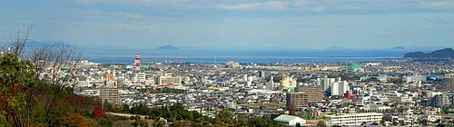 Niihama City, Niihama Shi18 km NW
-
Motoyama Village, Motoyama-machi14 km E
-
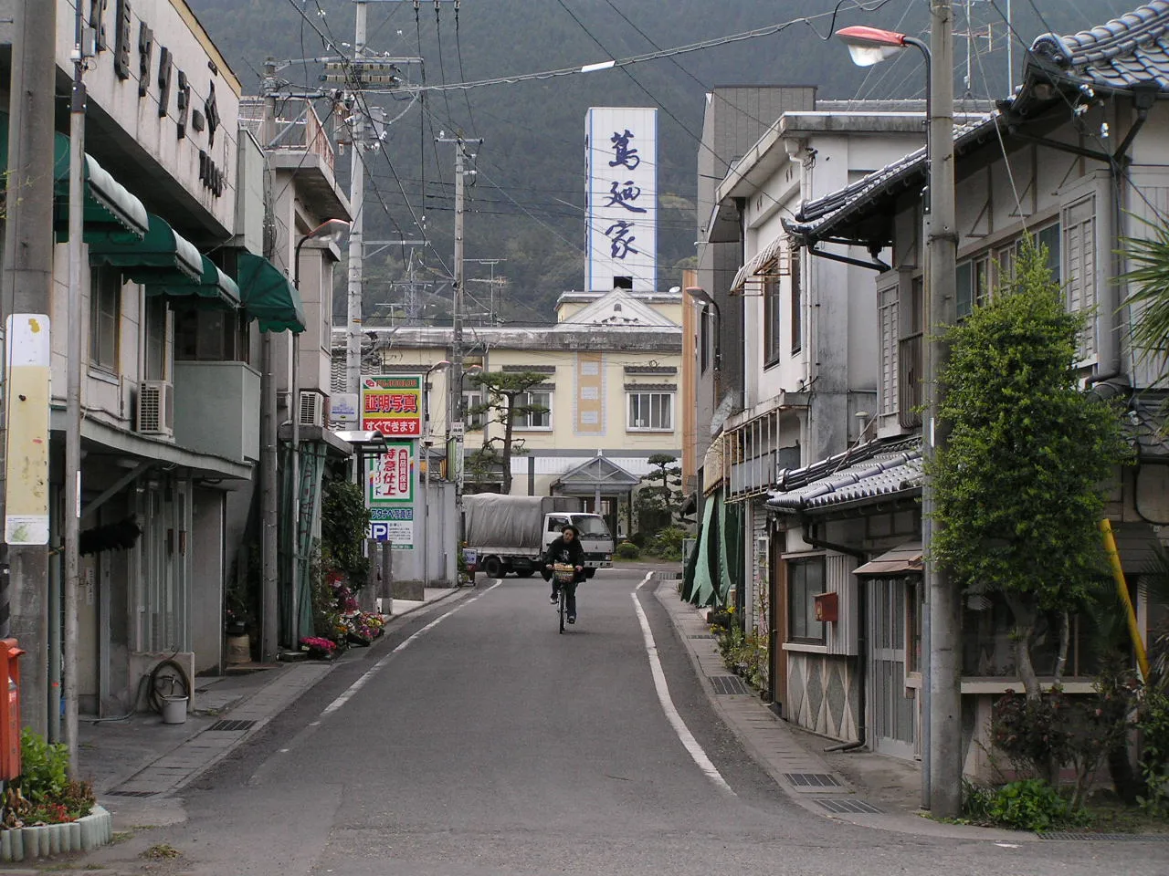 Shikokuchūō City, Shikoku-chūō Shi19 km NE
-
Motoyama-machi Municipality, Nagaoka Gun18 km SE
Nearby attractions & nature
Everything nearby-
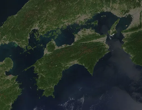 Shikoku Island, Japan11 km SE
-
Mount Inamura Mountain, Tosa-chō11 km SW
-
Seki River River, Japan16 km N
More nature in Japan
-
 Mount Ishizuchi Mountain, Saijō Shi30 km W
-
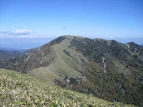 Mount Tsurugi Mountain, Naka Chō61 km E
-
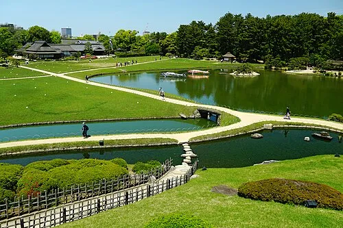 Kōrakuen Natural site, Kita-ku104 km NE
-
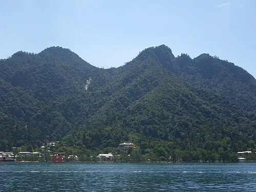 Mont Misen Mountain, Hatsukaichi-shi114 km NW
-
Yashima Natural site, Kagawa85 km NE
-
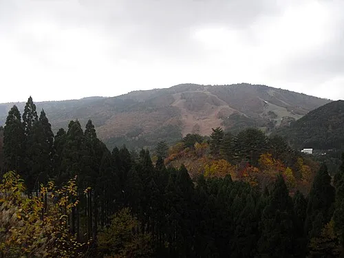 Osorakan Zan Mountain, Masuda Shi147 km NW
Sources & licences
Data last updated: · 2 independent sources