Kōrakuen
Local name: 後楽園
Located in Kita-ku, Okayama Shi Coordinates: 34°40′04″ N 133°56′10″ E
- Elevation
- 4 m
- above sea level
- Local time
- UTC+09:00
- Asia/Tokyo · UTC+09:00
- Airports
- OKJ Okayama Momotaro Airport12 km
- TAK Takamatsu Airport51 km
About Kōrakuen
Kōrakuen is a natural site. Location: Kita-ku, Okayama Shi.
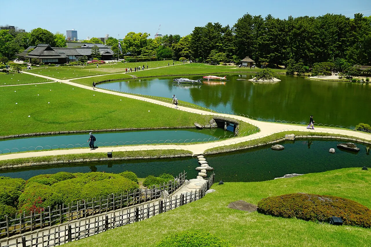
Kōraku-en (後楽園, Kōrakuen) is a Japanese garden located in Okayama, Okayama Prefecture. It is one of the Three Great Gardens of Japan, along with Kenroku-en and Kairaku-en. Korakuen was built in 1700 by Ikeda Tsunamasa, lord of Okayama. The garden reached its modern form in 1863. Zhu Zhiyu, one of the greatest scholars of Confucianism in the Ming dynasty and Edo Japan, helped to redesign the garden.
Source: Wikipedia · CC BY-SA 4.0
At a glance
- Built
- 1700
- Heritage designation
- Place of Scenic Beauty, Special Place of Scenic Beauty
- Area
- 14 ha
- Official website
- okayama-korakuen.jp
Source: Wikidata
Photos of Kōrakuen
-

663highland · CC BY 2.5 -
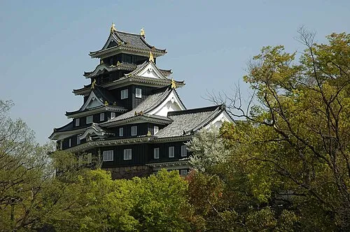
Crow Castle by Reggaeman · CC BY-SA 3.0 -

663highland · CC BY 2.5


Climate of Kōrakuen
Best months for sightseeingBest months for sightseeing: May, October.
This month · November
Outside the best season
Day 16° · Night 7° · Rain 67 mm
Better nearby cities in November
- Kochi · 130 km south18°
- Ōita · 268 km southwest18°
- Beppu · 273 km southwest17°
- Hottest month
- August (day 32°)
- Coldest month
- January (night 0°)
- Wettest month
- June (224 mm)
- Driest month
- December (32 mm)
Bars: average monthly low and high temperature. Below: precipitation. Monthly averages for 1970–2000 at about 18 km resolution, adjusted for elevation. Highlighted months are mild and relatively dry. Source: WorldClim 2.1 (CC BY 4.0).
Show values as a table
| Month | Jan | Feb | Mar | Apr | May | Jun | Jul | Aug | Sep | Oct | Nov | Dec |
|---|---|---|---|---|---|---|---|---|---|---|---|---|
| Average high (°C) | 9° | 9° | 13° | 19° | 23° | 27° | 30° | 32° | 27° | 22° | 16° | 11° |
| Average low (°C) | 0° | 0° | 3° | 8° | 13° | 18° | 23° | 24° | 19° | 13° | 7° | 2° |
| Precipitation (mm) | 42 | 57 | 90 | 137 | 146 | 224 | 217 | 120 | 215 | 106 | 67 | 32 |
How to get to Kōrakuen
The nearest airport is Okayama Momotaro Airport (OKJ), 12 km to the northwest as the crow flies. The nearest large city is Kurashiki, 18 km to the southwest.
Airports
- Okayama Momotaro Airport (OKJ) Okayama 12 kmnorthwest
- Takamatsu Airport (TAK) Takamatsu 51 kmsouth
- Tokushima Awaodori Airport / JMSDF Tokushima Air Base (TKS) Tokushima 86 kmsoutheast
Nearby large cities
- Kurashiki Population: 483.6K 18 kmsouthwest
- Takamatsu Population: 419K 39 kmsouth
- Tsuyama Population: 102.3K 43 kmnorth
- Marugame Population: 109.5K 45 kmsouth
- Fukuyama Population: 468.8K 56 kmwest
Straight-line distances; road distances are longer. Airport data: OurAirports.
Day trips from Kōrakuen
Within 100 km: 12 historic and cultural sites, 13 natural sites, 30 lakes, rivers and coasts.
0–25 km6 places
- Nao Shima Island 23 kmS
- Te Shima Island 24 kmSE
- Yoshii River River 12 kmSE
- Asahi River River 7 kmSE
25–60 km18 places
- Shiwaku Islands Island 37 kmSW
- Manabe Island Island 48 kmSW
- Ogi Shima Island 29 kmSE
- Megi Shima Island 32 kmS
60–100 km31 places
- Awaji Island Island 88 kmE
- Ikuchi Jima Island 87 kmSW
- Ōmi Shima Island 96 kmSW
- Sendai River River 100 kmN
Straight-line distances.
Nearest towns and villages
-
 Naka-ku Municipality, Okayama Shi2.9 km E
-
 MInami-ku Municipality, Okayama Shi9.7 km S
-
 HIgashi-ku Municipality, Okayama Shi10 km E
-
 Hayashima Chō Municipality, Tsukubo-gun12 km SW
-
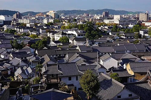 Kurashiki City, Kurashiki Shi18 km SW
-
Hayashima Town, Hayashima Chō12 km SW
Nearby attractions & nature
Everything nearby-
Crow Castle Historic site, Kita-ku0.3 km S
-
Asahi River River, Japan7.1 km SE
-
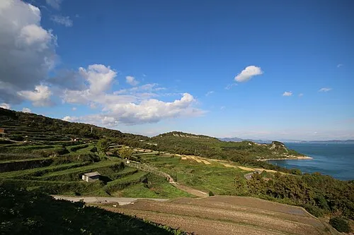 Te Shima Island, Kagawa24 km SE
-
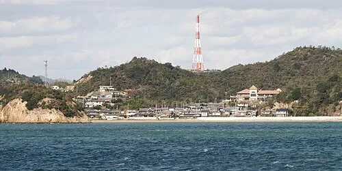 Nao Shima Island, Kagawa23 km S
-
Yoshii River River, Okayama12 km SE
-
Inujima Island, Okayama19 km SE
Sources & licences
Data last updated: · 2 independent sources