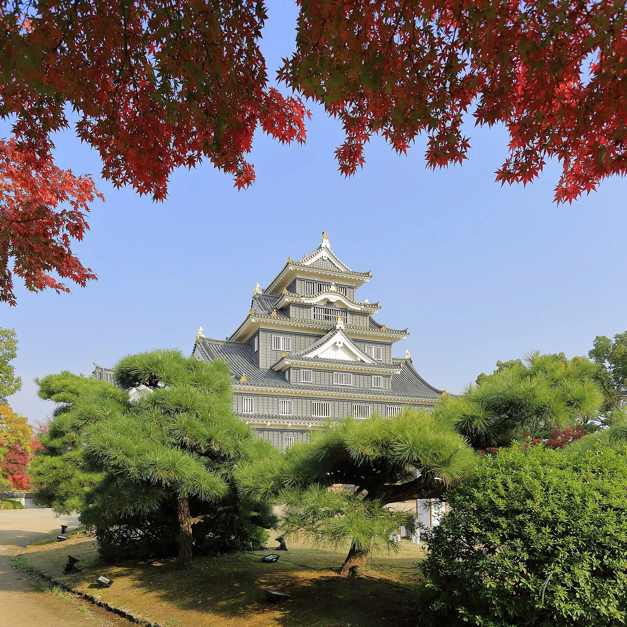
- Population
- 1,906,464
- 1.9M
- Elevation
- 286 m
- above sea level
- Local time
- UTC+09:00
- Asia/Tokyo · UTC+09:00
- Places inside
- 30
- listed under Okayama
- Airports
- OKJ Okayama Momotaro Airport17 km
- TTJ Tottori Sand Dunes Conan Airport77 km
About Okayama
Okayama is a region. Location: Japan. Population: 1,906,464.
Okayama Prefecture (岡山県, Okayama-ken; Japanese pronunciation: [ò̞.kä́.jä̀.mä̀, -jä́.mä́.kè̞ɴ̀]) is a prefecture of Japan located in the Chūgoku region of Honshu. Okayama Prefecture has a population of 1,815,165 (1 October 2025) and has a geographic area of 7,114 km2 (2,746 sq mi). Okayama Prefecture borders Tottori Prefecture to the north, Hyōgo Prefecture to the east, and Hiroshima Prefecture to the west.
Read more on Wikipedia Text: Wikipedia contributors · CC BY-SA 4.0 · shortened
Places bordering Okayama
- Hiroshima
- Tottori
- Hyōgo
- Kagawa
Climate of Okayama
Best months for sightseeingBest months for sightseeing: May–June, September–October.
Bars: average monthly low and high temperature. Below: precipitation. Monthly averages for 1970–2000 at about 18 km resolution, adjusted for elevation. Highlighted months are mild and relatively dry. Source: WorldClim 2.1 (CC BY 4.0).
Show values as a table
| Month | Jan | Feb | Mar | Apr | May | Jun | Jul | Aug | Sep | Oct | Nov | Dec |
|---|---|---|---|---|---|---|---|---|---|---|---|---|
| Average high (°C) | 6° | 7° | 11° | 17° | 21° | 25° | 29° | 30° | 25° | 20° | 14° | 9° |
| Average low (°C) | -2° | -2° | 1° | 6° | 11° | 16° | 21° | 22° | 17° | 11° | 5° | 0° |
| Precipitation (mm) | 50 | 66 | 96 | 139 | 150 | 229 | 240 | 139 | 213 | 106 | 69 | 43 |
Other places to visit in this season: May June September October
Airports nearest to Okayama
- Okayama Momotaro Airport (OKJ) Okayama 17 km
- Tottori Sand Dunes Conan Airport (TTJ) Tottori 77 km
- Takamatsu Airport (TAK) Takamatsu 79 km
Straight-line distance; airports with scheduled flights only. Source: OurAirports (public domain).
Places in Okayama
30 places- 1 Okayama Shi 720K
- 2 Kurashiki Shi 483.3K
- 3 Tsuyama Shi 105.6K
- 4 Sōja Shi 67.8K
- 5 Tamano Shi 63.6K
- 6 Kasaoka Shi 52.5K
- 7 Maniwa Shi 49.2K
- 8 Akaiwa Shi 45K
- 9 Ibara Shi 43.4K
- 10 Setouchi Shi 38.8K
- 11 Bizen Shi 37.5K
- 12 Asakuchi Shi 36.1K
- 13 Takahashi Shi 33.6K
- 14 Niimi Shi 32.5K
- 15 Mimasaka-shi 30.4K
Bar: population relative to the most populous place in this list.
-
Aida-gun District
-
Asakuchi-gun District
-
Inujima Island
-
Kaga-gun District
-
Katsuta-gun District
-
Kume-gun District
-
Maniwa-gun District
-
Oda-gun District
-
Shiraishi Island Island
-
Takahashi River River
-
Tomata-gun District
-
Tsukubo-gun District
-
Wake-gun District
-
Yoshii River River
-
Yoshino River River
Largest cities and towns
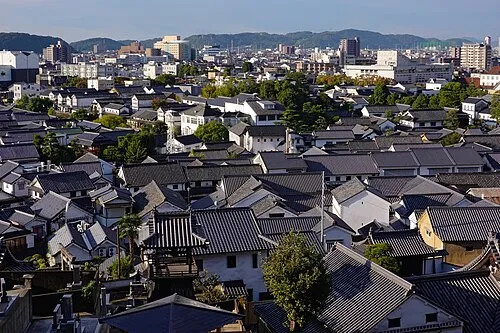
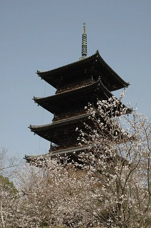
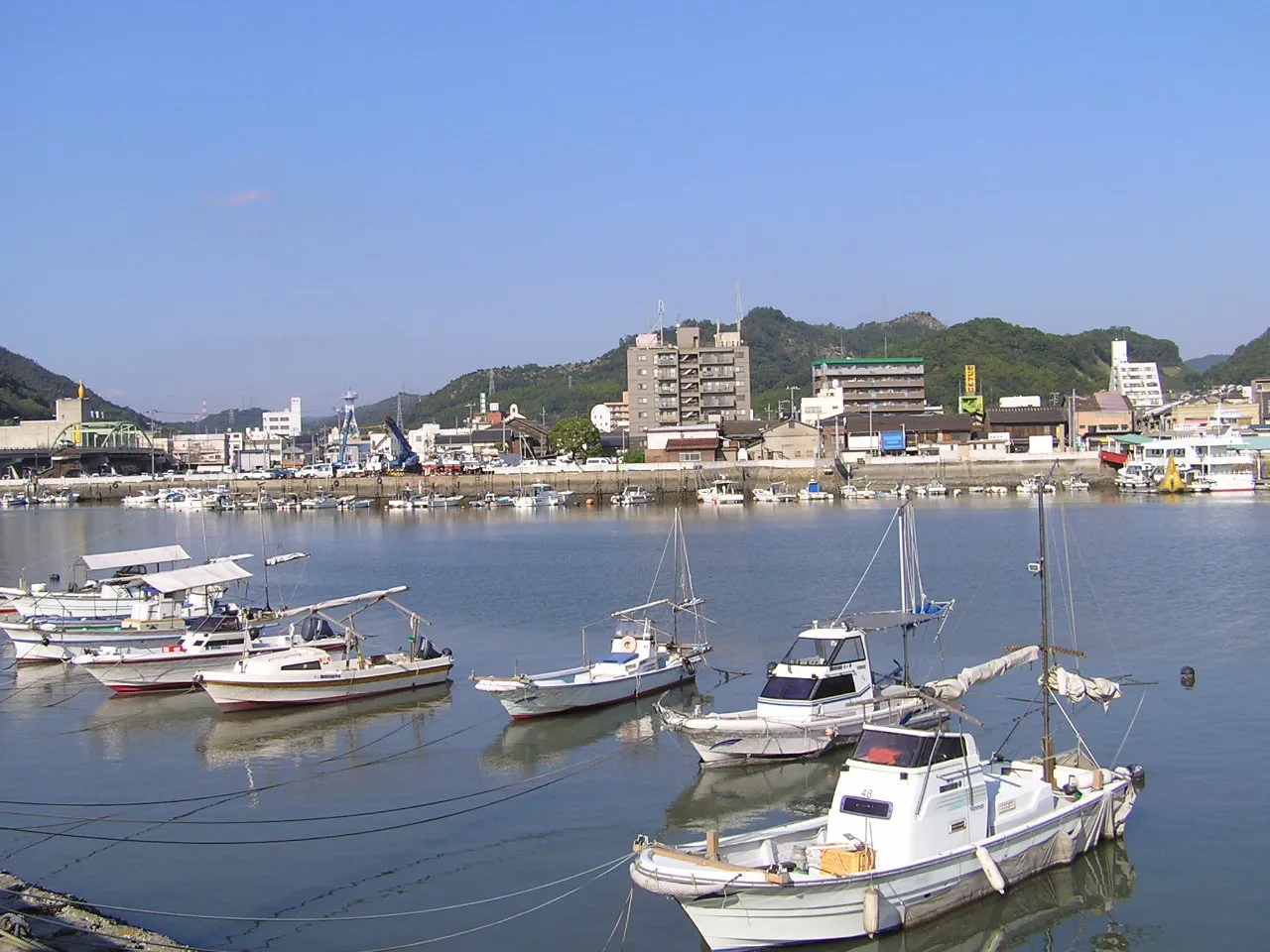
Nature and heritage in Okayama
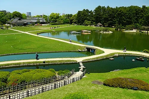
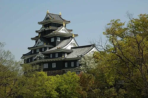

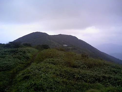
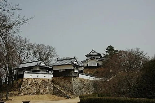
Other regions in Japan
-
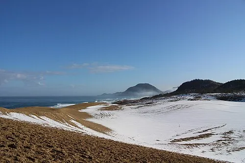 Tottori Region, Japan55 km N
-
Fukuyama Shi District, Hiroshima60 km SW
-
Kagawa District, Kagawa52 km S
-
Akō Shi District, Hyōgo53 km E
Sources & licences
Data last updated: · 2 independent sources