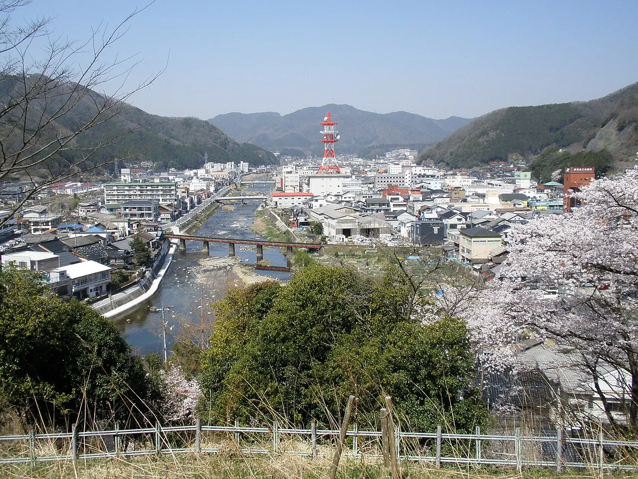
- Population
- 32,529
- 32.5K
- Elevation
- 524 m
- above sea level
- Local time
- UTC+09:00
- Asia/Tokyo · UTC+09:00
- Places inside
- 1
- listed under Niimi Shi
- Airports
- OKJ Okayama Momotaro Airport47 km
- YGJ Yonago Kitaro Airport / JASDF Miho Air Base56 km
About Niimi Shi
Niimi Shi is a district. Location: Okayama, Japan. Population: 32,529.
Niimi (新見市, Niimi-shi) is a city located in northwestern Okayama Prefecture, Japan. As of 28 February 2023, the city had an estimated population of 27,106 in 12,626 households. and a population density of 34 persons per km2. The total area of the city is 793.29 square kilometres (306.29 sq mi)
Source: Wikipedia · CC BY-SA 4.0
Places bordering Niimi Shi
- Shōbara
- Hino Chō
- Nichinan Chō
- Maniwa Shi
- Takahashi
- Shinjō Son
Population of Niimi Shi over time
| 2010 | 33,870 | |
|---|---|---|
| 2015 | 30,658 | |
| 2021 | 27,526 |
Censuses and official estimates; source: Wikidata.
Climate of Niimi Shi
Best months for sightseeingBest months for sightseeing: May–June, September–October.
This month · November
Outside the best season
Day 13° · Night 4° · Rain 82 mm
Better nearby cities in November
- Kochi · 163 km south18°
- Ōita · 261 km southwest18°
- Beppu · 264 km southwest17°
- Hottest month
- August (day 28°)
- Coldest month
- February (night -3°)
- Wettest month
- July (262 mm)
- Driest month
- December (71 mm)
Bars: average monthly low and high temperature. Below: precipitation. Monthly averages for 1970–2000 at about 18 km resolution, adjusted for elevation. Highlighted months are mild and relatively dry. Source: WorldClim 2.1 (CC BY 4.0).
Show values as a table
| Month | Jan | Feb | Mar | Apr | May | Jun | Jul | Aug | Sep | Oct | Nov | Dec |
|---|---|---|---|---|---|---|---|---|---|---|---|---|
| Average high (°C) | 4° | 5° | 9° | 15° | 20° | 23° | 27° | 28° | 24° | 18° | 13° | 8° |
| Average low (°C) | -3° | -3° | 0° | 6° | 11° | 15° | 20° | 21° | 16° | 10° | 4° | 0° |
| Precipitation (mm) | 81 | 89 | 108 | 139 | 150 | 238 | 262 | 164 | 215 | 116 | 82 | 71 |
Other places to visit in this season: May June September October
How to get to Niimi Shi
The nearest airport is Okayama Momotaro Airport (OKJ), 47 km to the southeast as the crow flies. The nearest large city is Yonago, 48 km to the north.
Airports
- Okayama Momotaro Airport (OKJ) Okayama 47 kmsoutheast
- Yonago Kitaro Airport / JASDF Miho Air Base (YGJ) Yonago 56 kmnorth
- Izumo Enmusubi Airport (IZO) Izumo 67 kmnorthwest
Nearby large cities
- Yonago Population: 148.7K 48 kmnorth
- Tsuyama Population: 102.3K 50 kmeast
- Kurashiki Population: 483.6K 56 kmsoutheast
- Fukuyama Population: 468.8K 60 kmsouth
- Matsue Population: 203.6K 63 kmnorthwest
Straight-line distances; road distances are longer. Airport data: OurAirports.
Places in Niimi Shi
1 place
Niimi
Population: 30.6K
Nearby attractions & nature
Everything nearby-
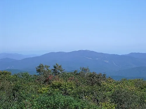 Mount Dōgo Mountain, Shobara20 km W
-
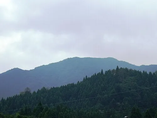 Mount Hōbutsu Mountain, Kōfu Chō24 km N
Sources & licences
Data last updated: · 2 independent sources