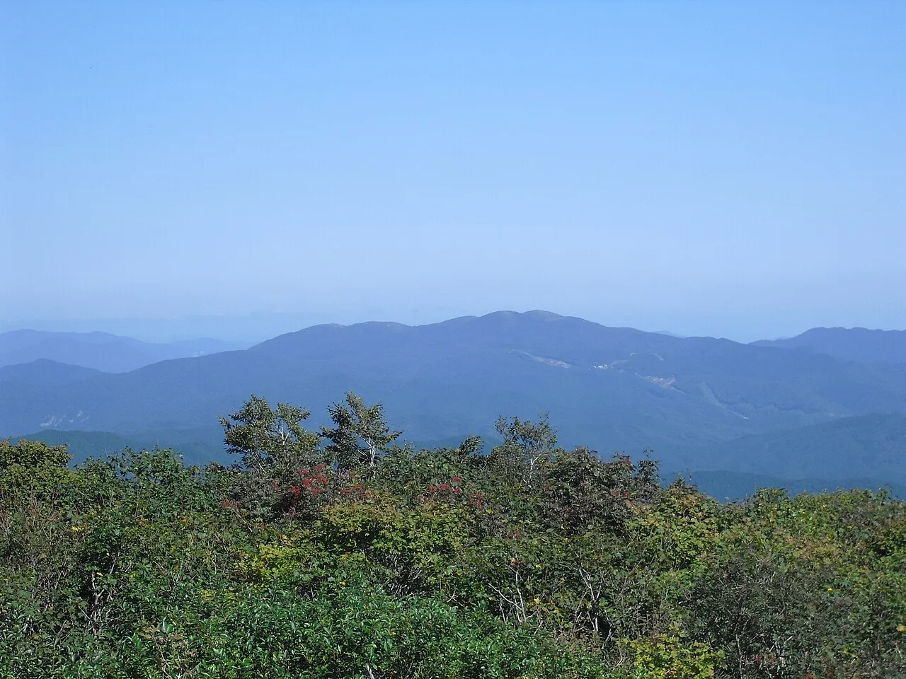
- Elevation
- 1,268 m
- above sea level
- Local time
- UTC+09:00
- Asia/Tokyo · UTC+09:00
- Airports
- YGJ Yonago Kitaro Airport / JASDF Miho Air Base47 km
- IZO Izumo Enmusubi Airport49 km
About Mount Dōgo
Mount Dōgo is a mountain. Location: Shobara, Hiroshima. Elevation: 1,268 m.
Mount Dōgo (道後山, Dōgo-yama), is a volcanic mountain located on the border of Nichinan, Tottori Prefecture and Shōbara, Hiroshima Prefecture. The mountain has an elevation of 1,268 m (4,160 ft). The name of Mount Dōgo in Japanese is formed from two kanji. The first, 道, means "road" and the second, 後, in this context means "behind" or "to the rear". Due to its scenery mountain is known as the "Queen of the Chūgoku Mountains."
Read more on Wikipedia Text: Wikipedia contributors · CC BY-SA 4.0 · shortened
Climate of Mount Dōgo
Best months for sightseeingBest months for sightseeing: July–September.
Bars: average monthly low and high temperature. Below: precipitation. Monthly averages for 1970–2000 at about 18 km resolution, adjusted for elevation. Highlighted months are mild and relatively dry. Source: WorldClim 2.1 (CC BY 4.0).
Show values as a table
| Month | Jan | Feb | Mar | Apr | May | Jun | Jul | Aug | Sep | Oct | Nov | Dec |
|---|---|---|---|---|---|---|---|---|---|---|---|---|
| Average high (°C) | -1° | 0° | 4° | 11° | 16° | 19° | 22° | 24° | 19° | 14° | 8° | 3° |
| Average low (°C) | -7° | -7° | -4° | 1° | 6° | 11° | 16° | 16° | 12° | 5° | 0° | -5° |
| Precipitation (mm) | 89 | 93 | 112 | 142 | 151 | 246 | 275 | 171 | 217 | 120 | 85 | 77 |
Airports nearest to Mount Dōgo
- Yonago Kitaro Airport / JASDF Miho Air Base (YGJ) Yonago 47 km
- Izumo Enmusubi Airport (IZO) Izumo 49 km
- Okayama Momotaro Airport (OKJ) Okayama 66 km
Straight-line distance; airports with scheduled flights only. Source: OurAirports (public domain).
Nearest towns and villages
-
Nichinan Chō Municipality, Hino Gun10 km N
-
Saijō Village, Shobara19 km SW
-
Okuizumo Chō Municipality, Nita Gun21 km NW
-
Hino Chō Municipality, Hino Gun23 km NE
-
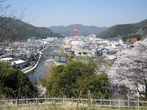 Niimi City, Niimi Shi23 km SE
-
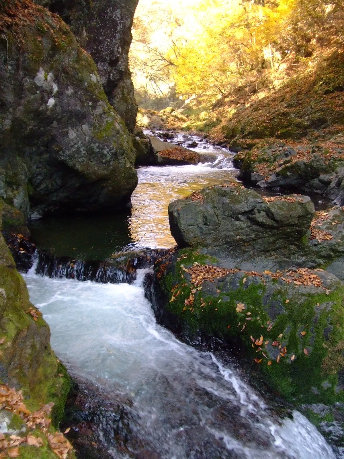 Shōbara City, Shobara32 km SW
Nearby attractions & nature
Everything nearby-
Mount Sentsū Mountain, Shimane11 km NW
-
Mount Hiba Mountain, Shobara16 km W
Sources & licences
Data last updated: · 2 independent sources