- Elevation
- 1,299 m
- above sea level
- Local time
- UTC+09:00
- Asia/Tokyo · UTC+09:00
- Airports
- IZO Izumo Enmusubi Airport43 km
- YGJ Yonago Kitaro Airport / JASDF Miho Air Base52 km
About Mount Hiba
Mount Hiba is a mountain. Location: Shobara, Hiroshima. Elevation: 1,299 m. The best months to visit are July–August. The nearest airport is Izumo Enmusubi Airport (43 km). Nearby sights include Mount Dōgo and Mount Sentsū.
Climate of Mount Hiba
Best months for sightseeingBest months for sightseeing: July–August.
This month · November
A cold month
Day 8° · Night 0° · Rain 87 mm
Better nearby cities in November
- Kochi · 172 km south18°
- Ōita · 242 km southwest18°
- Beppu · 244 km southwest17°
- Hottest month
- August (day 23°)
- Coldest month
- February (night -7°)
- Wettest month
- July (277 mm)
- Driest month
- December (83 mm)
Bars: average monthly low and high temperature. Below: precipitation. Monthly averages for 1970–2000 at about 18 km resolution, adjusted for elevation. Highlighted months are mild and relatively dry. Source: WorldClim 2.1 (CC BY 4.0).
Show values as a table
| Month | Jan | Feb | Mar | Apr | May | Jun | Jul | Aug | Sep | Oct | Nov | Dec |
|---|---|---|---|---|---|---|---|---|---|---|---|---|
| Average high (°C) | -1° | 0° | 4° | 11° | 15° | 18° | 22° | 23° | 19° | 14° | 8° | 3° |
| Average low (°C) | -7° | -7° | -4° | 1° | 6° | 11° | 16° | 16° | 12° | 5° | 0° | -5° |
| Precipitation (mm) | 96 | 96 | 114 | 141 | 149 | 248 | 277 | 170 | 216 | 121 | 87 | 83 |
How to get to Mount Hiba
The nearest airport is Izumo Enmusubi Airport (IZO), 43 km to the north as the crow flies. For international flights: Hiroshima Airport (HIJ) (69 km). The nearest large city is Izumo, 44 km to the northwest.
Airports
- Izumo Enmusubi Airport (IZO) Izumo 43 kmnorth
- Yonago Kitaro Airport / JASDF Miho Air Base (YGJ) Yonago 52 kmnorth
- Hiroshima Airport (HIJ) Hiroshima 69 kmsouth
Nearby large cities
- Izumo Population: 172.8K 44 kmnorthwest
- Matsue Population: 203.6K 48 kmnorth
- Yonago Population: 148.7K 49 kmnortheast
- Fukuyama Population: 468.8K 69 kmsoutheast
- Onomichi Population: 131.2K 71 kmsouth
Straight-line distances; road distances are longer. Airport data: OurAirports.
Nearest towns and villages
-
Okuizumo Chō Municipality, Nita Gun13 km N
-
Saijō Village, Shobara14 km S
-
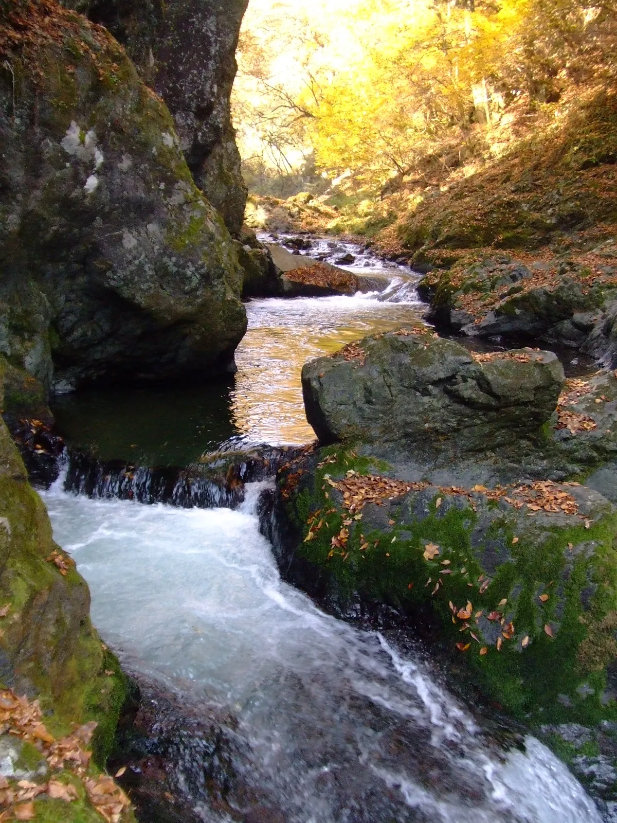 Shōbara City, Shobara22 km S
-
Nichinan Chō Municipality, Hino Gun22 km NE
-
Unnan City, Unnan Shi26 km NW
-
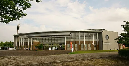 Miyoshi City, Miyoshi Shi34 km SW
Nearby attractions & nature
Everything nearby-
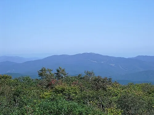 Mount Dōgo Mountain, Shobara16 km E
-
Mount Sentsū Mountain, Shimane16 km NE
Sources & licences
Data last updated: · 2 independent sources