- Elevation
- 839 m
- above sea level
- Local time
- UTC+09:00
- Asia/Tokyo · UTC+09:00
- Airports
- HIJ Hiroshima Airport32 km
- IWK Iwakuni Kintaikyo Airport39 km
About Mount Noro
Mount Noro is a mountain. Location: Kure, Hiroshima. Elevation: 839 m.
Mount Noro (野呂山, Noro-san) is a mountain around Hiroshima, Japan. It is part of the Setonaikai National Park. Mount Misen is famous for mountain climbing, trekking, camping and sakura, camellia, hydrangea, autumn leaves and maples and sunset view. There are historical shrines and temples include Noro Shrine (野呂神社, Noro-jinja) and Kōbō Temple (弘法寺, Kōbō-ji).
Read more on Wikipedia Text: Wikipedia contributors · CC BY-SA 4.0 · shortened
At a glance
- Topographic prominence
- 839 m
Source: Wikidata
Climate of Mount Noro
Best months for sightseeingBest months for sightseeing: June–September.
Bars: average monthly low and high temperature. Below: precipitation. Monthly averages for 1970–2000 at about 18 km resolution, adjusted for elevation. Highlighted months are mild and relatively dry. Source: WorldClim 2.1 (CC BY 4.0).
Show values as a table
| Month | Jan | Feb | Mar | Apr | May | Jun | Jul | Aug | Sep | Oct | Nov | Dec |
|---|---|---|---|---|---|---|---|---|---|---|---|---|
| Average high (°C) | 4° | 5° | 8° | 14° | 18° | 21° | 25° | 26° | 22° | 17° | 12° | 7° |
| Average low (°C) | -3° | -3° | -1° | 5° | 9° | 14° | 18° | 19° | 15° | 9° | 4° | -1° |
| Precipitation (mm) | 55 | 76 | 120 | 167 | 176 | 293 | 244 | 179 | 222 | 127 | 82 | 45 |
Other places to visit in this season: June July August September
Airports nearest to Mount Noro
- Hiroshima Airport (HIJ) Hiroshima 32 km
- Iwakuni Kintaikyo Airport (IWK) Iwakuni 39 km
- Matsuyama Airport (MYJ) Matsuyama 48 km
Straight-line distance; airports with scheduled flights only. Source: OurAirports (public domain).
Nearest towns and villages
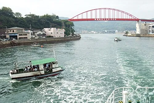
Nearby attractions & nature
Everything nearby-
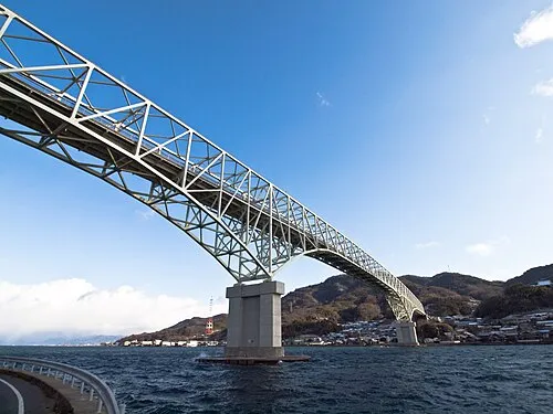 Kurahashi Jima Island, Hiroshima18 km SW
-
 Nino Shima Island, Hiroshima21 km W
-
 Okamura Jima Island, Imabari22 km E
-
Kurahashi-jima Island, Japan19 km SW
-
 Carp castle Historic site, Naka-ku24 km NW
Sources & licences
Data last updated: · 2 independent sources