Ōhori Park
Local name: 大濠公園
Located in Chūō-ku, Fukuoka City Coordinates: 33°35′10″ N 130°22′35″ E
- Elevation
- 2 m
- above sea level
- Local time
- UTC+09:00
- Asia/Tokyo · UTC+09:00
- Airports
- FUK Fukuoka Airport7 km
- HSG Kyushu Saga International Airport49 km
About Ōhori Park
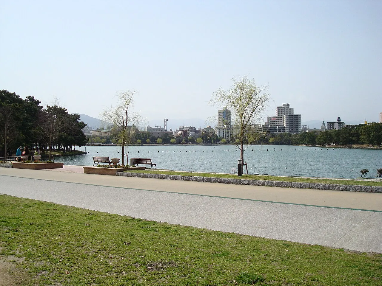
Ōhori Park is a natural site. Location: Chūō-ku, Fukuoka City.
Ōhori Park (大濠公園, Ōhori-kōen) is a park in Chūō-ku, Fukuoka, Japan and a registered Place of Scenic Beauty.
Source: Wikipedia · CC BY-SA 4.0
At a glance
- Built
- 1929
- Opened
- 1929
- Heritage designation
- Registered Monument of Japan
- Area
- 40 ha
- Official website
- ohorikouen.jp
Source: Wikidata
Photos of Ōhori Park
-

Thomas Woodtli from Zürich, Switzerland · CC BY-SA 2.0 -

そらみみ · CC BY-SA 4.0 -

そらみみ · CC BY-SA 4.0 -

Hirho · CC BY-SA 4.0 -

Tzuhsun Hsu from Taipei, Taiwan · CC BY-SA 2.0


Climate of Ōhori Park
Best months for sightseeingBest months for sightseeing: May, October.
This month · November
Outside the best season
Day 17° · Night 9° · Rain 77 mm
Better nearby cities in November
- Beppu · 109 km east17°
- Ōita · 120 km east18°
- Nobeoka · 164 km southeast18°
- Hottest month
- August (day 31°)
- Coldest month
- January (night 2°)
- Wettest month
- June (288 mm)
- Driest month
- December (59 mm)
Bars: average monthly low and high temperature. Below: precipitation. Monthly averages for 1970–2000 at about 18 km resolution, adjusted for elevation. Highlighted months are mild and relatively dry. Source: WorldClim 2.1 (CC BY 4.0).
Show values as a table
| Month | Jan | Feb | Mar | Apr | May | Jun | Jul | Aug | Sep | Oct | Nov | Dec |
|---|---|---|---|---|---|---|---|---|---|---|---|---|
| Average high (°C) | 9° | 10° | 14° | 19° | 23° | 26° | 30° | 31° | 27° | 23° | 17° | 12° |
| Average low (°C) | 2° | 3° | 6° | 10° | 15° | 19° | 24° | 24° | 20° | 14° | 9° | 4° |
| Precipitation (mm) | 71 | 75 | 108 | 140 | 150 | 288 | 283 | 175 | 191 | 91 | 77 | 59 |
How to get to Ōhori Park
The nearest airport is Fukuoka Airport (FUK), 7 km to the east as the crow flies. The nearest large city is Kasuga, 10 km to the southeast.
Airports
- Fukuoka Airport (FUK) Fukuoka 7 kmeast
- Kyushu Saga International Airport (HSG) Saga 49 kmsouth
- Iki Airport (IKI) Iki 58 kmwest
Nearby large cities
- Kasuga Population: 111K 10 kmsoutheast
- Ōnojō Population: 102.1K 11 kmsoutheast
- Chikushino-shi Population: 103.3K 16 kmsoutheast
- Iizuka Population: 126.4K 29 kmeast
- Kurume Population: 303.6K 33 kmsoutheast
Straight-line distances; road distances are longer. Airport data: OurAirports.
Day trips from Ōhori Park
Within 100 km: 20 historic and cultural sites, 16 natural sites, 13 lakes, rivers and coasts.
0–25 km19 places
- Kyūshū Kokuritsu Hakubutsukan Museum 17 kmSE
- Shika Island Island 12 kmNW
- Mt. Abura Mountain 8 kmS
- Shōfū-en Natural site 2 kmSE
25–60 km8 places
- Chikugo River River 49 kmS
- Wakato Ōhashi Landmark 54 kmNE
- Mount Sarakura Mountain 48 kmNE
- Space World Natural site 51 kmNE
60–100 km22 places
- Iki Island Island 65 kmW
- Hiko Shima Island 63 kmNE
- Hario Jima Island 77 kmSW
- Okino-shima Island 77 kmN
Straight-line distances.
Nearest towns and villages
-
 Jōnan-ku Municipality, Fukuoka City4.2 km S
-
 Nakasu Neighbourhood, Hakata2.9 km E
-
 Hakata Municipality, Fukuoka City6.3 km E
-
 Minami Municipality, Fukuoka City5.8 km SE
-
 Higashi Ku Municipality, Fukuoka City8.8 km NE
-
 Shime Machi Municipality, Kasuya-gun9.3 km E
Nearby attractions & nature
Everything nearby-
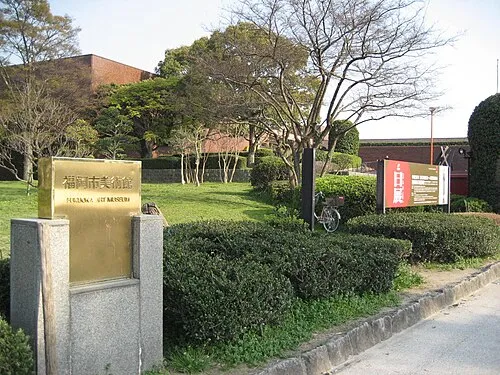 Fukuoka Art Museum Museum, Chūō-ku0.4 km SE
-
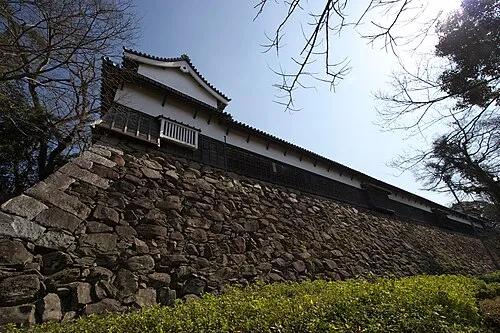 Fukuoka Castle ruins Historic site, Chūō-ku0.6 km E
-
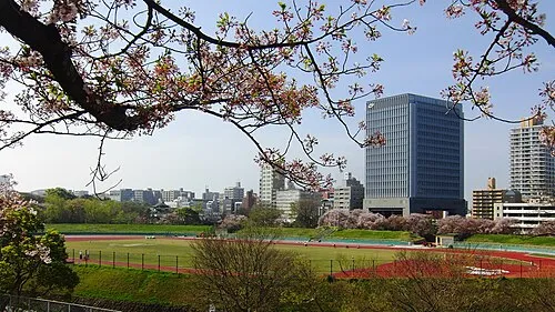 Heiwadai Athletic Stadium Landmark, Chūō-ku0.6 km E
-
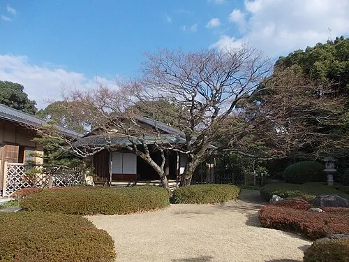 Shōfū-en Natural site, Chūō-ku2.3 km SE
-
 FUKUOKA PayPay Dome Landmark, Chūō-ku1.7 km NW
-
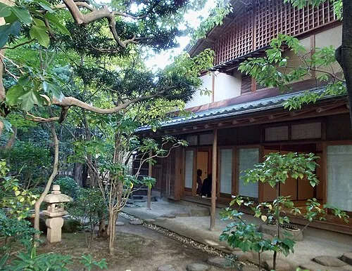 Rakusui-en Natural site, Hakata3.4 km E
-
 Our Lady of Victory Cathedral, Fukuoka Attraction, Chūō-ku1.8 km E
-
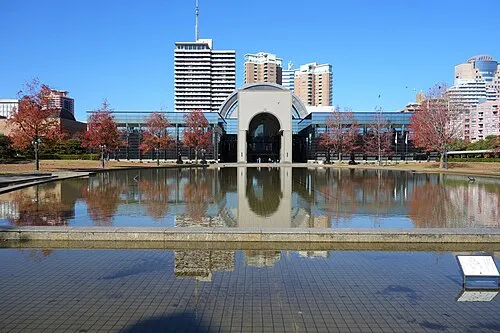 Fukuoka City Museum Museum, Sawara2.2 km W
Sources & licences
Data last updated: · 2 independent sources