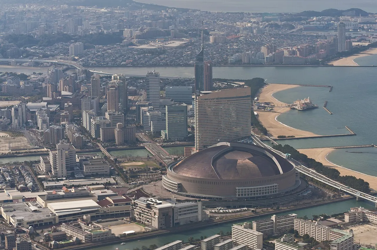
- Population
- 5,109,323
- 5.1M
- Elevation
- 212 m
- above sea level
- Local time
- UTC+09:00
- Asia/Tokyo · UTC+09:00
- Places inside
- 42
- listed under Fukuoka
- Airports
- FUK Fukuoka Airport21 km
- KKJ Kitakyushu Airport49 km
About Fukuoka
Fukuoka is a region. Location: Japan. Population: 5,109,323.
Fukuoka Prefecture (福岡県, Fukuoka-ken; Japanese pronunciation: [ɸɯ̥̈.kɯ̈́.ò̞.kä̀, -ó̞.kä́.kè̞ɴ̀]) is a prefecture of Japan located on the island of Kyūshū. Fukuoka Prefecture has a population of 5,081,879 (1 October 2025) and has a geographic area of 4,986 square kilometres (1,925 sq mi). Fukuoka Prefecture borders Saga Prefecture to the southwest, Kumamoto Prefecture to the south, and Ōita Prefecture to the southeast.
Read more on Wikipedia Text: Wikipedia contributors · CC BY-SA 4.0 · shortened
Places bordering Fukuoka
Twin towns and sister cities of Fukuoka
- Hawaii· United States
- Bangkok· Thailand
Source: Wikidata. Only places with a page on this site are shown.
Climate of Fukuoka
Best months for sightseeingBest months for sightseeing: May–June, September–October.
Bars: average monthly low and high temperature. Below: precipitation. Monthly averages for 1970–2000 at about 18 km resolution, adjusted for elevation. Highlighted months are mild and relatively dry. Source: WorldClim 2.1 (CC BY 4.0).
Show values as a table
| Month | Jan | Feb | Mar | Apr | May | Jun | Jul | Aug | Sep | Oct | Nov | Dec |
|---|---|---|---|---|---|---|---|---|---|---|---|---|
| Average high (°C) | 8° | 8° | 12° | 17° | 22° | 25° | 28° | 29° | 26° | 21° | 16° | 10° |
| Average low (°C) | 1° | 1° | 4° | 9° | 13° | 18° | 22° | 22° | 19° | 13° | 7° | 3° |
| Precipitation (mm) | 77 | 85 | 119 | 157 | 170 | 317 | 335 | 179 | 198 | 99 | 78 | 62 |
Other places to visit in this season: May June September October
Airports nearest to Fukuoka
- Fukuoka Airport (FUK) Fukuoka 21 km
- Kitakyushu Airport (KKJ) Kitakyushu 49 km
- Kyushu Saga International Airport (HSG) Saga 54 km
Straight-line distance; airports with scheduled flights only. Source: OurAirports (public domain).
Places in Fukuoka
42 places- 1 Fukuoka City 1.6M
- 2 Kitakyushu City 976.8K
- 3 Kurume Shi 305.7K
- 4 Iizuka Shi 131.5K
- 5 Ōmuta Shi 122.3K
- 6 Kasuga Shi 111.7K
- 7 Chikushino-shi 102.2K
- 8 Itoshima-shi 100.4K
- 9 Ōnojō Shi 98.8K
- 10 Munakata-shi 96.6K
- 11 Yukuhashi Shi 72.8K
- 12 Dazaifu-shi 71.2K
- 13 Yanagawa Shi 70.3K
- 14 Yame Shi 68K
- 15 Ogōri-shi 59.6K
- 16 Koga-shi 58.6K
- 17 Nōgata Shi 58.3K
- 18 Fukutsu Shi 58K
- 19 Asakura Shi 56.8K
- 20 Nakagawa 50.3K
- 21 Tagawa Shi 50.1K
- 22 Chikugo Shi 49.1K
- 23 Nakama Shi 44.3K
- 24 Kama Shi 42K
- 25 Miyama Shi 40.2K
- 26 Ōkawa-shi 36.8K
- 27 Ukiha Shi 31.8K
- 28 Miyawaka Shi 29.7K
- 29 Buzen-shi 27.2K
- 30 Onga-gun 19.2K
- 31 Okino-shima 1
Bar: population relative to the most populous place in this list.
-
Asakura-gun District
-
Chikujō-gun District
-
Kaho-gun District
-
Kasuya-gun District
-
Kuraten-gun District
-
Mii-gun District
-
Miyako-gun District
-
Mizuma-gun District
-
Tagawa-gun District
-
Wakato Ōhashi Landmark
-
Yame-gun District
Largest cities and towns
-
Hakata Municipality, Fukuoka City245.4K
-
Chūō-ku Municipality, Fukuoka City204.6K
-
Higashi Ku Municipality, Fukuoka City321.7K
-
Minami Municipality, Fukuoka City265.1K
-
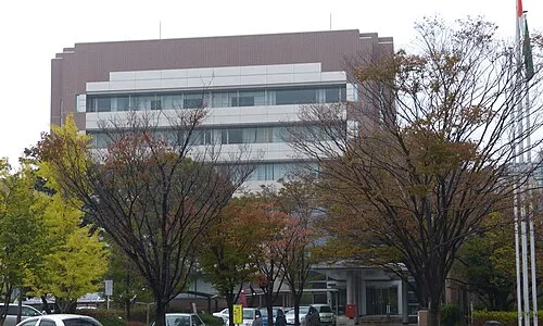 Kasuga City, Kasuga Shi111K
-
Kokura-kita Ku Municipality, Kitakyushu City182.6K
-
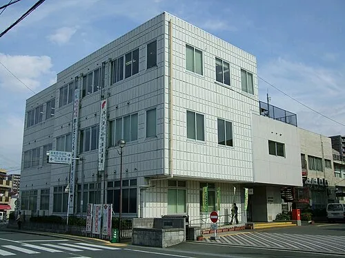 Chikushino-shi City, Chikushino-shi103.3K
-
Jōnan-ku Municipality, Fukuoka City133.1K
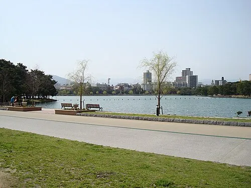
Nature and heritage in Fukuoka
Sources & licences
Data last updated: · 2 independent sources