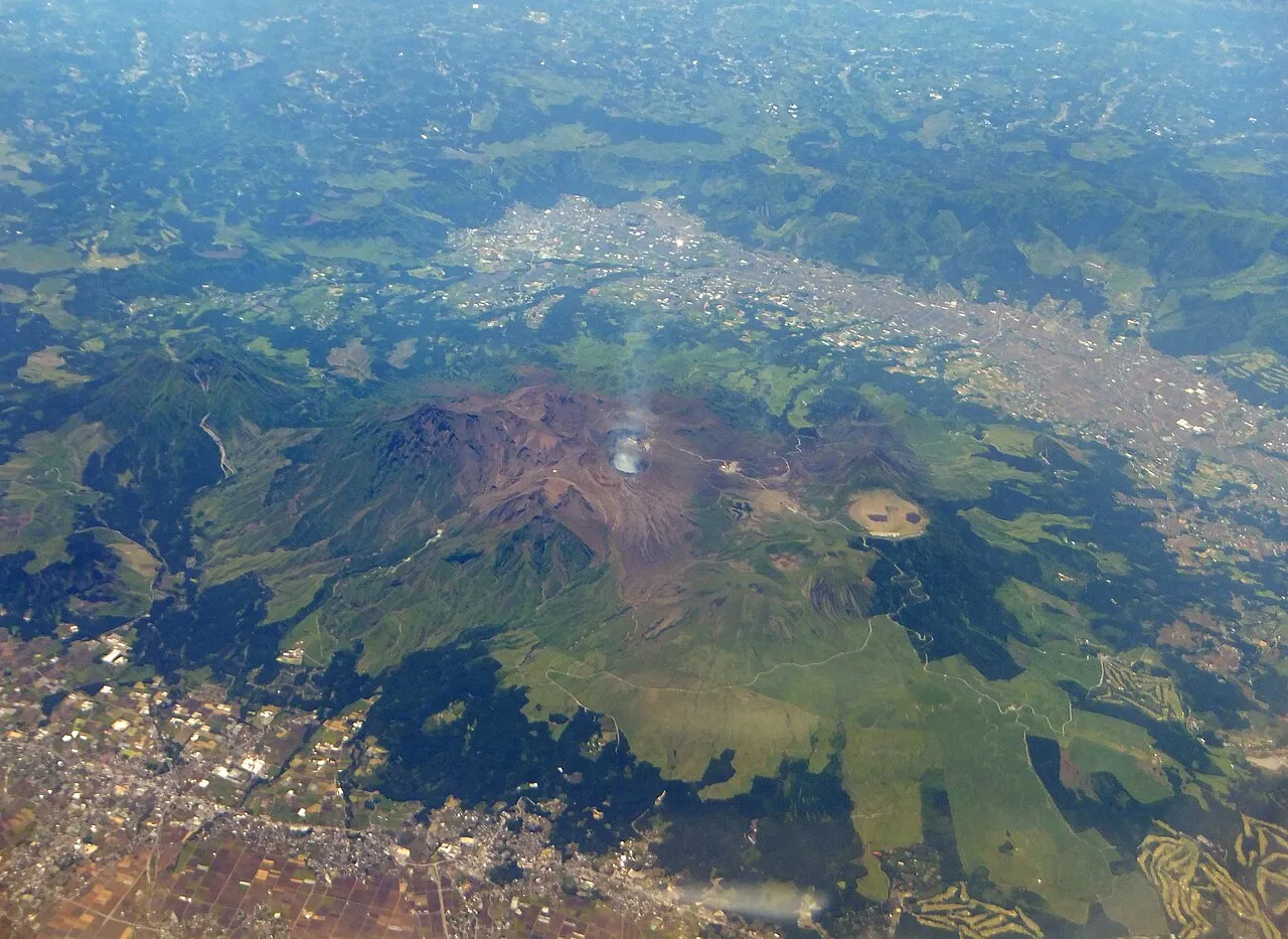
- Population
- 1,748,134
- 1.7M
- Elevation
- 79 m
- above sea level
- Local time
- UTC+09:00
- Asia/Tokyo · UTC+09:00
- Places inside
- 33
- listed under Kumamoto
- Airports
- KMJ Kumamoto Airport26 km
- AXJ Amakusa Airport57 km
About Kumamoto
Kumamoto is a region. Location: Japan. Population: 1,748,134.
Kumamoto Prefecture (熊本県, Kumamoto-ken; Japanese pronunciation: [kɯ̈̀.mä́.mó̞.tó̞(.kè̞ɴ̀)]) is a prefecture of Japan located on the island of Kyūshū. Kumamoto Prefecture has a population of 1,683,115 (as of 1 October 2025) and has a geographic area of 7,409 square kilometres (2,861 sq mi). Kumamoto Prefecture borders Fukuoka Prefecture to the north, Ōita Prefecture to the northeast, Miyazaki Prefecture to the southeast, and Kagoshima Prefecture to the south.
Read more on Wikipedia Text: Wikipedia contributors · CC BY-SA 4.0 · shortened
Places bordering Kumamoto
Twin towns and sister cities of Kumamoto
- Montana· United States
Source: Wikidata. Only places with a page on this site are shown.
Climate of Kumamoto
Best months for sightseeingBest months for sightseeing: May, October.
Bars: average monthly low and high temperature. Below: precipitation. Monthly averages for 1970–2000 at about 18 km resolution, adjusted for elevation. Highlighted months are mild and relatively dry. Source: WorldClim 2.1 (CC BY 4.0).
Show values as a table
| Month | Jan | Feb | Mar | Apr | May | Jun | Jul | Aug | Sep | Oct | Nov | Dec |
|---|---|---|---|---|---|---|---|---|---|---|---|---|
| Average high (°C) | 9° | 10° | 14° | 20° | 23° | 26° | 30° | 31° | 27° | 23° | 17° | 12° |
| Average low (°C) | 1° | 2° | 5° | 10° | 14° | 19° | 23° | 23° | 20° | 14° | 8° | 3° |
| Precipitation (mm) | 71 | 94 | 146 | 187 | 227 | 420 | 420 | 216 | 196 | 107 | 81 | 60 |
Airports nearest to Kumamoto
- Kumamoto Airport (KMJ) Kumamoto 26 km
- Amakusa Airport (AXJ) Amakusa 57 km
- Kyushu Saga International Airport (HSG) Saga 72 km
Straight-line distance; airports with scheduled flights only. Source: OurAirports (public domain).
Places in Kumamoto
33 places- 1 Kyūshū 13.2M
- 2 Kumamoto Shi 740.8K
- 3 Yatsushiro Shi 132.4K
- 4 Amakusa Shi 88.6K
- 5 Shimoshima Island 87.2K
- 6 Tamana Shi 69.3K
- 7 Uki Shi 62K
- 8 Kōshi Shi 58.1K
- 9 Yamaga Shi 55.6K
- 10 Arao Shi 55.3K
- 11 Kikuchi Shi 50.8K
- 12 Uto Shi 38.1K
- 13 Hitoyoshi Shi 34.9K
- 14 Kamiamakusa Shi 30.3K
- 15 Aso-shi 28.2K
- 16 Minamata 26.7K
Bar: population relative to the most populous place in this list.
-
Amakusa District
-
Ashikita-gun District
-
Aso-gun District
-
Hi Kawa River
-
Kamimashiki-gun District
-
Kami Shima Island
-
Kami Shima Island
-
Kikuchi-gun District
-
Kikuchi River River
-
Kuma-gun District
-
Kuma River River
-
Kyūshū Sanchi Mountain
-
Mount Aso Mountain
-
Ōyano Jima Island
-
Shimomashiki-gun District
-
Tamana-gun District
-
Yatsushiro-gun District
Largest cities and towns
-
Chuo-ku Municipality, Kumamoto Shi186.3K
-
Nishi-ku Municipality, Kumamoto Shi93.2K
-
Kita-ku Municipality, Kumamoto Shi143.1K
-
Higashi-ku Municipality, Kumamoto Shi190.5K
-
MInami-ku Municipality, Kumamoto Shi131.4K
-
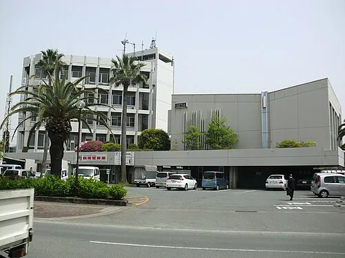 Uto City, Uto Shi37.4K
-
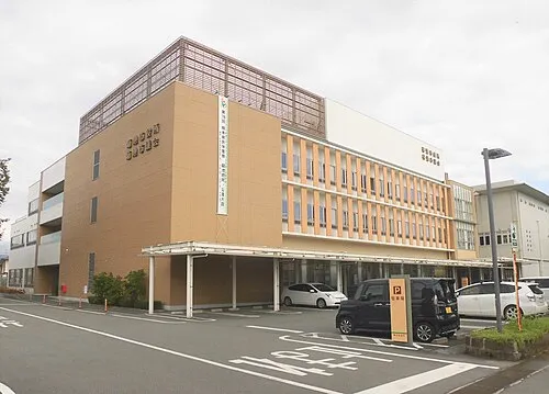 Kikuchi City, Kikuchi Shi49.5K
-
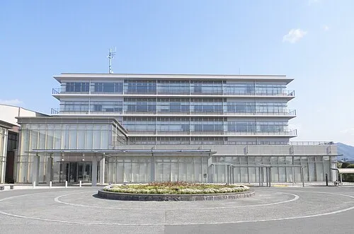 Yamaga City, Yamaga Shi49.1K
Nature and heritage in Kumamoto


Sources & licences
Data last updated: · 2 independent sources