- Population
- 1,136,245
- 1.1M
- Elevation
- 209 m
- above sea level
- Local time
- UTC+09:00
- Asia/Tokyo · UTC+09:00
- Places inside
- 21
- listed under Oita
- Airports
- OIT Oita Airport42 km
- KMJ Kumamoto Airport67 km
About Oita
Oita is a region. Location: Japan. Population: 1,136,245.
Ōita Prefecture (大分県, Ōita-ken; Japanese pronunciation: [ó̞ò̞.ì.tä̀, ò̞ó̞.í.tä́(.kè̞ɴ̀), ó̞ó̞.í.tä́(.kè̞ɴ̀)]) is a prefecture of Japan located on the island of Kyūshū. Ōita Prefecture has a population of 1,081,646 (1 February 2025) and has a geographic area of 6,340 km2 (2,450 sq mi). Ōita Prefecture borders Fukuoka Prefecture to the northwest, Kumamoto Prefecture to the southwest, and Miyazaki Prefecture to the south.
Read more on Wikipedia Text: Wikipedia contributors · CC BY-SA 4.0 · shortened
Places bordering Oita
Climate of Oita
Best months for sightseeingBest months for sightseeing: May–June, September–November.
Bars: average monthly low and high temperature. Below: precipitation. Monthly averages for 1970–2000 at about 18 km resolution, adjusted for elevation. Highlighted months are mild and relatively dry. Source: WorldClim 2.1 (CC BY 4.0).
Show values as a table
| Month | Jan | Feb | Mar | Apr | May | Jun | Jul | Aug | Sep | Oct | Nov | Dec |
|---|---|---|---|---|---|---|---|---|---|---|---|---|
| Average high (°C) | 8° | 9° | 12° | 18° | 22° | 25° | 28° | 29° | 26° | 21° | 16° | 11° |
| Average low (°C) | 0° | 1° | 4° | 9° | 14° | 18° | 22° | 23° | 19° | 13° | 8° | 3° |
| Precipitation (mm) | 60 | 94 | 126 | 178 | 200 | 349 | 381 | 246 | 237 | 128 | 78 | 58 |
Other places to visit in this season: May June September October November
Airports nearest to Oita
- Oita Airport (OIT) Oita 42 km
- Kumamoto Airport (KMJ) Kumamoto 67 km
- Kitakyushu Airport (KKJ) Kitakyushu 81 km
Straight-line distance; airports with scheduled flights only. Source: OurAirports (public domain).
Places in Oita
21 places- 1 Ōita City 478.8K
- 2 Beppu Shi 121.9K
- 3 Nakatsu Shi 85.6K
- 4 Saiki Shi 77.2K
- 5 Hita Shi 70.3K
- 6 Usa Shi 59.5K
- 7 Usuki Shi 41.5K
- 8 Bungo-ōno Shi 39.2K
- 9 Yufu-shi 35.8K
- 10 Kunisaki-shi 32.8K
- 11 Kitsuki Shi 31.2K
- 12 Taketa Shi 24.2K
- 13 Bungo-takada Shi 23.7K
- 14 Tsukumi-shi 19.7K
Bar: population relative to the most populous place in this list.
-
Beppu Wan Natural site
-
Hayami-gun District
-
Higashikunisaki-gun District
-
Hime Shima Island
-
Kusu-gun District
-
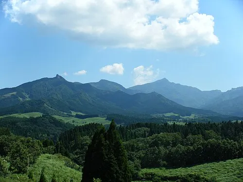
Mount Kujū Mountain
-
Ōno River River
Largest cities and towns
-
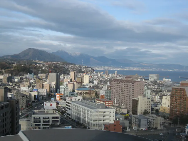 Ōita City, Ōita City477.7K
-
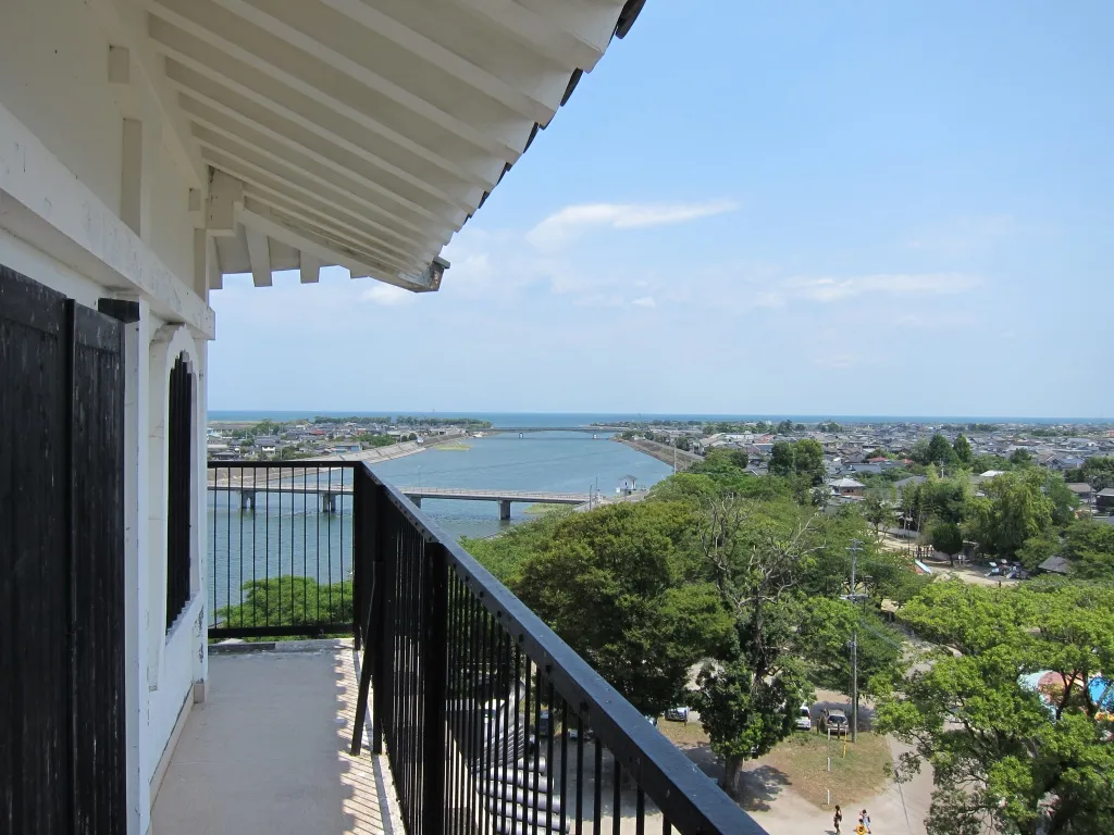 Nakatsu City, Nakatsu Shi84.7K
-
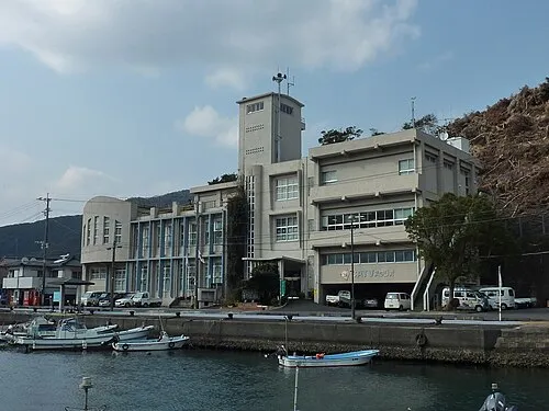 Saiki City, Saiki Shi66.9K
-
 Hita City, Hita Shi64.9K
-
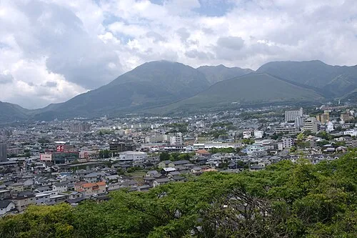 Beppu City, Beppu Shi122.6K
-
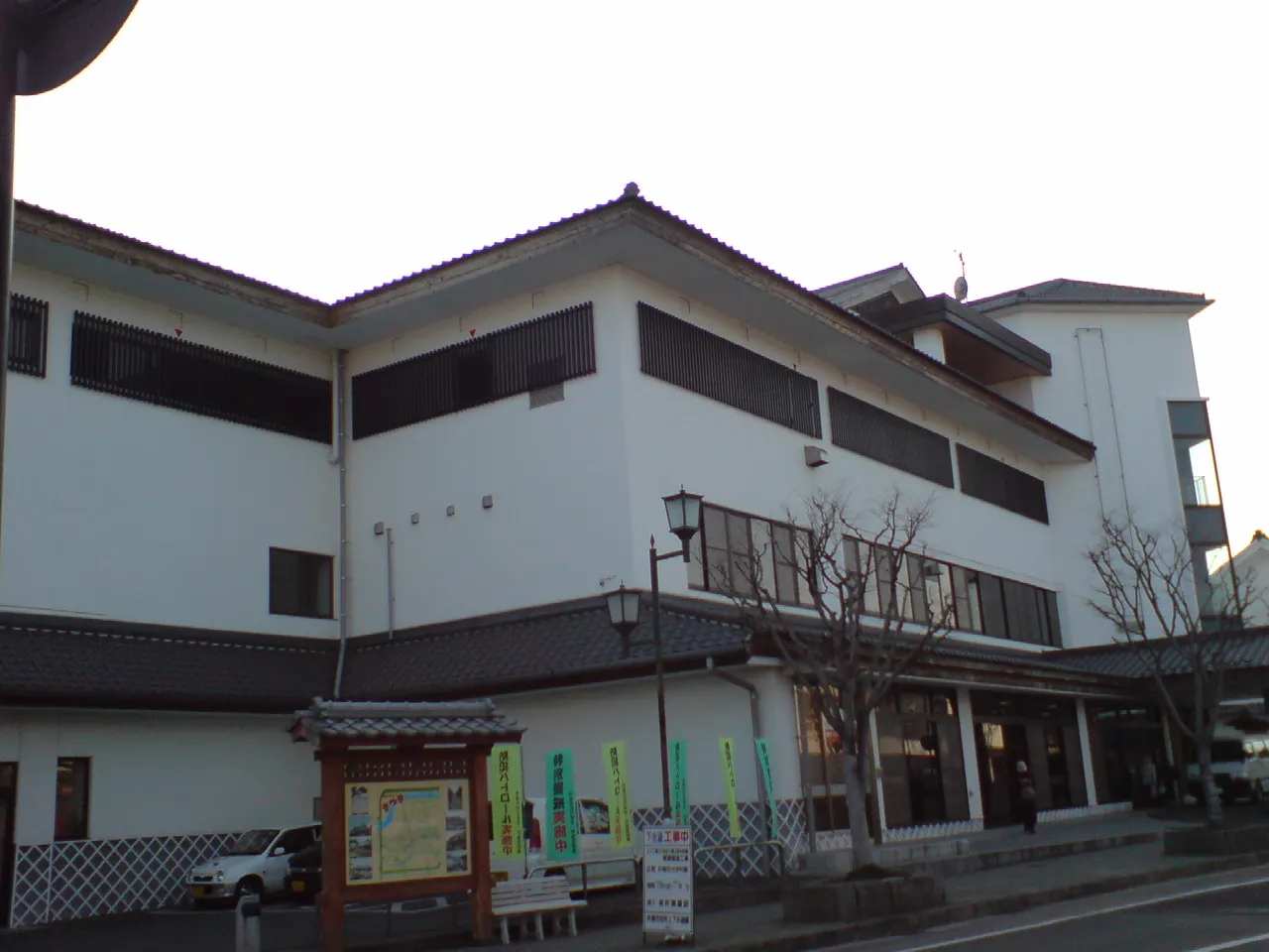 Kitsuki City, Kitsuki Shi28K
-
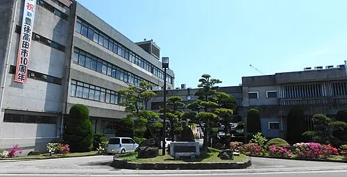 BungoTakada City, Bungo-takada Shi23.1K
-
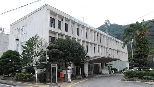 Tsukumiura City, Tsukumi-shi21.7K
Nature and heritage in Oita

Sources & licences
Data last updated: · 2 independent sources