- Local time
- UTC+09:00
- Asia/Tokyo · UTC+09:00
- Airports
- OIT Oita Airport23 km
- UBJ Yamaguchi Ube Airport82 km
About Ōno River
Ōno River is a river. Location: Oita, Japan.
The Ōno River (大野川, Ōno-gawa) is a Class A river that originates in Ōita Prefecture, Japan. After running through the southern and central portions of Ōita Prefecture, it runs through the eastern part of Kumamoto Prefecture and the northern part of Miyazaki Prefecture. The Hakusui Dam, constructed in 1938, is one of twelve dams located on the river. The river includes Harajiri Falls which is located in Bungo-Ōno, Ōita Prefecture.
Read more on Wikipedia Text: Wikipedia contributors · CC BY-SA 4.0 · shortened
At a glance
- Length
- 126 km
Source: Wikidata
Climate of Ōno River
Best months for sightseeingBest months for sightseeing: May–June, September–November.
Bars: average monthly low and high temperature. Below: precipitation. Monthly averages for 1970–2000 at about 18 km resolution, adjusted for elevation. Highlighted months are mild and relatively dry. Source: WorldClim 2.1 (CC BY 4.0).
Show values as a table
| Month | Jan | Feb | Mar | Apr | May | Jun | Jul | Aug | Sep | Oct | Nov | Dec |
|---|---|---|---|---|---|---|---|---|---|---|---|---|
| Average high (°C) | 10° | 10° | 13° | 18° | 22° | 25° | 29° | 30° | 27° | 22° | 17° | 12° |
| Average low (°C) | 2° | 2° | 5° | 10° | 14° | 18° | 22° | 23° | 20° | 14° | 9° | 4° |
| Precipitation (mm) | 46 | 82 | 106 | 156 | 170 | 263 | 284 | 207 | 252 | 135 | 73 | 53 |
Other places to visit in this season: May June September October November
Airports nearest to Ōno River
- Oita Airport (OIT) Oita 23 km
- Yamaguchi Ube Airport (UBJ) Ube 82 km
- Kitakyushu Airport (KKJ) Kitakyushu 88 km
Straight-line distance; airports with scheduled flights only. Source: OurAirports (public domain).
Nearest towns and villages
Nearby attractions & nature
Everything nearby-
 Beppu Wan Natural site, Oita12 km W
-
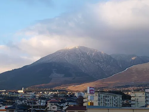 Mount Tsurumi Mountain, Beppu Shi25 km W
-
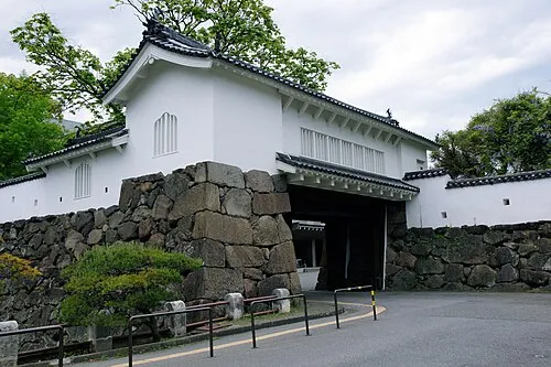 Funai Castle Historic site, Ōita City9 km SW
-
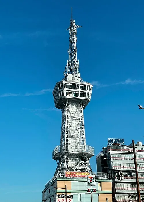 Beppu Tower Landmark, Beppu Shi18 km W
Sources & licences
Data last updated: · 2 independent sources