- Population
- 21,658
- 21.7K
- Elevation
- 13 m
- above sea level
- Local time
- UTC+09:00
- Asia/Tokyo · UTC+09:00
- Airports
- OIT Oita Airport46 km
- KMJ Kumamoto Airport98 km
About Tsukumiura
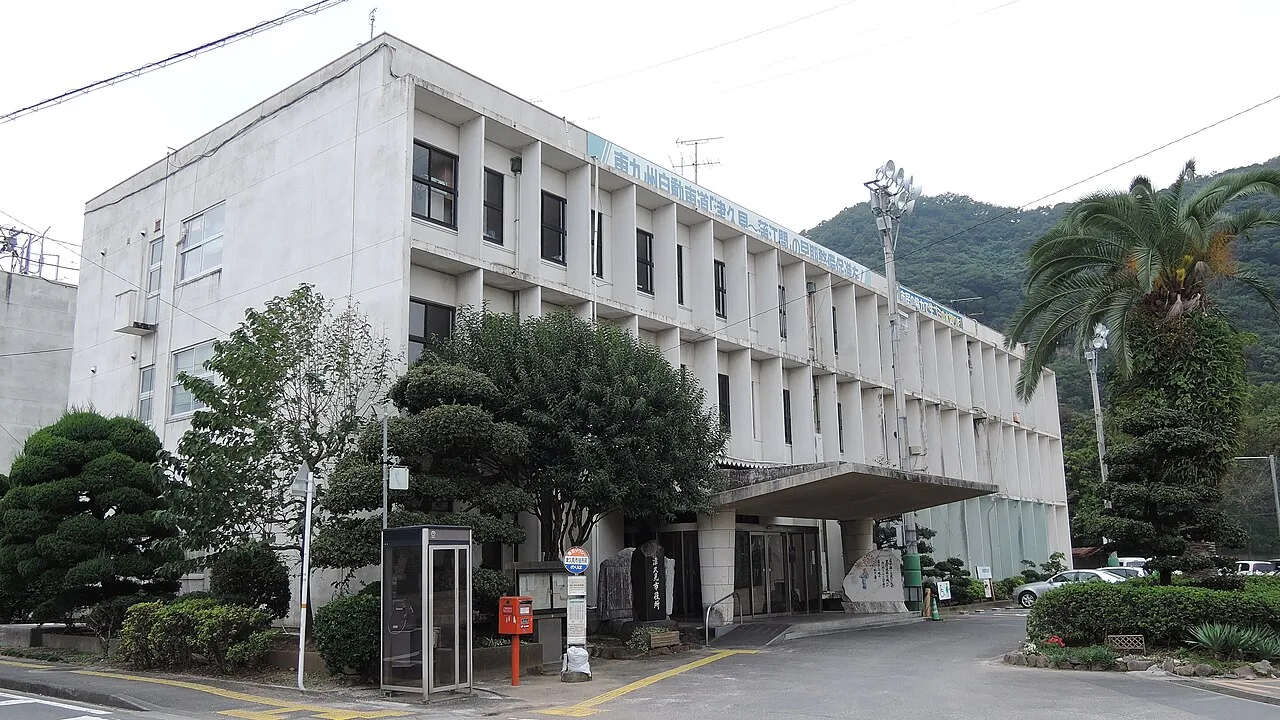
Tsukumiura is a city. Location: Tsukumi-shi, Oita. Population: 21,658. Elevation: 13 m.
Tsukumi (津久見市, Tsukumi-shi) is a city located in Ōita Prefecture, Japan. As of 31 August 2023, the city had an estimated population of 15,492 in 7,666 households, and a population density of 190 persons per km2. The total area of the city is 79.48 km2 (30.69 sq mi). Although it has the smallest population among the cities in Ōita Prefecture, it has the third highest population density after Ōita City and Beppu City.
Source: Wikipedia · CC BY-SA 4.0
Photos of Tsukumiura
-

Olegushka · CC0 -

mechapanda · CC BY-SA 3.0 -

Suikotei · CC BY-SA 4.0 -

Suikotei · CC BY-SA 4.0 -

inunami · CC BY 2.0


Places bordering Tsukumiura
- Saiki
- Usuki
Population of Tsukumiura over time
| 2010 | 19,917 | |
|---|---|---|
| 2014 | 18,459 | |
| 2015 | 17,969 | |
| 2021 | 15,664 |
Censuses and official estimates; source: Wikidata.
Climate of Tsukumiura
Best months for sightseeingBest months for sightseeing: May–June, September–November.
This month · November
A good month to visit
Day 18° · Night 10° · Rain 78 mm
- Hottest month
- August (day 30°)
- Coldest month
- January (night 3°)
- Wettest month
- July (299 mm)
- Driest month
- January (47 mm)
Bars: average monthly low and high temperature. Below: precipitation. Monthly averages for 1970–2000 at about 18 km resolution, adjusted for elevation. Highlighted months are mild and relatively dry. Source: WorldClim 2.1 (CC BY 4.0).
Show values as a table
| Month | Jan | Feb | Mar | Apr | May | Jun | Jul | Aug | Sep | Oct | Nov | Dec |
|---|---|---|---|---|---|---|---|---|---|---|---|---|
| Average high (°C) | 10° | 11° | 14° | 19° | 22° | 25° | 29° | 30° | 27° | 22° | 18° | 13° |
| Average low (°C) | 3° | 3° | 6° | 11° | 15° | 19° | 23° | 24° | 21° | 15° | 10° | 5° |
| Precipitation (mm) | 47 | 86 | 115 | 165 | 184 | 269 | 299 | 232 | 273 | 149 | 78 | 52 |
Other places to visit in this season: May June September October November
How to get to Tsukumiura
The nearest airport is Oita Airport (OIT), 46 km to the north as the crow flies. For international flights: Kumamoto Airport (KMJ) (98 km). The nearest large city is Ōita, 31 km to the northwest.
Airports
- Oita Airport (OIT) Oita 46 kmnorth
- Kumamoto Airport (KMJ) Kumamoto 98 kmwest
- Yamaguchi Ube Airport (UBJ) Ube 110 kmnorthwest
Nearby large cities
- Ōita Population: 477.7K 31 kmnorthwest
- Beppu Population: 122.6K 41 kmnorthwest
- Nobeoka Population: 119.5K 58 kmsouth
- Tokuyama Population: 101.1K 108 kmnorth
- Shūnan Population: 149.6K 112 kmnorth
Straight-line distances; road distances are longer. Airport data: OurAirports.
Day trips from Tsukumiura
Within 100 km: 3 historic and cultural sites, 12 natural sites, 5 lakes, rivers and coasts.
25–60 km11 places
- Mount Ōkueyama Mountain 50 kmSW
- Mount Tsurumi Mountain 47 kmNW
- Mount Sobo Mountain 56 kmSW
- Mount Ōmure Mountain 56 kmNW
60–100 km9 places
- Ao Island Island 93 kmNE
- Mimigawa River River 85 kmS
- Mount Osuzu Mountain 96 kmSW
- Ozu Castle Historic site 79 kmNE
Straight-line distances.
Sources & licences
Data last updated: · 2 independent sources