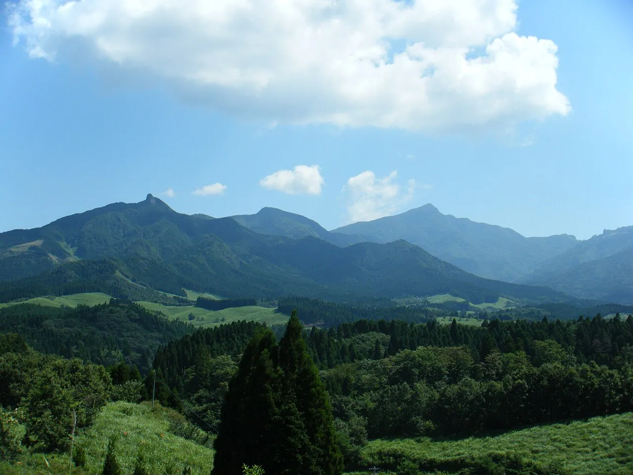
- Elevation
- 1,756 m
- above sea level
- Local time
- UTC+09:00
- Asia/Tokyo · UTC+09:00
- Airports
- KMJ Kumamoto Airport46 km
- OIT Oita Airport81 km
About Mount Sobo
Mount Sobo is a mountain. Location: Bungo-ōno Shi, Oita. Elevation: 1,756 m.
Mount Sobo (祖母山, Sobo-san) is one of the 100 Famous Japanese Mountains. The 1,756-metre-high (5,761 ft) mountain lies on the border of Taketa and Bungo-ōno in Ōita Prefecture and Takachiho, Nishiusuki District in Miyazaki Prefecture. It is within the Sobo, Katamuki and Okue Biosphere Reserve. Mount Sobo is the highest peak in Miyazaki Prefecture and in Ōita Prefecture only the 1,791 m (5,876 ft) middle peak of Mount Kujū is higher.
Source: Wikipedia · CC BY-SA 4.0
Photos of Mount Sobo
-

雷太 · CC BY 2.0 -

雷太 · CC BY 2.0 -

雷太 · CC BY 2.0 -

雷太 · CC BY 2.0 -

雷太 · CC BY 2.0


Climate of Mount Sobo
Best months for sightseeingBest months for sightseeing: July–August.
This month · November
A cold month
Day 6° · Night -1° · Rain 92 mm
Better nearby cities in November
- Nobeoka · 40 km southeast18°
- Ōita · 51 km northeast18°
- Beppu · 52 km north17°
- Hottest month
- August (day 19°)
- Coldest month
- January (night -9°)
- Wettest month
- July (484 mm)
- Driest month
- December (63 mm)
Bars: average monthly low and high temperature. Below: precipitation. Monthly averages for 1970–2000 at about 18 km resolution, adjusted for elevation. Highlighted months are mild and relatively dry. Source: WorldClim 2.1 (CC BY 4.0).
Show values as a table
| Month | Jan | Feb | Mar | Apr | May | Jun | Jul | Aug | Sep | Oct | Nov | Dec |
|---|---|---|---|---|---|---|---|---|---|---|---|---|
| Average high (°C) | -2° | -1° | 3° | 8° | 12° | 15° | 18° | 19° | 16° | 12° | 6° | 1° |
| Average low (°C) | -9° | -9° | -5° | 0° | 5° | 9° | 13° | 13° | 10° | 4° | -1° | -7° |
| Precipitation (mm) | 71 | 109 | 165 | 226 | 269 | 458 | 484 | 335 | 268 | 150 | 92 | 63 |
How to get to Mount Sobo
The nearest airport is Kumamoto Airport (KMJ), 46 km to the west as the crow flies. The nearest large city is Nobeoka, 40 km to the southeast.
Airports
- Kumamoto Airport (KMJ) Kumamoto 46 kmwest
- Oita Airport (OIT) Oita 81 kmnortheast
- Kyushu Saga International Airport (HSG) Saga 104 kmwest
Nearby large cities
- Nobeoka Population: 119.5K 40 kmsoutheast
- Ōita Population: 477.7K 51 kmnortheast
- Beppu Population: 122.6K 52 kmnorth
- Honmachi Population: 123.1K 79 kmsouthwest
- Omuta Population: 132K 87 kmwest
Straight-line distances; road distances are longer. Airport data: OurAirports.
Day trips from Mount Sobo
Within 100 km: 5 historic and cultural sites, 11 natural sites, 8 lakes, rivers and coasts.
0–25 km2 places
- Mount Ōkueyama Mountain 19 kmSE
- Mount Aso Mountain 24 kmW
25–60 km12 places
- Kyūshū Island 55 kmSW
- Mimigawa River River 60 kmSE
- Mount Osuzu Mountain 59 kmS
- Mount Tsurumi Mountain 52 kmN
60–100 km10 places
- Chikugo River River 99 kmW
- Hi Kawa River 72 kmW
- Ōyano Jima Island 90 kmW
- Kuma River River 83 kmSW
Straight-line distances.
Nearest towns and villages
-
Takachiho Chō Municipality, Nishiusuki-gun9.5 km S
-
Takedamachi Neighbourhood, Taketa Shi16 km N
-
Takamori Machi Municipality, Aso-gun14 km W
-
Hinokage Chō Municipality, Nishiusuki-gun16 km S
-
Mie Town, Bungo-ōno Shi27 km NE
-
Takamori Town, Takamori Machi21 km W
Nearby attractions & nature
Everything nearby-
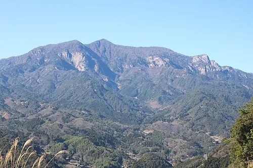 Mount Ōkueyama Mountain, Nobeoka Shi19 km SE
-
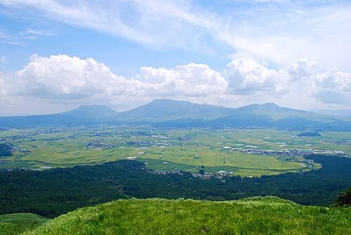 Mount Aso Mountain, Kumamoto24 km W
Sources & licences
Data last updated: · 2 independent sources