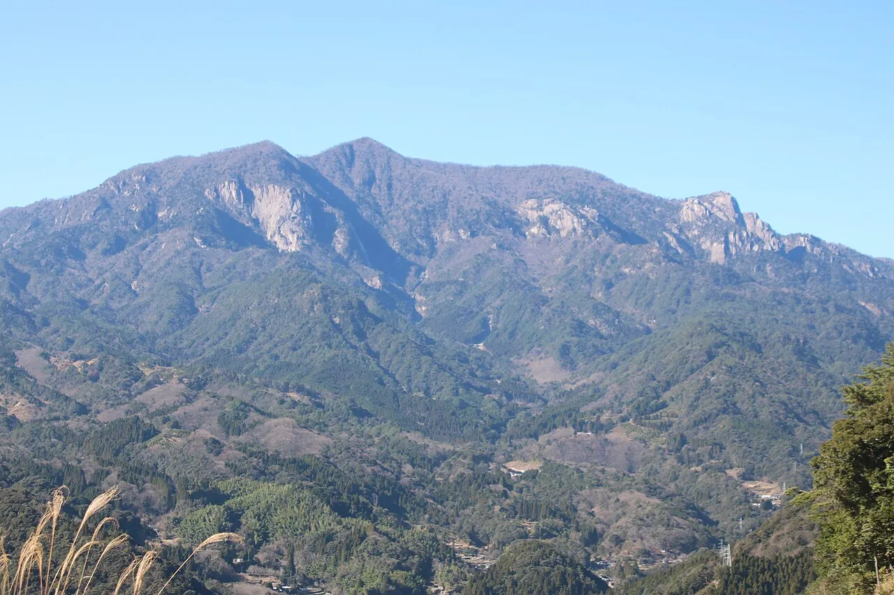
- Elevation
- 1,643 m
- above sea level
- Local time
- UTC+09:00
- Asia/Tokyo · UTC+09:00
- Airports
- KMJ Kumamoto Airport63 km
- OIT Oita Airport85 km
About Mount Ōkueyama
Mount Ōkueyama is a mountain. Location: Nobeoka Shi, Miyazaki. Elevation: 1,643 m.
Mount Ōkueyama (大崩山), also known as Mount Ōkue, is a volcanic mountain on the Japanese island of Kyushu. Part of an ancient volcanic formation known as the Okueyama Volcano-plutonic Complex, Mount Ōkueyama (and possibly several nearby volcanoes) experienced a massive eruption ~13.7 million years before present (13.7 Ma); it has been postulated that this eruption measured 8 on the Volcanic Explosivity Index, making the Ōkueyama eruption larger than any eruption in recorded history.
Source: Wikipedia · CC BY-SA 4.0
Photos of Mount Ōkueyama
-

投稿者 · Public domain -

Yama0904 · CC BY-SA 4.0 -

Antake · Public domain


Climate of Mount Ōkueyama
Best months for sightseeingBest months for sightseeing: July–August.
This month · November
A cold month
Day 7° · Night -1° · Rain 86 mm
Better nearby cities in November
- Nobeoka · 22 km southeast18°
- Ōita · 56 km north18°
- Beppu · 60 km north17°
- Hottest month
- August (day 20°)
- Coldest month
- January (night -9°)
- Wettest month
- July (406 mm)
- Driest month
- December (54 mm)
Bars: average monthly low and high temperature. Below: precipitation. Monthly averages for 1970–2000 at about 18 km resolution, adjusted for elevation. Highlighted months are mild and relatively dry. Source: WorldClim 2.1 (CC BY 4.0).
Show values as a table
| Month | Jan | Feb | Mar | Apr | May | Jun | Jul | Aug | Sep | Oct | Nov | Dec |
|---|---|---|---|---|---|---|---|---|---|---|---|---|
| Average high (°C) | -1° | 0° | 3° | 9° | 13° | 15° | 19° | 20° | 17° | 12° | 7° | 2° |
| Average low (°C) | -9° | -8° | -5° | 1° | 5° | 9° | 13° | 13° | 10° | 5° | -1° | -7° |
| Precipitation (mm) | 58 | 98 | 147 | 210 | 249 | 402 | 406 | 312 | 281 | 156 | 86 | 54 |
How to get to Mount Ōkueyama
The nearest airport is Kumamoto Airport (KMJ), 63 km to the west as the crow flies. The nearest large city is Nobeoka, 22 km to the southeast.
Airports
- Kumamoto Airport (KMJ) Kumamoto 63 kmwest
- Oita Airport (OIT) Oita 85 kmnorth
- Miyazaki Airport (KMI) Miyazaki 96 kmsouth
Nearby large cities
- Nobeoka Population: 119.5K 22 kmsoutheast
- Ōita Population: 477.7K 56 kmnorth
- Beppu Population: 122.6K 60 kmnorth
- Honmachi Population: 123.1K 90 kmwest
- Miyazaki Population: 401.3K 91 kmsouth
Straight-line distances; road distances are longer. Airport data: OurAirports.
Day trips from Mount Ōkueyama
Within 100 km: 4 historic and cultural sites, 12 natural sites, 7 lakes, rivers and coasts.
0–25 km1 place
- Mount Sobo Mountain 19 kmNW
25–60 km7 places
- Kyūshū Island 60 kmSW
- Mimigawa River River 45 kmS
- Mount Osuzu Mountain 49 kmS
- Kyūshū Sanchi Mountain 44 kmSW
60–100 km15 places
- Ooyodo River River 94 kmS
- Hi Kawa River 84 kmW
- Kuma River River 94 kmW
- Kumamoto castle Historic site 76 kmW
Straight-line distances.
Nearest towns and villages
-
Hinokage Chō Municipality, Nishiusuki-gun11 km SW
-
Takachiho Chō Municipality, Nishiusuki-gun19 km W
-
Hinokage Village, Hinokage Chō14 km SW
-
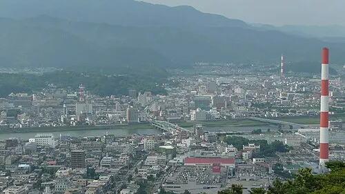 Nobeoka City, Nobeoka Shi22 km SE
-
Kadogawa Chō Municipality, Higashiusuki-gun28 km S
-
Mie Town, Bungo-ōno Shi26 km N
Sources & licences
Data last updated: · 2 independent sources