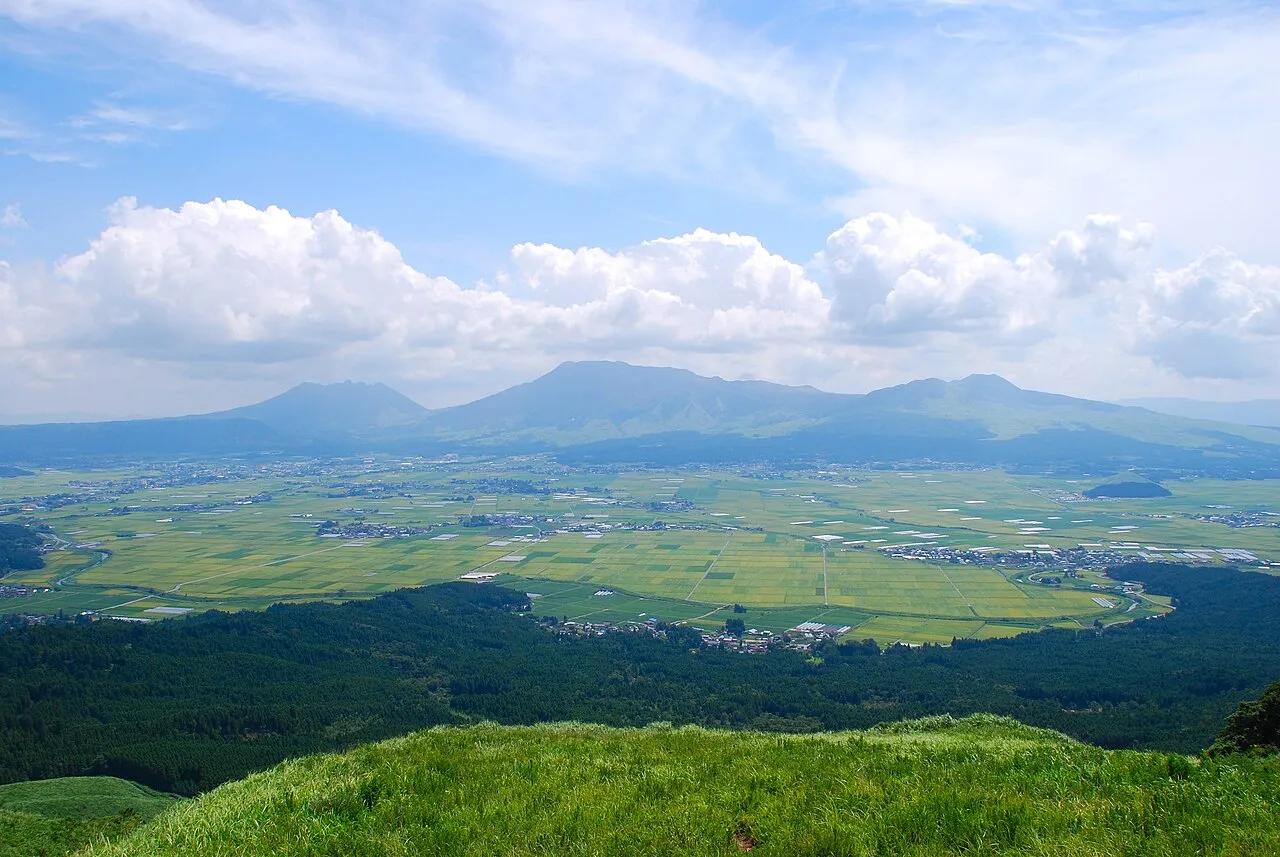
- Elevation
- 1,506 m
- above sea level
- Local time
- UTC+09:00
- Asia/Tokyo · UTC+09:00
- Airports
- KMJ Kumamoto Airport23 km
- HSG Kyushu Saga International Airport80 km
About Mount Aso
Mount Aso is a mountain. Location: Kumamoto, Japan. Elevation: 1,506 m.
Mount Aso (阿蘇山, Aso-san) or Aso Volcano is the second largest active volcano in Japan after Mount Fuji, and among the largest in the world. Common use relates often only to the somma volcano in the centre of Aso Caldera. It stands in Aso Kujū National Park in Kumamoto Prefecture, on the island of Kyushu. Its tallest peak, Takadake, is 1,592 meters (5,223 ft) above sea level.
Read more on Wikipedia Text: Wikipedia contributors · CC BY-SA 4.0 · shortened
Climate of Mount Aso
Best months for sightseeingBest months for sightseeing: July–September.
Bars: average monthly low and high temperature. Below: precipitation. Monthly averages for 1970–2000 at about 18 km resolution, adjusted for elevation. Highlighted months are mild and relatively dry. Source: WorldClim 2.1 (CC BY 4.0).
Show values as a table
| Month | Jan | Feb | Mar | Apr | May | Jun | Jul | Aug | Sep | Oct | Nov | Dec |
|---|---|---|---|---|---|---|---|---|---|---|---|---|
| Average high (°C) | -1° | 0° | 4° | 10° | 14° | 17° | 20° | 21° | 18° | 13° | 8° | 2° |
| Average low (°C) | -8° | -8° | -5° | 1° | 5° | 10° | 14° | 14° | 11° | 5° | -1° | -6° |
| Precipitation (mm) | 79 | 109 | 160 | 209 | 248 | 450 | 500 | 297 | 233 | 131 | 88 | 65 |
Airports nearest to Mount Aso
- Kumamoto Airport (KMJ) Kumamoto 23 km
- Kyushu Saga International Airport (HSG) Saga 80 km
- Oita Airport (OIT) Oita 89 km
Straight-line distance; airports with scheduled flights only. Source: OurAirports (public domain).
Nearest towns and villages
-
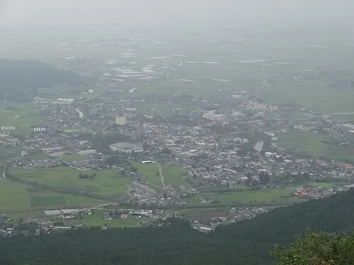 Aso City, Aso-shi6.1 km N
-
Minamiaso Mura Municipality, Aso-gun7.1 km SW
-
Takamori Town, Takamori Machi7.7 km S
-
Takamori Machi Municipality, Aso-gun11 km SE
-
Nishihara Mura Municipality, Aso-gun17 km SW
-
Ōzu Machi Municipality, Kikuchi-gun18 km W
More nature in Japan
-
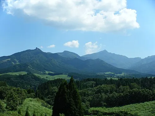 Kyūshū Sanchi Mountain, Kumamoto33 km S
-
 Mount Kinbō Mountain, Nishi-ku44 km W
Sources & licences
Data last updated: · 2 independent sources