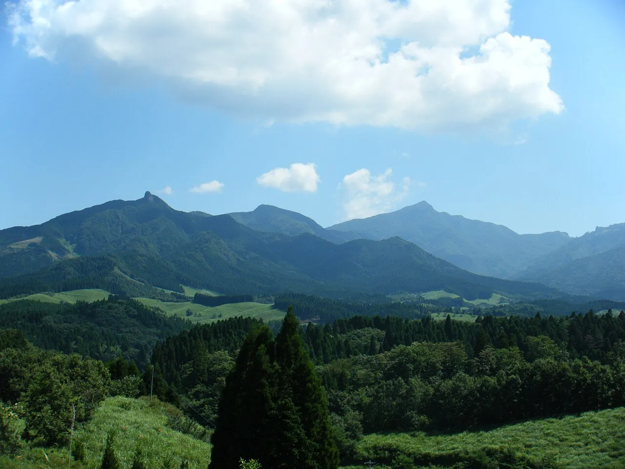
- Elevation
- 1,333 m
- above sea level
- Local time
- UTC+09:00
- Asia/Tokyo · UTC+09:00
- Airports
- KMJ Kumamoto Airport35 km
- KMI Miyazaki Airport86 km
About Kyūshū Sanchi
Kyūshū Sanchi is a mountain. Location: Kumamoto, Japan. Elevation: 1,333 m.
Kyushu Mountains (Japanese: 九州山地) is a mountain range that runs from northeast to southwest in central Kyushu. The highest peak of the mountain range is Mount Sobo.
Source: Wikipedia · CC BY-SA 4.0
Climate of Kyūshū Sanchi
Best months for sightseeingBest months for sightseeing: July–September.
This month · November
A wet month
Day 10° · Night 2° · Rain 101 mm
Better nearby cities in November
- Nobeoka · 55 km east18°
- Miyazaki · 80 km southeast19°
- Beppu · 87 km northeast17°
- Hottest month
- August (day 22°)
- Coldest month
- January (night -6°)
- Wettest month
- July (594 mm)
- Driest month
- December (72 mm)
Bars: average monthly low and high temperature. Below: precipitation. Monthly averages for 1970–2000 at about 18 km resolution, adjusted for elevation. Highlighted months are mild and relatively dry. Source: WorldClim 2.1 (CC BY 4.0).
Show values as a table
| Month | Jan | Feb | Mar | Apr | May | Jun | Jul | Aug | Sep | Oct | Nov | Dec |
|---|---|---|---|---|---|---|---|---|---|---|---|---|
| Average high (°C) | 1° | 2° | 6° | 11° | 15° | 18° | 22° | 22° | 19° | 15° | 10° | 4° |
| Average low (°C) | -6° | -5° | -2° | 4° | 8° | 12° | 16° | 16° | 13° | 8° | 2° | -4° |
| Precipitation (mm) | 90 | 125 | 198 | 254 | 306 | 535 | 594 | 366 | 266 | 150 | 101 | 72 |
How to get to Kyūshū Sanchi
The nearest airport is Kumamoto Airport (KMJ), 35 km to the northwest as the crow flies. The nearest large city is Honmachi, 46 km to the west.
Airports
- Kumamoto Airport (KMJ) Kumamoto 35 kmnorthwest
- Miyazaki Airport (KMI) Miyazaki 86 kmsoutheast
- Amakusa Airport (AXJ) Amakusa 88 kmwest
Nearby large cities
- Honmachi Population: 123.1K 46 kmwest
- Nobeoka Population: 119.5K 55 kmeast
- Omuta Population: 132K 78 kmnorthwest
- Miyazaki Population: 401.3K 80 kmsoutheast
- Beppu Population: 122.6K 86 kmnortheast
Straight-line distances; road distances are longer. Airport data: OurAirports.
Nearest towns and villages
-
Gokase Chō Municipality, Nishiusuki-gun12 km NE
-
Yamato Chō Municipality, Kamimashiki-gun13 km N
-
Shiiba Son Municipality, Higashiusuki-gun15 km S
-
Misato Machi Municipality, Shimomashiki-gun20 km W
-
Morotsuka Son Municipality, Higashiusuki-gun21 km E
-
Takachiho Chō Municipality, Nishiusuki-gun28 km NE
More nature in Japan
-
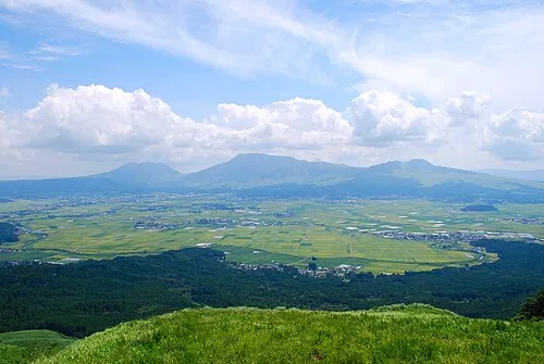 Mount Aso Mountain, Kumamoto33 km N
-
 Mount Kinbō Mountain, Nishi-ku49 km NW
Sources & licences
Data last updated: · 2 independent sources