- Elevation
- 418 m
- above sea level
- Local time
- UTC+09:00
- Asia/Tokyo · UTC+09:00
- Airports
- OIT Oita Airport25 km
- UBJ Yamaguchi Ube Airport56 km
About Mount Ōmure
Mount Ōmure is a mountain. Location: Kitsuki Shi, Oita. Elevation: 418 m. The best months to visit are May–July, September–October. The nearest airport is Oita Airport (25 km). Nearby sights include Mount Tsurumi and Mount Yufu.
Climate of Mount Ōmure
Best months for sightseeingBest months for sightseeing: May–July, September–October.
This month · November
Outside the best season
Day 14° · Night 6° · Rain 71 mm
Better nearby cities in November
- Beppu · 19 km south17°
- Ōita · 27 km southeast18°
- Nobeoka · 98 km south18°
- Hottest month
- August (day 28°)
- Coldest month
- January (night -1°)
- Wettest month
- July (313 mm)
- Driest month
- January (54 mm)
Bars: average monthly low and high temperature. Below: precipitation. Monthly averages for 1970–2000 at about 18 km resolution, adjusted for elevation. Highlighted months are mild and relatively dry. Source: WorldClim 2.1 (CC BY 4.0).
Show values as a table
| Month | Jan | Feb | Mar | Apr | May | Jun | Jul | Aug | Sep | Oct | Nov | Dec |
|---|---|---|---|---|---|---|---|---|---|---|---|---|
| Average high (°C) | 6° | 7° | 10° | 16° | 20° | 23° | 27° | 28° | 24° | 19° | 14° | 9° |
| Average low (°C) | -1° | -1° | 2° | 7° | 12° | 16° | 20° | 21° | 17° | 11° | 6° | 1° |
| Precipitation (mm) | 54 | 86 | 111 | 162 | 174 | 298 | 313 | 189 | 226 | 116 | 71 | 54 |
Other places to visit in this season: May June July September October
How to get to Mount Ōmure
The nearest airport is Oita Airport (OIT), 25 km to the east as the crow flies. For international flights: Kitakyushu Airport (KKJ) (59 km). The nearest large city is Beppu, 19 km to the south.
Airports
- Oita Airport (OIT) Oita 25 kmeast
- Yamaguchi Ube Airport (UBJ) Ube 56 kmnorth
- Kitakyushu Airport (KKJ) Kitakyushu 59 kmnorthwest
Nearby large cities
- Beppu Population: 122.6K 19 kmsouth
- Ōita Population: 477.7K 27 kmsoutheast
- Ube Population: 173.7K 58 kmnorth
- Hōfu Population: 116.9K 67 kmnorth
- Tokuyama Population: 101.1K 74 kmnortheast
Straight-line distances; road distances are longer. Airport data: OurAirports.
Nearest towns and villages
-
Hiji Machi Municipality, Hayami-gun9.9 km SE
-
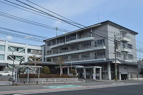 Hiji Town, Hiji Machi11 km SE
-
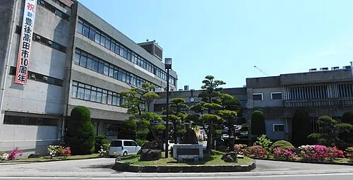 BungoTakada City, Bungo-takada Shi12 km N
-
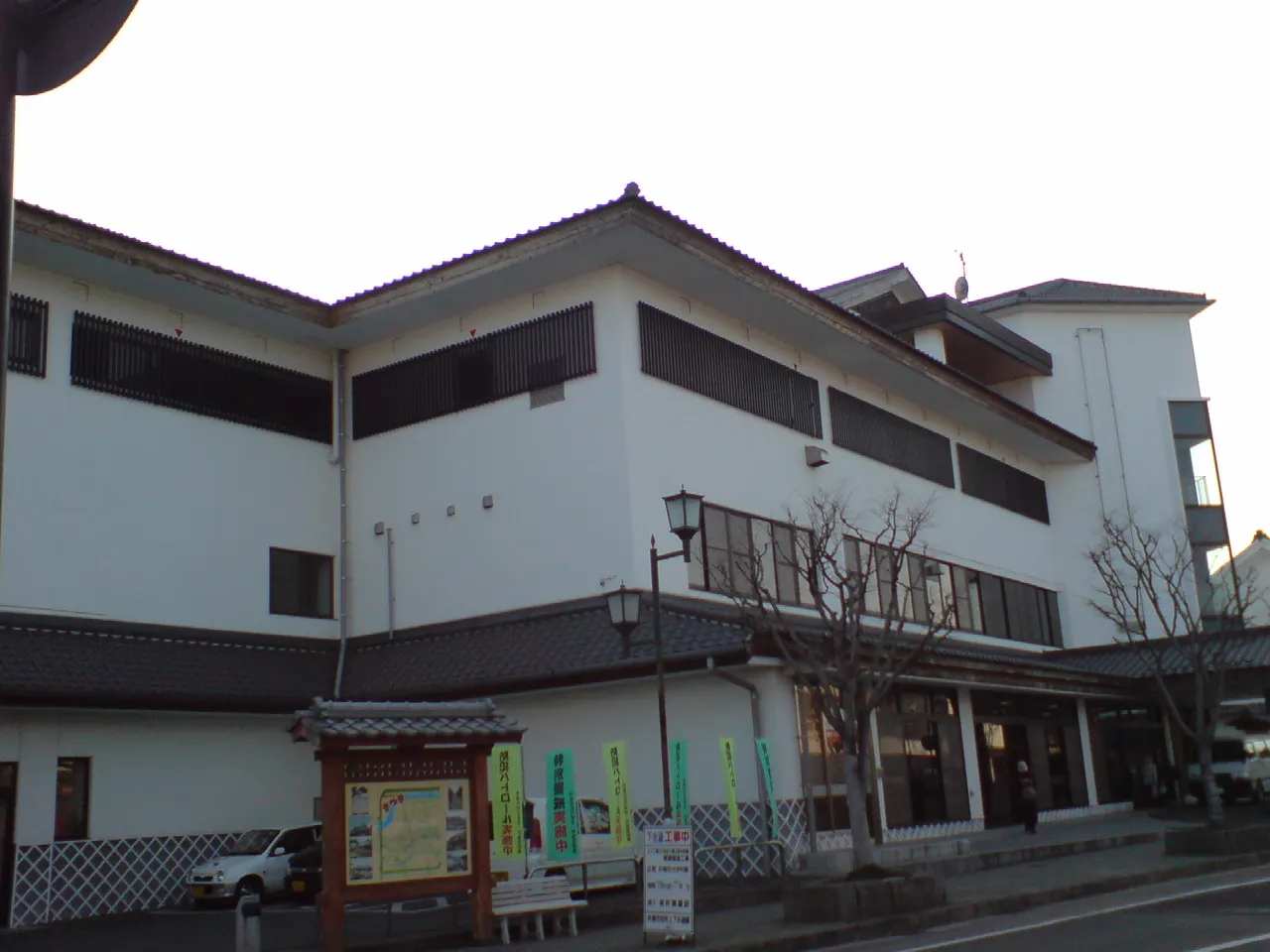 Kitsuki City, Kitsuki Shi14 km E
-
Yokkaichi Town, Usa Shi16 km NW
-
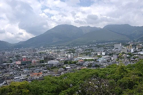 Beppu City, Beppu Shi19 km S
Nearby attractions & nature
Everything nearby-
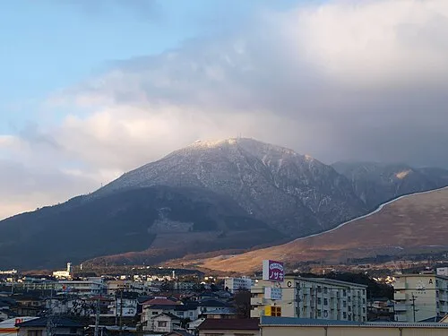 Mount Tsurumi Mountain, Beppu Shi19 km S
-
 Mount Yufu Mountain, Yufu-shi20 km S
-
 Beppu Wan Natural site, Oita19 km SE
-
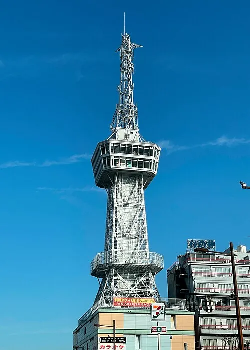 Beppu Tower Landmark, Beppu Shi19 km S
Sources & licences
Data last updated: · 2 independent sources