
- Elevation
- 12 m
- above sea level
- Local time
- UTC+09:00
- Asia/Tokyo · UTC+09:00
- Airports
- AXJ Amakusa Airport28 km
- KMJ Kumamoto Airport49 km
About Ōyano Jima
Ōyano Jima is an island. Location: Kumamoto, Japan.
Ōyano-jima (大矢野島), also spelt as Ōyanojima It is administered as part of the city of Kami-Amakusa. It is connected to the Japanese mainland since 1966 by Five Bridges of Amakusa. The Japan National Route 266 passes through the island. The island primary industry is aquaculture of fish and shrimps. Large part of island belongs to Unzen-Amakusa National Park.
Read more on Wikipedia Text: Wikipedia contributors · CC BY-SA 4.0 · shortened
At a glance
- Area
- 29.9 km²
Source: Wikidata
Climate of Ōyano Jima
Best months for sightseeingBest months for sightseeing: May, October.
Bars: average monthly low and high temperature. Below: precipitation. Monthly averages for 1970–2000 at about 18 km resolution, adjusted for elevation. Highlighted months are mild and relatively dry. Source: WorldClim 2.1 (CC BY 4.0).
Show values as a table
| Month | Jan | Feb | Mar | Apr | May | Jun | Jul | Aug | Sep | Oct | Nov | Dec |
|---|---|---|---|---|---|---|---|---|---|---|---|---|
| Average high (°C) | 10° | 11° | 14° | 19° | 23° | 26° | 30° | 31° | 28° | 23° | 18° | 12° |
| Average low (°C) | 2° | 3° | 6° | 11° | 15° | 19° | 23° | 24° | 20° | 15° | 9° | 4° |
| Precipitation (mm) | 65 | 85 | 131 | 170 | 200 | 369 | 344 | 184 | 183 | 95 | 77 | 60 |
Airports nearest to Ōyano Jima
- Amakusa Airport (AXJ) Amakusa 28 km
- Kumamoto Airport (KMJ) Kumamoto 49 km
- Nagasaki Airport (NGS) Nagasaki 61 km
Straight-line distance; airports with scheduled flights only. Source: OurAirports (public domain).
Nearest towns and villages
-
Ōyanomachi-noboritate Town, Kamiamakusa Shi1.5 km N
-
Honmachi City, Yatsushiro Shi18 km SE
-
Minamishimabara City, Minamishimabara Shi18 km NW
-
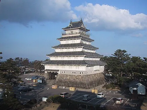 Shimabara City, Shimabara Shi23 km N
-
Uki City, Uki Shi22 km E
-
MInami-ku Municipality, Kumamoto Shi29 km NE
Nearby attractions & nature
Everything nearby-
Kami Shima Island, Kumamoto18 km SW
-
Kuma River River, Kumamoto17 km SE
-
 Mount Unzen Mountain, Nagasaki23 km NW
-
Hi Kawa River, Kumamoto19 km E
-
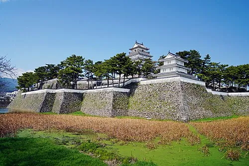 Shimabara Castle Historic site, Shimabara Shi24 km N
More lakes, rivers and coasts in Japan
-
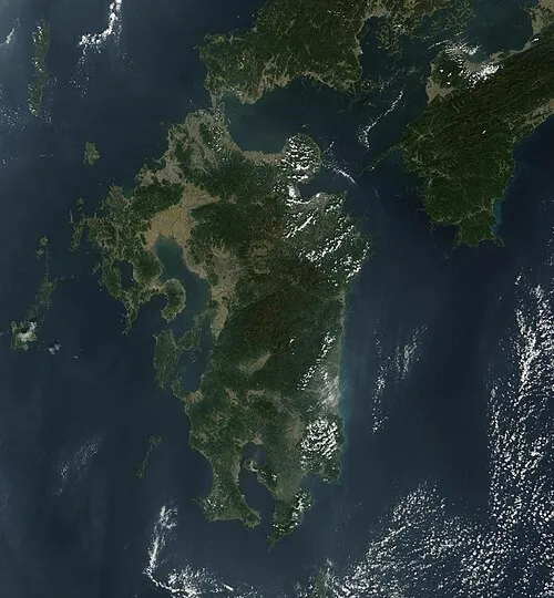 Kyūshū Island, Kumamoto55 km E
-
Shimoshima Island Island, Kumamoto43 km SW
-
Kikuchi River River, Kumamoto34 km N
-
Kami Shima Island, Kumamoto48 km SW
Sources & licences
Data last updated: · 2 independent sources