- Elevation
- 213 m
- above sea level
- Local time
- UTC+09:00
- Asia/Tokyo · UTC+09:00
- Airports
- AXJ Amakusa Airport17 km
- NGS Nagasaki Airport65 km
About Kami Shima
Kami Shima is an island. Location: Kumamoto, Japan.
Kamishima (上島, Kamishima) (also erroneously named Ueshima Island) is the second largest island in the Amakusa archipelago of Japan. Its coasts are washed by Yatsushiro Sea and Shimabara Bay of Ariake Sea, both being the part of East China Sea. The western part of Kamishima Island is administered as part of Amakusa city, while eastern part is administered as part of Kami-Amakusa city. The island's highest peak is Mount Kuratake 682 m (2,238 ft).
Read more on Wikipedia Text: Wikipedia contributors · CC BY-SA 4.0 · shortened
At a glance
- Area
- 225 km²
Source: Wikidata
Climate of Kami Shima
Best months for sightseeingBest months for sightseeing: May–June, October.
Bars: average monthly low and high temperature. Below: precipitation. Monthly averages for 1970–2000 at about 18 km resolution, adjusted for elevation. Highlighted months are mild and relatively dry. Source: WorldClim 2.1 (CC BY 4.0).
Show values as a table
| Month | Jan | Feb | Mar | Apr | May | Jun | Jul | Aug | Sep | Oct | Nov | Dec |
|---|---|---|---|---|---|---|---|---|---|---|---|---|
| Average high (°C) | 9° | 10° | 13° | 18° | 22° | 25° | 28° | 30° | 26° | 22° | 16° | 11° |
| Average low (°C) | 1° | 2° | 5° | 10° | 14° | 18° | 22° | 23° | 19° | 14° | 9° | 4° |
| Precipitation (mm) | 80 | 93 | 141 | 180 | 209 | 380 | 354 | 199 | 195 | 100 | 84 | 70 |
Airports nearest to Kami Shima
- Amakusa Airport (AXJ) Amakusa 17 km
- Nagasaki Airport (NGS) Nagasaki 65 km
- Kumamoto Airport (KMJ) Kumamoto 65 km
Straight-line distance; airports with scheduled flights only. Source: OurAirports (public domain).
Nearest towns and villages
-
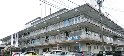 Amakusa City, Amakusa Shi13 km W
-
Hondomachi-hondo Town, Amakusa Shi16 km W
-
Ōyanomachi-noboritate Town, Kamiamakusa Shi19 km NE
-
Minamata City, Minamata27 km S
-
Ashikita Machi Municipality, Ashikita-gun26 km SE
-
Honmachi City, Yatsushiro Shi26 km E
Nearby attractions & nature
Everything nearby-
 Ōyano Jima Island, Kumamoto18 km NE
-
Kuma River River, Kumamoto22 km E
More lakes, rivers and coasts in Japan
-
Shimoshima Island Island, Kumamoto27 km SW
-
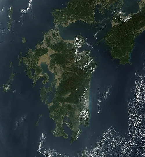 Kyūshū Island, Kumamoto62 km E
-
Kami Shima Island, Kumamoto32 km SW
-
Hi Kawa River, Kumamoto33 km NE
-
Kikuchi River River, Kumamoto51 km N
Sources & licences
Data last updated: · 2 independent sources