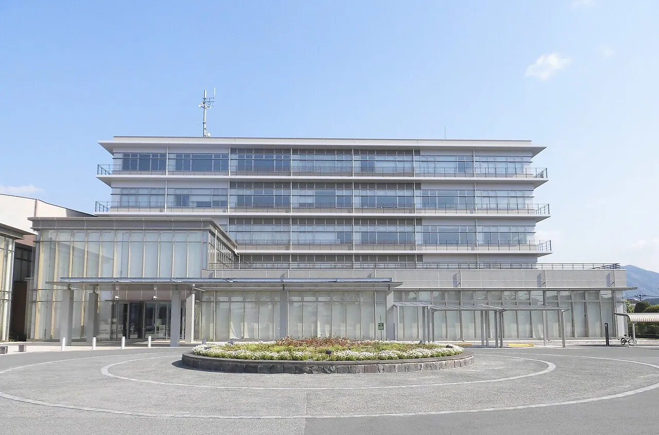
- Population
- 49,082
- 49.1K
- Elevation
- 35 m
- above sea level
- Local time
- UTC+09:00
- Asia/Tokyo · UTC+09:00
- Airports
- KMJ Kumamoto Airport25 km
- HSG Kyushu Saga International Airport39 km
About Yamaga
Yamaga is a city. Location: Yamaga Shi, Kumamoto. Population: 49,082. Elevation: 35 m.
Yamaga (山鹿市, Yamaga-shi) is a city in Kumamoto Prefecture, Japan. As of 31 July 2024, the city had an estimated population of 48,181 in 21,996 households, and a population density of 160 persons per km2. The total area of the city is 299.69 km2 (115.71 sq mi).
Source: Wikipedia · CC BY-SA 4.0
Photos of Yamaga
-

Makoragi · CC BY 4.0 -

Makoragi · CC BY 4.0 -

Kohji Asakawa from Kumamoto, Japan · CC0 -

Gachimoto3 · CC BY 4.0 -

sk01 · CC BY-SA 3.0


Travel notes for Yamaga
From Wikivoyage
Yamaga (山鹿) is a small city in Kamoto district of Kumamoto prefecture.
Understand+
Tourist information site:
The local tourist association has a Japanese-only guide site with integrated machine translation.
Get in+
Buses run from Kumamoto City, Ozu Town (via Kikuchi) and Setaka (in southern Fukuoka prefecture). All buses go to the Yamaga bus terminal. Kyushu Sanko is the main bus company.
Car is the most convenient way to visit Yamaga. From Kumamoto City drive north on Route 3. From Fukuoka, drive along the Kyushu Expressway, exit at Kikusui and follow signs to Yamaga.
The Kumamoto to Yamaga cycling path begins on the Iseri River behind Kumamoto castle and continues through Ueki Town, central Yamaga ending at the Yamaga museum and cycling terminal.
Source: Wikivoyage · CC BY-SA 4.0 · abridged
Places bordering Yamaga
- Kumamoto Shi
- Kikuchi
- Gyokutō Machi
- Nagomi Machi
- Yame Shi
- Hita
Twin towns and sister cities of Yamaga
- Takahashi· Japan
Source: Wikidata. Only places with a page on this site are shown.
Population of Yamaga over time
| 2010 | 55,391 | |
|---|---|---|
| 2015 | 52,264 | |
| 2021 | 48,753 |
Censuses and official estimates; source: Wikidata.
Climate of Yamaga
Best months for sightseeingBest months for sightseeing: May, October.
This month · November
Outside the best season
Day 17° · Night 8° · Rain 74 mm
Better nearby cities in November
- Beppu · 81 km east17°
- Ōita · 88 km east18°
- Nobeoka · 103 km southeast18°
- Hottest month
- August (day 31°)
- Coldest month
- January (night 1°)
- Wettest month
- July (400 mm)
- Driest month
- December (58 mm)
Bars: average monthly low and high temperature. Below: precipitation. Monthly averages for 1970–2000 at about 18 km resolution, adjusted for elevation. Highlighted months are mild and relatively dry. Source: WorldClim 2.1 (CC BY 4.0).
Show values as a table
| Month | Jan | Feb | Mar | Apr | May | Jun | Jul | Aug | Sep | Oct | Nov | Dec |
|---|---|---|---|---|---|---|---|---|---|---|---|---|
| Average high (°C) | 9° | 10° | 14° | 19° | 24° | 26° | 30° | 31° | 28° | 23° | 17° | 12° |
| Average low (°C) | 1° | 2° | 5° | 10° | 15° | 19° | 23° | 24° | 20° | 14° | 8° | 3° |
| Precipitation (mm) | 69 | 90 | 132 | 170 | 201 | 382 | 400 | 212 | 195 | 104 | 74 | 58 |
How to get to Yamaga
The nearest airport is Kumamoto Airport (KMJ), 25 km to the southeast as the crow flies. The nearest large city is Omuta, 22 km to the west.
Airports
- Kumamoto Airport (KMJ) Kumamoto 25 kmsoutheast
- Kyushu Saga International Airport (HSG) Saga 39 kmwest
- Fukuoka Airport (FUK) Fukuoka 67 kmnorth
Nearby large cities
- Omuta Population: 132K 22 kmwest
- Kurume Population: 303.6K 37 kmnorthwest
- Saga Population: 233.3K 44 kmnorthwest
- Chikushino-shi Population: 103.3K 56 kmnorth
- Honmachi Population: 123.1K 57 kmsouth
Straight-line distances; road distances are longer. Airport data: OurAirports.
Day trips from Yamaga
Within 100 km: 19 historic and cultural sites, 25 natural sites, 17 lakes, rivers and coasts.
0–25 km3 places
- Kumamoto castle Historic site 23 kmS
- Mount Kinbō Mountain 23 kmS
- Kikuchi River River 22 kmSW
25–60 km14 places
- Chikugo River River 34 kmNW
- Mount Unzen Mountain 48 kmSW
- Hi Kawa River 46 kmS
- Ōyano Jima Island 54 kmSW
60–100 km44 places
- Kyūshū Island 71 kmSE
- Shimoshima Island Island 95 kmSW
- Hario Jima Island 87 kmW
- Mount Ōkueyama Mountain 83 kmE
Straight-line distances.
Nearby attractions & nature
Everything nearby-
 Kumamoto castle Historic site, Chuo-ku23 km S
-
 Mount Kinbō Mountain, Nishi-ku23 km S
-
Kikuchi River River, Kumamoto22 km SW
Sources & licences
Data last updated: · 2 independent sources