- Population
- 976,846
- 976.8K
- Elevation
- 84 m
- above sea level
- Local time
- UTC+09:00
- Asia/Tokyo · UTC+09:00
- Places inside
- 7
- listed under Kitakyushu City
- Airports
- KKJ Kitakyushu Airport17 km
- UBJ Yamaguchi Ube Airport41 km
About Kitakyushu City
Kitakyushu City is a district. Location: Fukuoka, Japan. Population: 976,846.
Kitakyushu (北九州市, Kitakyūshū-shi; Japanese pronunciation: [kʲi̥.ta.kʲɯꜜː.ɕɯː, kʲi̥.ta.kʲɯː.ɕɯꜜː.ɕi]) is a city in Fukuoka Prefecture, Japan. In 2019, Kitakyushu had an estimated population of 940,978, making it the second-largest city in Fukuoka Prefecture and on the island of Kyushu, after the city of Fukuoka. It is one of Japan's 20 designated cities, one of three on Kyushu, and is divided into seven wards.
Source: Wikipedia · CC BY-SA 4.0
Places bordering Kitakyushu City
- Nakama
- Nōgata
- Yukuhashi
- Ashiya
- Mizumaki Machi
- Kawara Machi
- Fukuchi Machi
- Kanda Machi
- Miyako Machi
- Kurate Machi
- Shimonoseki
Twin towns and sister cities of Kitakyushu City
- Norfolk· United States
- Tacoma· United States
Source: Wikidata. Only places with a page on this site are shown.
Population of Kitakyushu City over time
| 2010 | 976,846 | |
|---|---|---|
| 2015 | 961,286 | |
| 2020 | 935,084 |
Censuses and official estimates; source: Wikidata.
Climate of Kitakyushu City
Best months for sightseeingBest months for sightseeing: May–June, October.
This month · November
Outside the best season
Day 16° · Night 9° · Rain 78 mm
Better nearby cities in November
- Beppu · 88 km southeast17°
- Ōita · 98 km southeast18°
- Nobeoka · 160 km southeast18°
- Hottest month
- August (day 30°)
- Coldest month
- January (night 2°)
- Wettest month
- July (284 mm)
- Driest month
- December (63 mm)
Bars: average monthly low and high temperature. Below: precipitation. Monthly averages for 1970–2000 at about 18 km resolution, adjusted for elevation. Highlighted months are mild and relatively dry. Source: WorldClim 2.1 (CC BY 4.0).
Show values as a table
| Month | Jan | Feb | Mar | Apr | May | Jun | Jul | Aug | Sep | Oct | Nov | Dec |
|---|---|---|---|---|---|---|---|---|---|---|---|---|
| Average high (°C) | 9° | 9° | 12° | 18° | 22° | 25° | 29° | 30° | 26° | 22° | 16° | 11° |
| Average low (°C) | 2° | 3° | 5° | 10° | 14° | 19° | 23° | 24° | 20° | 14° | 9° | 4° |
| Precipitation (mm) | 76 | 84 | 110 | 158 | 158 | 274 | 284 | 139 | 199 | 98 | 78 | 63 |
How to get to Kitakyushu City
The nearest airport is Kitakyushu Airport (KKJ), 17 km to the east as the crow flies. The nearest large city is Shimonoseki, 14 km to the northeast.
Airports
- Kitakyushu Airport (KKJ) Kitakyushu 17 kmeast
- Yamaguchi Ube Airport (UBJ) Ube 41 kmeast
- Fukuoka Airport (FUK) Fukuoka 47 kmsouthwest
Nearby large cities
- Shimonoseki Population: 265.7K 14 kmnortheast
- Iizuka Population: 126.4K 28 kmsouthwest
- Ube Population: 173.7K 39 kmeast
- Ōnojō Population: 102.1K 49 kmsouthwest
- Chikushino-shi Population: 103.3K 50 kmsouthwest
Straight-line distances; road distances are longer. Airport data: OurAirports.
Places in Kitakyushu City
7 places- 1 Yahata-nishi Ku 257.1K
- 2 Kokura-minami Ku 214.8K
- 3 Kokura-kita Ku 182.6K
- 4 Moji-ku 104.5K
- 5 Wakamatsu Ku 85.2K
- 6 Yahata-higashi Ku 71.8K
- 7 Tobata Ku 61.6K
Bar: population relative to the most populous place in this list.
Nature and heritage in Kitakyushu City
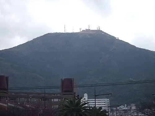
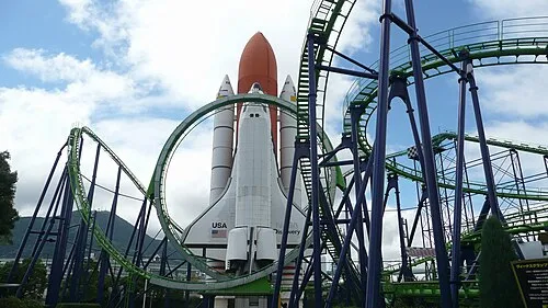
Nearby attractions & nature
Everything nearby-
Wakato Ōhashi Landmark, Fukuoka6.3 km NW
-
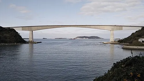 Hiko Shima Island, Shimonoseki Shi11 km NE
-
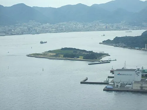 Ganryū-jima Island, Yamaguchi12 km NE
-
Kanmon Kyō Landmark, Japan16 km NE
-
Kōzan Ji Attraction, Shimonoseki Shi20 km NE
Sources & licences
Data last updated: · 2 independent sources