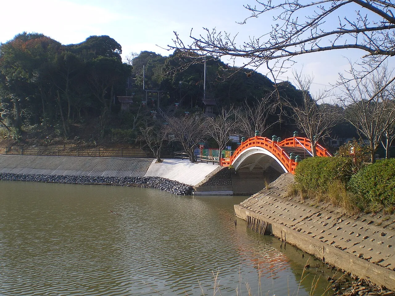
- Population
- 44,326
- 44.3K
- Elevation
- 3 m
- above sea level
- Local time
- UTC+09:00
- Asia/Tokyo · UTC+09:00
- Places inside
- 1
- listed under Nakama Shi
- Airports
- KKJ Kitakyushu Airport30 km
- FUK Fukuoka Airport35 km
About Nakama Shi
Nakama Shi is a district. Location: Fukuoka, Japan. Population: 44,326.
Nakama (中間市, Nakama-shi) is a city located in Fukuoka Prefecture, Japan. As of 1 January 2024, the city had an estimated population of 39,366 in 20466 households, and a population density of 2500 persons per km2. The total area of the city is 15.96 km2 (6.16 sq mi).. It is perhaps best known as the birthplace of actor Ken Takakura.
Source: Wikipedia · CC BY-SA 4.0
Places bordering Nakama Shi
- Kitakyushu City
- Kurate Machi
- Onga-gun
- Mizumaki Machi
Population of Nakama Shi over time
| 2010 | 44,210 | |
|---|---|---|
| 2015 | 41,796 | |
| 2020 | 39,634 |
Censuses and official estimates; source: Wikidata.
Climate of Nakama Shi
Best months for sightseeingBest months for sightseeing: May, October.
This month · November
Outside the best season
Day 17° · Night 9° · Rain 79 mm
Better nearby cities in November
- Beppu · 95 km southeast17°
- Ōita · 105 km southeast18°
- Nobeoka · 164 km southeast18°
- Hottest month
- August (day 31°)
- Coldest month
- January (night 2°)
- Wettest month
- July (316 mm)
- Driest month
- December (63 mm)
Bars: average monthly low and high temperature. Below: precipitation. Monthly averages for 1970–2000 at about 18 km resolution, adjusted for elevation. Highlighted months are mild and relatively dry. Source: WorldClim 2.1 (CC BY 4.0).
Show values as a table
| Month | Jan | Feb | Mar | Apr | May | Jun | Jul | Aug | Sep | Oct | Nov | Dec |
|---|---|---|---|---|---|---|---|---|---|---|---|---|
| Average high (°C) | 9° | 10° | 13° | 19° | 23° | 26° | 30° | 31° | 27° | 22° | 17° | 12° |
| Average low (°C) | 2° | 2° | 5° | 10° | 14° | 19° | 23° | 24° | 20° | 14° | 9° | 4° |
| Precipitation (mm) | 78 | 88 | 113 | 155 | 161 | 288 | 316 | 157 | 200 | 99 | 79 | 63 |
How to get to Nakama Shi
The nearest airport is Kitakyushu Airport (KKJ), 30 km to the east as the crow flies. The nearest large city is Iizuka, 21 km to the south.
Airports
- Kitakyushu Airport (KKJ) Kitakyushu 30 kmeast
- Fukuoka Airport (FUK) Fukuoka 35 kmsouthwest
- Yamaguchi Ube Airport (UBJ) Ube 54 kmeast
Nearby large cities
- Iizuka Population: 126.4K 21 kmsouth
- Shimonoseki Population: 265.7K 26 kmnortheast
- Ōnojō Population: 102.1K 38 kmsouthwest
- Kasuga Population: 111K 40 kmsouthwest
- Chikushino-shi Population: 103.3K 40 kmsouthwest
Straight-line distances; road distances are longer. Airport data: OurAirports.
Day trips from Nakama Shi
Within 100 km: 16 historic and cultural sites, 15 natural sites, 13 lakes, rivers and coasts.
0–25 km5 places
- Hiko Shima Island 22 kmNE
- Wakato Ōhashi Landmark 14 kmNE
- Ganryū-jima Island 24 kmNE
- Mount Sarakura Mountain 9 kmE
25–60 km23 places
- Kōzan Ji Attraction 32 kmNE
- Kanmon Kyō Landmark 28 kmNE
- Kyūshū Kokuritsu Hakubutsukan Museum 37 kmSW
- Shika Island Island 41 kmSW
60–100 km16 places
- Iki Island Island 91 kmW
- Okino-shima Island 73 kmNW
- Mount Tsurumi Mountain 90 kmSE
- Tsuno Shima Island 61 kmN
Straight-line distances.
Places in Nakama Shi
1 place
Nakama
Population: 46.7K
Nearby attractions & nature
Everything nearby-
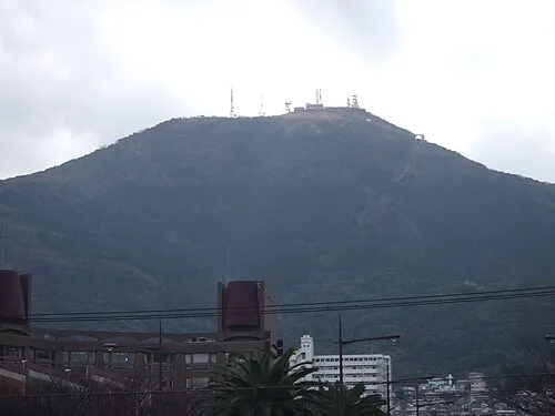 Mount Sarakura Mountain, Yahata-higashi Ku8.6 km E
-
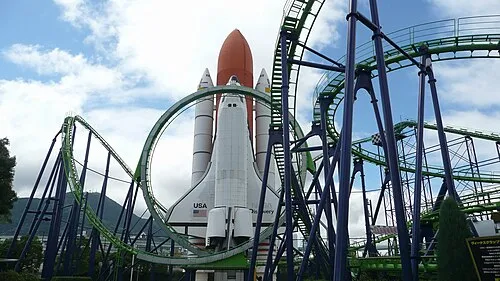 Space World Natural site, Yahata-higashi Ku11 km NE
-
Wakato Ōhashi Landmark, Fukuoka14 km NE
-
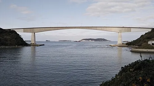 Hiko Shima Island, Shimonoseki Shi22 km NE
-
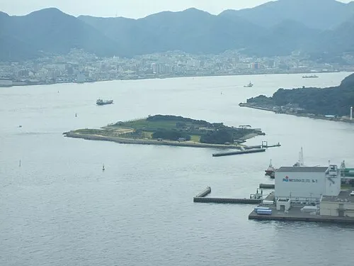 Ganryū-jima Island, Yamaguchi24 km NE
Sources & licences
Data last updated: · 2 independent sources