- Local time
- UTC+09:00
- Asia/Tokyo · UTC+09:00
- Elevation
- 16 m
- above sea level
- Airports
- KKJ Kitakyushu Airport21 km
- UBJ Yamaguchi Ube Airport43 km
About Wakato Ōhashi
Wakato Ōhashi is a landmark. Location: Fukuoka, Japan. The best months to visit are May–June, October. The nearest airport is Kitakyushu Airport (21 km). Nearby sights include Space World and Mount Sarakura.
Climate of Wakato Ōhashi
Best months for sightseeingBest months for sightseeing: May–June, October.
This month · November
Outside the best season
Day 17° · Night 9° · Rain 80 mm
Better nearby cities in November
- Beppu · 94 km southeast17°
- Ōita · 104 km southeast18°
- Nobeoka · 167 km southeast18°
- Hottest month
- August (day 31°)
- Coldest month
- January (night 3°)
- Wettest month
- July (305 mm)
- Driest month
- December (67 mm)
Bars: average monthly low and high temperature. Below: precipitation. Monthly averages for 1970–2000 at about 18 km resolution, adjusted for elevation. Highlighted months are mild and relatively dry. Source: WorldClim 2.1 (CC BY 4.0).
Show values as a table
| Month | Jan | Feb | Mar | Apr | May | Jun | Jul | Aug | Sep | Oct | Nov | Dec |
|---|---|---|---|---|---|---|---|---|---|---|---|---|
| Average high (°C) | 9° | 10° | 13° | 18° | 23° | 26° | 29° | 31° | 27° | 22° | 17° | 12° |
| Average low (°C) | 3° | 3° | 6° | 10° | 14° | 19° | 23° | 24° | 20° | 14° | 9° | 5° |
| Precipitation (mm) | 80 | 88 | 108 | 155 | 153 | 263 | 305 | 140 | 205 | 97 | 80 | 67 |
How to get to Wakato Ōhashi
The nearest airport is Kitakyushu Airport (KKJ), 21 km to the east as the crow flies. The nearest large city is Shimonoseki, 13 km to the northeast.
Airports
- Kitakyushu Airport (KKJ) Kitakyushu 21 kmeast
- Yamaguchi Ube Airport (UBJ) Ube 43 kmeast
- Fukuoka Airport (FUK) Fukuoka 49 kmsouthwest
Nearby large cities
- Shimonoseki Population: 265.7K 13 kmnortheast
- Iizuka Population: 126.4K 32 kmsouth
- Ube Population: 173.7K 40 kmeast
- Ōnojō Population: 102.1K 51 kmsouthwest
- Chikushino-shi Population: 103.3K 53 kmsouthwest
Straight-line distances; road distances are longer. Airport data: OurAirports.
Nearby attractions & nature
Everything nearby-
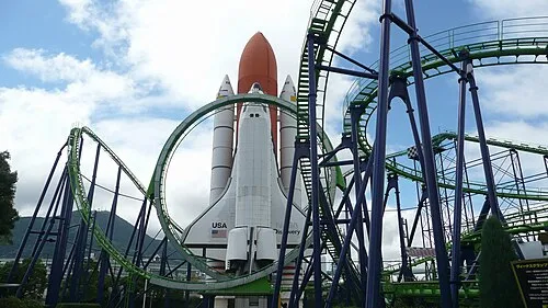 Space World Natural site, Yahata-higashi Ku3.3 km S
-
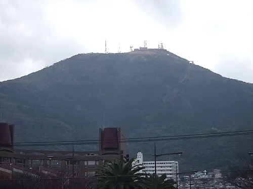 Mount Sarakura Mountain, Yahata-higashi Ku6.5 km S
-
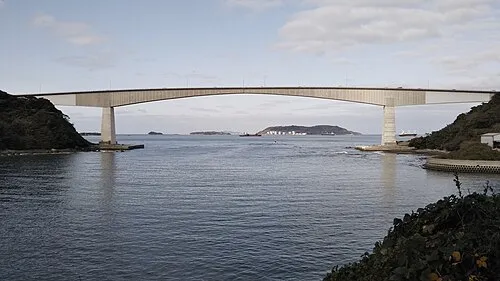 Hiko Shima Island, Shimonoseki Shi9.2 km E
-
Kanmon Kyō Landmark, Japan15 km NE
-
Kōzan Ji Attraction, Shimonoseki Shi18 km NE
-
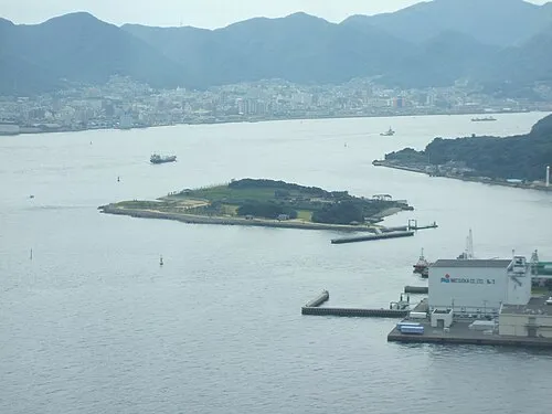 Ganryū-jima Island, Yamaguchi11 km E
Nearest towns and villages
-
Tobata Ku Municipality, Kitakyushu City1.7 km E
-
Kokura-kita Ku Municipality, Kitakyushu City6.1 km SE
-
Yahata-higashi Ku Municipality, Kitakyushu City5.9 km S
-
Wakamatsu Ku Municipality, Kitakyushu City6.2 km W
More sights in Fukuoka
-
 Shōfuku-ji Attraction, Hakata50 km SW
-
 Tōchō-ji Attraction, Hakata51 km SW
-
 Our Lady of Victory Cathedral, Fukuoka Attraction, Chūō-ku52 km SW
-
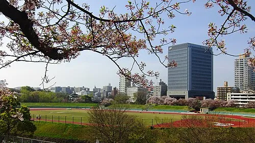 Heiwadai Athletic Stadium Landmark, Chūō-ku53 km SW
-
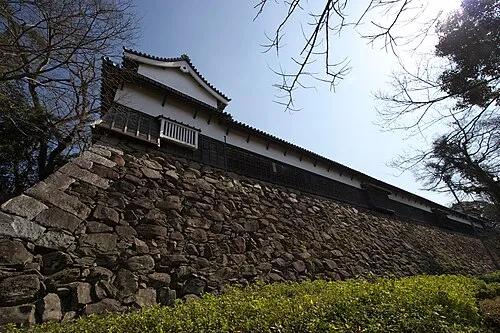 Fukuoka Castle ruins Historic site, Chūō-ku53 km SW
-
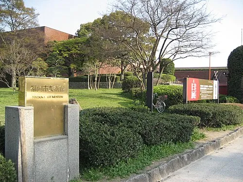 Fukuoka Art Museum Museum, Chūō-ku54 km SW
Sources & licences
Data last updated: