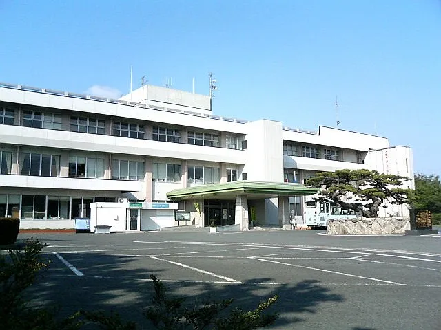
- Elevation
- 29 m
- above sea level
- Local time
- UTC+09:00
- Asia/Tokyo · UTC+09:00
- Places inside
- 7
- listed under Kasuya-gun
- Airports
- FUK Fukuoka Airport7 km
- KKJ Kitakyushu Airport54 km
About Kasuya-gun
Kasuya-gun is a district. Location: Fukuoka, Japan.
Fukuoka Prefecture (福岡県, Fukuoka-ken; Japanese pronunciation: [ɸɯ̥̈.kɯ̈́.ò̞.kä̀, -ó̞.kä́.kè̞ɴ̀]) is a prefecture of Japan located on the island of Kyūshū. Fukuoka Prefecture has a population of 5,081,879 (1 October 2025) and has a geographic area of 4,986 square kilometres (1,925 sq mi). Fukuoka Prefecture borders Saga Prefecture to the southwest, Kumamoto Prefecture to the south, and Ōita Prefecture to the southeast.
Source: Wikipedia · CC BY-SA 4.0
At a glance
- Built
- 1878
Source: Wikidata
Climate of Kasuya-gun
Best months for sightseeingBest months for sightseeing: May, October.
This month · November
Outside the best season
Day 17° · Night 9° · Rain 78 mm
Better nearby cities in November
- Beppu · 99 km southeast17°
- Ōita · 110 km southeast18°
- Nobeoka · 158 km southeast18°
- Hottest month
- August (day 31°)
- Coldest month
- January (night 2°)
- Wettest month
- July (335 mm)
- Driest month
- December (62 mm)
Bars: average monthly low and high temperature. Below: precipitation. Monthly averages for 1970–2000 at about 18 km resolution, adjusted for elevation. Highlighted months are mild and relatively dry. Source: WorldClim 2.1 (CC BY 4.0).
Show values as a table
| Month | Jan | Feb | Mar | Apr | May | Jun | Jul | Aug | Sep | Oct | Nov | Dec |
|---|---|---|---|---|---|---|---|---|---|---|---|---|
| Average high (°C) | 9° | 9° | 13° | 18° | 23° | 26° | 30° | 31° | 27° | 22° | 17° | 12° |
| Average low (°C) | 2° | 2° | 5° | 10° | 14° | 19° | 23° | 24° | 20° | 14° | 9° | 4° |
| Precipitation (mm) | 77 | 85 | 119 | 157 | 170 | 317 | 335 | 179 | 198 | 99 | 78 | 62 |
How to get to Kasuya-gun
The nearest airport is Fukuoka Airport (FUK), 7 km to the southwest as the crow flies. The nearest large city is Ōnojō, 11 km to the south.
Airports
- Fukuoka Airport (FUK) Fukuoka 7 kmsouthwest
- Kitakyushu Airport (KKJ) Kitakyushu 54 kmnortheast
- Kyushu Saga International Airport (HSG) Saga 56 kmsouth
Nearby large cities
- Ōnojō Population: 102.1K 11 kmsouth
- Kasuga Population: 111K 12 kmsouthwest
- Chikushino-shi Population: 103.3K 14 kmsouth
- Iizuka Population: 126.4K 16 kmeast
- Kurume Population: 303.6K 34 kmsouth
Straight-line distances; road distances are longer. Airport data: OurAirports.
Places in Kasuya-gun
7 places- 1 Shime Machi 45.7K
- 2 Kasuya Machi 44.6K
- 3 Umi-machi 37.9K
- 4 Sasaguri Machi 31.6K
- 5 Shingū-machi 28.3K
- 6 Sue Machi 27.2K
- 7 Hisayama Machi 8.4K
Bar: population relative to the most populous place in this list.
Nearby attractions & nature
Everything nearby-
 Tōchō-ji Attraction, Hakata10 km W
-
 Shōfuku-ji Attraction, Hakata9.9 km W
-
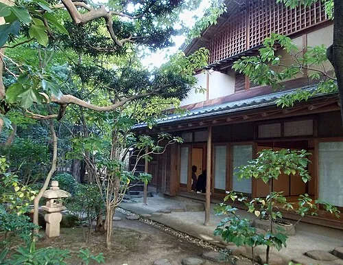 Rakusui-en Natural site, Hakata10 km SW
-
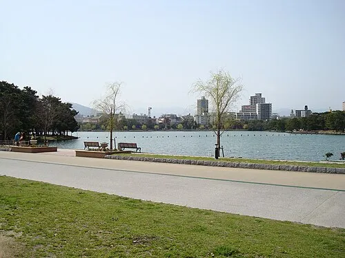 Ōhori Park Natural site, Chūō-ku14 km W
-
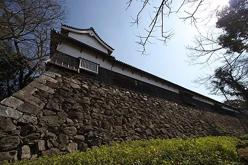 Fukuoka Castle ruins Historic site, Chūō-ku13 km W
-
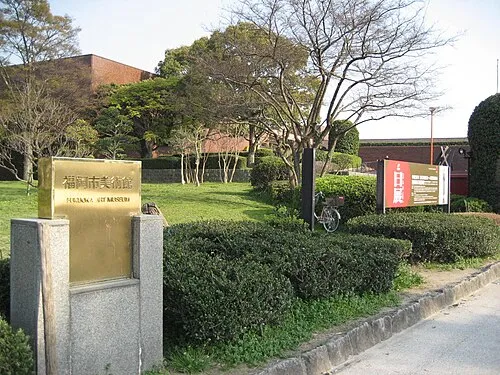 Fukuoka Art Museum Museum, Chūō-ku13 km W
Sources & licences
Data last updated: · 2 independent sources