- Population
- 37,896
- 37.9K
- Elevation
- 210 m
- above sea level
- Local time
- UTC+09:00
- Asia/Tokyo · UTC+09:00
- Places inside
- 1
- listed under Umi-machi
- Airports
- FUK Fukuoka Airport9 km
- HSG Kyushu Saga International Airport52 km
About Umi-machi
Umi-machi is a municipality. Location: Kasuya-gun, Fukuoka. Population: 37,896. Elevation: 210 m. The best months to visit are May–June, September–October. The nearest airport is Fukuoka Airport (9 km). Nearby sights include Mount Hōman and Kyūshū Kokuritsu Hakubutsukan.
Photos of Umi-machi
-
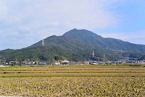
Mount Hōman Miya.m · CC BY-SA 3.0

Climate of Umi-machi
Best months for sightseeingBest months for sightseeing: May–June, September–October.
This month · November
Outside the best season
Day 16° · Night 7° · Rain 78 mm
Better nearby cities in November
- Beppu · 94 km east17°
- Ōita · 104 km east18°
- Nobeoka · 151 km southeast18°
- Hottest month
- August (day 29°)
- Coldest month
- January (night 1°)
- Wettest month
- July (335 mm)
- Driest month
- December (62 mm)
Bars: average monthly low and high temperature. Below: precipitation. Monthly averages for 1970–2000 at about 18 km resolution, adjusted for elevation. Highlighted months are mild and relatively dry. Source: WorldClim 2.1 (CC BY 4.0).
Show values as a table
| Month | Jan | Feb | Mar | Apr | May | Jun | Jul | Aug | Sep | Oct | Nov | Dec |
|---|---|---|---|---|---|---|---|---|---|---|---|---|
| Average high (°C) | 8° | 8° | 12° | 17° | 22° | 25° | 28° | 29° | 26° | 21° | 16° | 10° |
| Average low (°C) | 1° | 1° | 4° | 9° | 13° | 18° | 22° | 22° | 19° | 13° | 7° | 3° |
| Precipitation (mm) | 77 | 85 | 119 | 157 | 170 | 317 | 335 | 179 | 198 | 99 | 78 | 62 |
Other places to visit in this season: May June September October
How to get to Umi-machi
The nearest airport is Fukuoka Airport (FUK), 9 km to the west as the crow flies. The nearest large city is Ōnojō, 7 km to the southwest.
Airports
- Fukuoka Airport (FUK) Fukuoka 9 kmwest
- Kyushu Saga International Airport (HSG) Saga 52 kmsouthwest
- Kitakyushu Airport (KKJ) Kitakyushu 55 kmnortheast
Nearby large cities
- Ōnojō Population: 102.1K 7 kmsouthwest
- Chikushino-shi Population: 103.3K 8 kmsouth
- Kasuga Population: 111K 9 kmsouthwest
- Iizuka Population: 126.4K 15 kmnortheast
- Kurume Population: 303.6K 28 kmsouth
Straight-line distances; road distances are longer. Airport data: OurAirports.
Day trips from Umi-machi
Within 100 km: 20 historic and cultural sites, 21 natural sites, 12 lakes, rivers and coasts.
0–25 km17 places
- Kyūshū Kokuritsu Hakubutsukan Museum 5 kmS
- Mt. Abura Mountain 18 kmW
- Shōfū-en Natural site 14 kmW
- Rakusui-en Natural site 13 kmW
25–60 km13 places
- Hiko Shima Island 53 kmNE
- Kanmon Kyō Landmark 58 kmNE
- Wakato Ōhashi Landmark 45 kmNE
- Ganryū-jima Island 54 kmNE
60–100 km23 places
- Iki Island Island 80 kmW
- Hario Jima Island 89 kmSW
- Okino-shima Island 86 kmNW
- Mount Unzen Mountain 94 kmS
Straight-line distances.
Places in Umi-machi
1 placeBar: population relative to the most populous place in this list.
Nearby attractions & nature
Everything nearby-
Mount Hōman Mountain, Dazaifu-shi3.4 km SE
-
Kyūshū Kokuritsu Hakubutsukan Museum, Dazaifu-shi5.5 km S
-
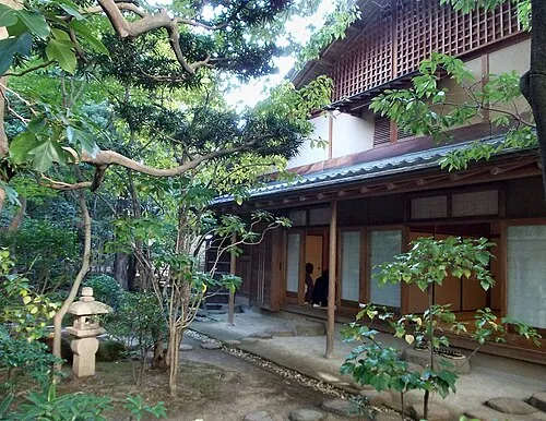 Rakusui-en Natural site, Hakata13 km W
-
 Tōchō-ji Attraction, Hakata13 km W
-
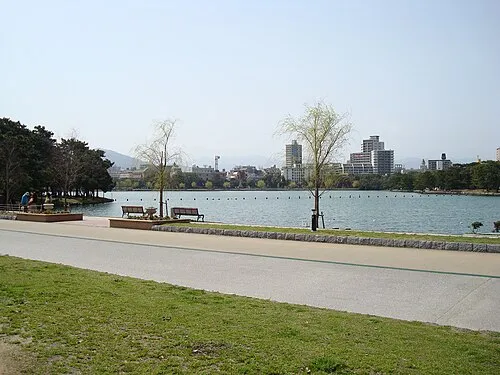 Ōhori Park Natural site, Chūō-ku16 km W
-
 Shōfuku-ji Attraction, Hakata13 km W
-
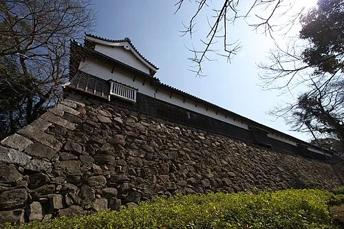 Fukuoka Castle ruins Historic site, Chūō-ku16 km W
-
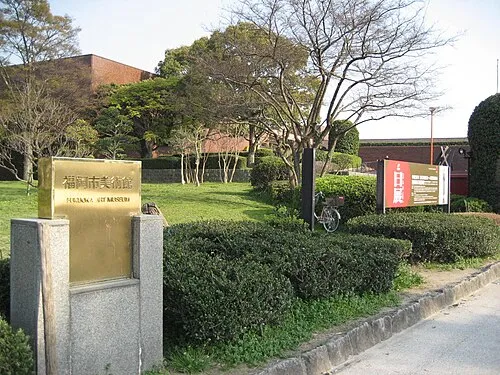 Fukuoka Art Museum Museum, Chūō-ku16 km W
Other cities and towns in Kasuya-gun
-
Kasuya Machi Municipality, Kasuya-gun8.9 km NW
-
Hisayama Machi Municipality, Kasuya-gun12 km N
-
Wakasugi Town, Sasaguri Machi5.2 km NW
-
Shingū-machi Municipality, Kasuya-gun17 km NW
-
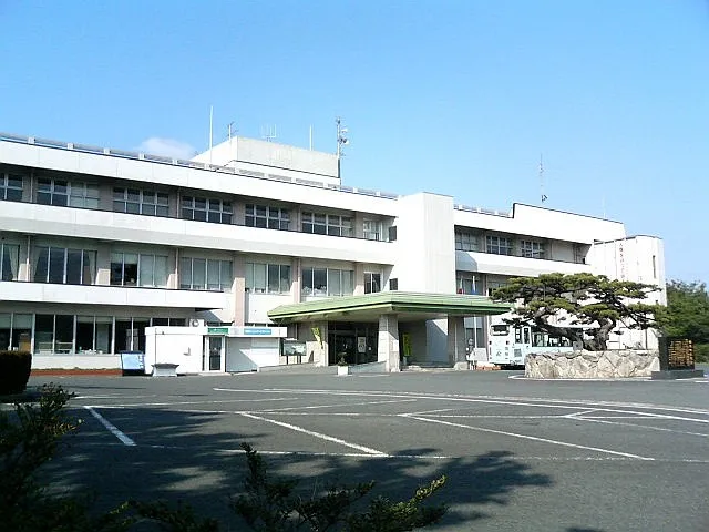 Shingū Town, Shingū-machi20 km NW
Sources & licences
Data last updated: