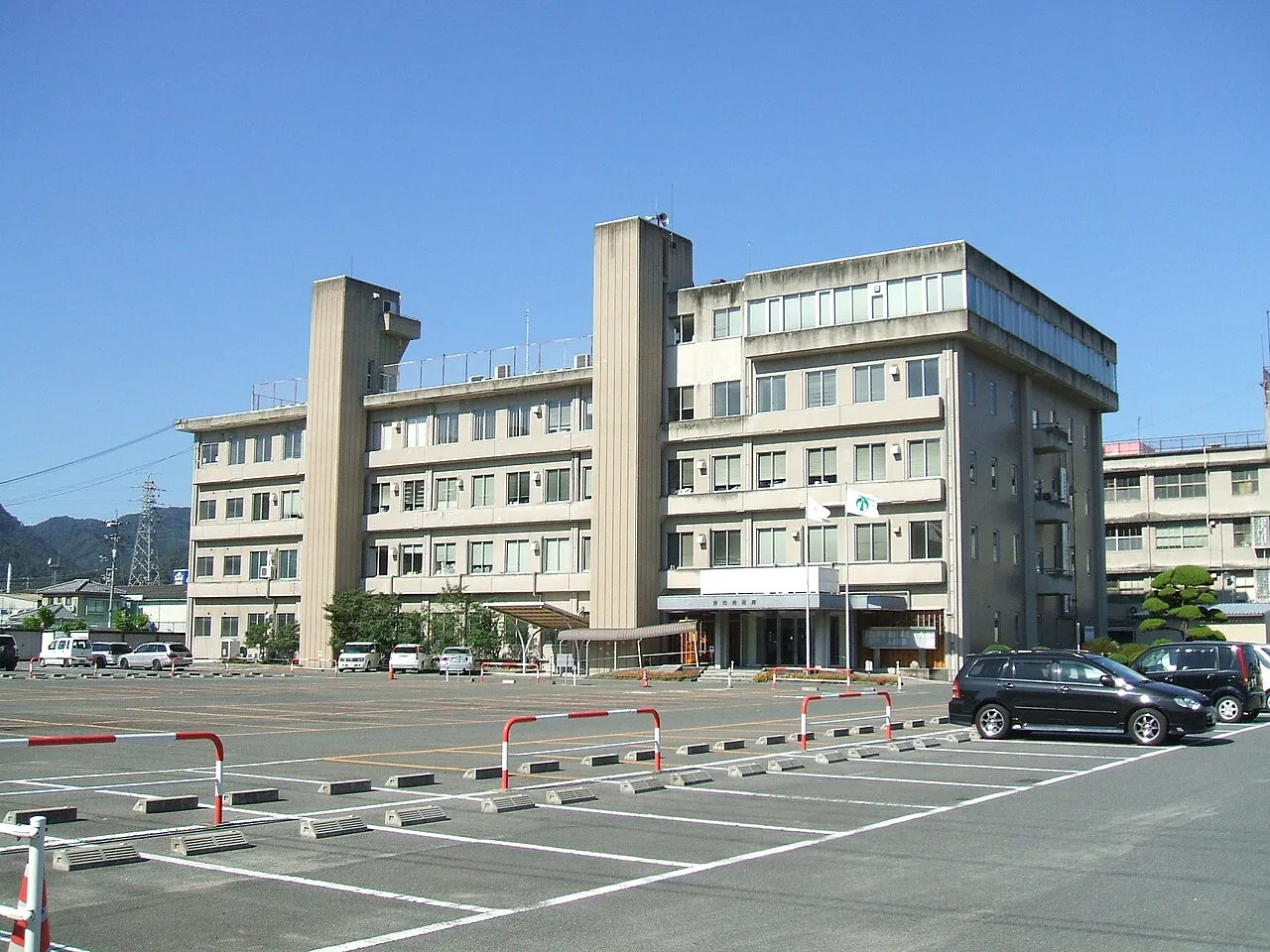
- Population
- 50,746
- 50.7K
- Elevation
- 33 m
- above sea level
- Local time
- UTC+09:00
- Asia/Tokyo · UTC+09:00
- Airports
- HIJ Hiroshima Airport33 km
- OKJ Okayama Momotaro Airport60 km
About Fuchūchō
Fuchūchō is a city. Location: Fuchū-shi, Hiroshima. Population: 50,746. Elevation: 33 m. The best months to visit are May, October. The nearest airport is Hiroshima Airport (33 km).
Climate of Fuchūchō
Best months for sightseeingBest months for sightseeing: May, October.
This month · November
Outside the best season
Day 17° · Night 8° · Rain 65 mm
Better nearby cities in November
- Kochi · 117 km south18°
- Ōita · 212 km southwest18°
- Beppu · 215 km southwest17°
- Hottest month
- August (day 32°)
- Coldest month
- January (night 1°)
- Wettest month
- June (233 mm)
- Driest month
- December (41 mm)
Bars: average monthly low and high temperature. Below: precipitation. Monthly averages for 1970–2000 at about 18 km resolution, adjusted for elevation. Highlighted months are mild and relatively dry. Source: WorldClim 2.1 (CC BY 4.0).
Show values as a table
| Month | Jan | Feb | Mar | Apr | May | Jun | Jul | Aug | Sep | Oct | Nov | Dec |
|---|---|---|---|---|---|---|---|---|---|---|---|---|
| Average high (°C) | 9° | 9° | 13° | 19° | 23° | 26° | 31° | 32° | 28° | 22° | 17° | 12° |
| Average low (°C) | 1° | 1° | 4° | 9° | 14° | 19° | 24° | 24° | 20° | 13° | 8° | 3° |
| Precipitation (mm) | 48 | 62 | 89 | 133 | 138 | 233 | 218 | 123 | 189 | 106 | 65 | 41 |
How to get to Fuchūchō
The nearest airport is Hiroshima Airport (HIJ), 33 km to the southwest as the crow flies. The nearest large city is Fukuyama, 16 km to the southeast.
Airports
- Hiroshima Airport (HIJ) Hiroshima 33 kmsouthwest
- Okayama Momotaro Airport (OKJ) Okayama 60 kmeast
- Takamatsu Airport (TAK) Takamatsu 82 kmsoutheast
Nearby large cities
- Fukuyama Population: 468.8K 16 kmsoutheast
- Onomichi Population: 131.2K 18 kmsouth
- Kurashiki Population: 483.6K 49 kmeast
- Higashihiroshima Population: 196.6K 49 kmwest
- Marugame Population: 109.5K 60 kmsoutheast
Straight-line distances; road distances are longer. Airport data: OurAirports.
Sources & licences
Data last updated: