- Population
- 97,950
- 98K
- Elevation
- 15 m
- above sea level
- Local time
- UTC+09:00
- Asia/Tokyo · UTC+09:00
- Airports
- CTS New Chitose Airport6 km
- OKD Sapporo Okadama Airport40 km
About Chitose
Chitose is a city. Location: Chitose Shi, Hokkaido. Population: 97,950. Elevation: 15 m.
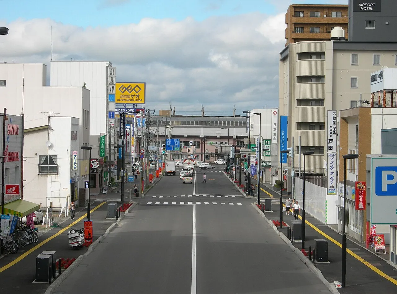
Chitose (千歳市, Chitose-shi) is a city located in Ishikari Subprefecture, Hokkaido, Japan, and home to New Chitose Airport, the biggest international airport in Hokkaido and closest airport to Sapporo, as well as the neighboring Chitose Air Base. As of February 1, 2024, the city had an estimated population of 97,919, with 52,196 households, and a population density of 165 persons per km2. The total area is 594.50 km2. The city was founded on July 1, 1958.
Source: Wikipedia · CC BY-SA 4.0
Places bordering Chitose
- Sapporo
- Eniwa-shi
- Tomakomai
- Date
- Abira
- Shiraoi
- Naganuma
- Yuni
Twin towns and sister cities of Chitose
- Anchorage· United States
- Ibusuki· Japan
Source: Wikidata. Only places with a page on this site are shown.
Population of Chitose over time
| 2008 | 92,323 | |
|---|---|---|
| 2010 | 93,604 | |
| 2015 | 95,648 | |
| 2020 | 97,945 |
Censuses and official estimates; source: Wikidata.
Climate of Chitose
Best months for sightseeingBest months for sightseeing: June–September.
This month · November
A cold month
Day 8° · Night -1° · Rain 94 mm
- Hottest month
- August (day 24°)
- Coldest month
- January (night -11°)
- Wettest month
- August (177 mm)
- Driest month
- February (53 mm)
Bars: average monthly low and high temperature. Below: precipitation. Monthly averages for 1970–2000 at about 18 km resolution, adjusted for elevation. Highlighted months are mild and relatively dry. Source: WorldClim 2.1 (CC BY 4.0).
Show values as a table
| Month | Jan | Feb | Mar | Apr | May | Jun | Jul | Aug | Sep | Oct | Nov | Dec |
|---|---|---|---|---|---|---|---|---|---|---|---|---|
| Average high (°C) | -1° | -1° | 3° | 9° | 15° | 18° | 21° | 24° | 21° | 15° | 8° | 2° |
| Average low (°C) | -11° | -10° | -5° | 1° | 6° | 11° | 15° | 17° | 12° | 5° | -1° | -7° |
| Precipitation (mm) | 64 | 53 | 62 | 78 | 93 | 91 | 133 | 177 | 157 | 111 | 94 | 72 |
Other places to visit in this season: June July August September
How to get to Chitose
The nearest airport is New Chitose Airport (CTS), 6 km to the southeast as the crow flies. The nearest large city is Tomakomai, 21 km to the south.
Airports
- New Chitose Airport (CTS) Sapporo 6 kmsoutheast
- Sapporo Okadama Airport (OKD) Sapporo 40 kmnorthwest
- Asahikawa Airport (AKJ) Higashikagura 115 kmnortheast
Nearby large cities
- Tomakomai Population: 174.8K 21 kmsouth
- Ebetsu Population: 134K 33 kmnorth
- Sapporo Population: 2M 37 kmnorthwest
- Otaru Population: 115.3K 67 kmnorthwest
- Asahikawa Population: 333.5K 120 kmnortheast
Straight-line distances; road distances are longer. Airport data: OurAirports.
Nearby attractions & nature
Everything nearby-
Mount Monbetsu Mountain, Chitose Shi21 km W
-
Mount Morappu Mountain, Chitose Shi22 km W
-
Chitose River River, Japan24 km N
Sources & licences
Data last updated: · 2 independent sources