
- Elevation
- 1,931 m
- above sea level
- Local time
- UTC+09:00
- Asia/Tokyo · UTC+09:00
- Airports
- AKJ Asahikawa Airport37 km
- MBE Monbetsu Airport80 km
About Daisetsu-zan
Daisetsu-zan is a mountain. Location: Hokkaido, Japan. Elevation: 1,931 m.
The Daisetsuzan Volcanic Group (大雪山系, Daisetsu-sankei; also called Taisetsu-zan) is a volcanic group of peaks arranged around the 2 kilometres (1.2 mi) wide Ohachi-Daira (御鉢平, Ohachi-daira) caldera in Hokkaidō, Japan. In the Ainu language it is known as Nutapukaushipe (which means "the mountain above the river"), Nutaku Kamushupe, or Optateske. These peaks are the highest in Hokkaidō. The group lends its name to the Daisetsuzan National Park in which the volcanic group is located.
Read more on Wikipedia Text: Wikipedia contributors · CC BY-SA 4.0 · shortened
At a glance
- Heritage designation
- Natural Monument of Japan, Special Natural Monument
Source: Wikidata
Climate of Daisetsu-zan
Bars: average monthly low and high temperature. Below: precipitation. Monthly averages for 1970–2000 at about 18 km resolution, adjusted for elevation. Highlighted months are mild and relatively dry. Source: WorldClim 2.1 (CC BY 4.0).
Show values as a table
| Month | Jan | Feb | Mar | Apr | May | Jun | Jul | Aug | Sep | Oct | Nov | Dec |
|---|---|---|---|---|---|---|---|---|---|---|---|---|
| Average high (°C) | -14° | -14° | -10° | -2° | 4° | 9° | 13° | 14° | 9° | 3° | -5° | -11° |
| Average low (°C) | -23° | -23° | -19° | -10° | -5° | 0° | 5° | 6° | 1° | -6° | -12° | -18° |
| Precipitation (mm) | 71 | 56 | 80 | 81 | 100 | 95 | 123 | 167 | 162 | 131 | 114 | 81 |
Airports nearest to Daisetsu-zan
- Asahikawa Airport (AKJ) Higashikagura 37 km
- Monbetsu Airport (MBE) Monbetsu 80 km
- Memanbetsu Airport (MMB) Ōzora 104 km
Straight-line distance; airports with scheduled flights only. Source: OurAirports (public domain).
Nearest towns and villages
-
Kamikawa Chō Municipality, Kamikawa-gun (Ishikari)7.9 km N
-
Higashikawa Chō Municipality, Kamikawa-gun (Ishikari)17 km W
-
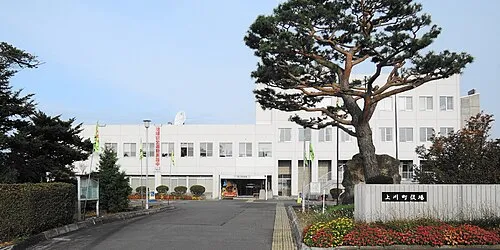 Kamikawa Town, Kamikawa Chō20 km NW
-
Biei Chō Municipality, Kamikawa-gun (Ishikari)27 km SW
-
Higashikagura Chō Municipality, Kamikawa-gun (Ishikari)33 km W
-
Tōma Chō Municipality, Kamikawa-gun (Ishikari)29 km NW
Nearby attractions & nature
Everything nearby-
 Mount Kuro Mountain, Kamikawa Chō2.4 km NE
-
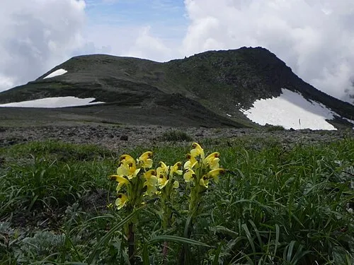 Mount Hakuun Mountain, Biei Chō2.6 km S
-
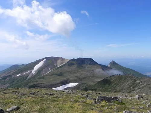 Mount Pippu Mountain, Higashikawa Chō3.4 km NW
-
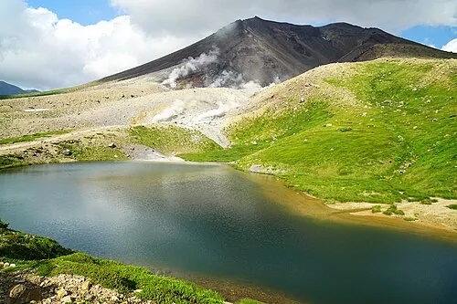 Mount Asahi Mountain, Higashikawa Chō4.2 km SW
-
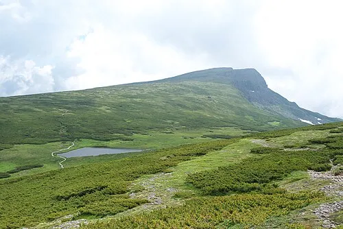 Chūbetsu-dake Mountain, Kamikawa Chō11 km S
-
Mount Numanohara Mountain, Shintoku Chō19 km S
-
Mount Otofuke Mountain, Kamikawa Chō17 km SE
-
Mount Tomuraushi Mountain, Shintoku Chō19 km S
More nature in Japan
-
Mount Ishikari Mountain, Kamikawa Chō18 km SE
-
Daisetsuzan National Park Natural site, Shintoku Chō21 km S
-
Mikuni-yama Mountain, Kamishihoro Chō22 km SE
-
 Mount Nipesotsu Mountain, Shintoku Chō27 km SE
-
Mount Midori Mountain, Engaru Chō22 km NE
-
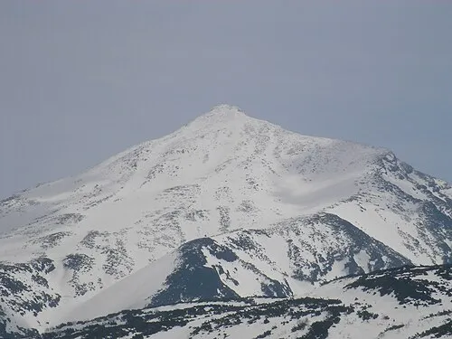 Mount Tokachi Mountain, Shintoku Chō34 km SW
Sources & licences
Data last updated: · 2 independent sources