Mount Asahi
Located in Higashikawa Chō, Kamikawa-gun (Ishikari) Coordinates: 43°39′50″ N 142°51′16″ E
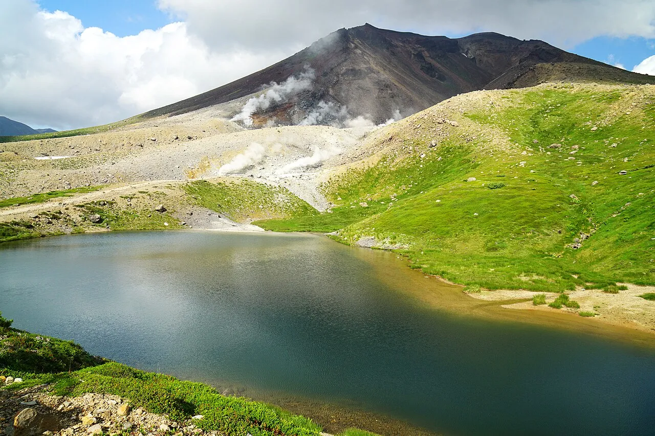
- Elevation
- 2,290 m
- above sea level
- Local time
- UTC+09:00
- Asia/Tokyo · UTC+09:00
- Airports
- AKJ Asahikawa Airport33 km
- MBE Monbetsu Airport84 km
About Mount Asahi
Mount Asahi is a mountain. Location: Higashikawa Chō, Kamikawa-gun (Ishikari). Elevation: 2,290 m.
Mount Asahi (旭岳, Asahi-dake) is a stratovolcano located near the town of Higashikawa, Hokkaido and the tallest mountain on the Japanese island of Hokkaido. It is part of the Daisetsuzan Volcanic Group of the Ishikari Mountains, located in the northern part of the Daisetsuzan National Park. Its native Ainu name is Kamui-mintara, which means "the playground of the gods". The mountain is popular with hikers in the summer and can be easily reached from Asahidake Onsen via Asahidake Ropeway.
Source: Wikipedia · CC BY-SA 4.0
Photos of Mount Asahi
-

663highland · CC BY 2.5 -

irisgazer · Public domain -

Raita Futo from Tokyo, Japan · CC BY 2.0 -

OKJaguar · CC BY-SA 4.0 -

Toshihiro Matsui · CC BY-SA 3.0


Climate of Mount Asahi
This month · November
A wet month
Day -7° · Night -14° · Rain 122 mm
- Hottest month
- August (day 12°)
- Coldest month
- February (night -26°)
- Wettest month
- August (178 mm)
- Driest month
- February (61 mm)
Bars: average monthly low and high temperature. Below: precipitation. Monthly averages for 1970–2000 at about 18 km resolution, adjusted for elevation. Highlighted months are mild and relatively dry. Source: WorldClim 2.1 (CC BY 4.0).
Show values as a table
| Month | Jan | Feb | Mar | Apr | May | Jun | Jul | Aug | Sep | Oct | Nov | Dec |
|---|---|---|---|---|---|---|---|---|---|---|---|---|
| Average high (°C) | -16° | -16° | -12° | -5° | 1° | 7° | 12° | 12° | 7° | 1° | -7° | -13° |
| Average low (°C) | -25° | -26° | -21° | -12° | -7° | -2° | 4° | 5° | -1° | -8° | -14° | -21° |
| Precipitation (mm) | 75 | 61 | 89 | 90 | 110 | 107 | 132 | 178 | 174 | 143 | 122 | 85 |
How to get to Mount Asahi
The nearest airport is Asahikawa Airport (AKJ), 33 km to the west as the crow flies. The nearest large city is Asahikawa, 41 km to the west.
Airports
- Asahikawa Airport (AKJ) Higashikagura 33 kmwest
- Monbetsu Airport (MBE) Monbetsu 84 kmnortheast
- Tokachi-Obihiro Airport (OBO) Obihiro 108 kmsouth
Nearby large cities
- Asahikawa Population: 333.5K 41 kmwest
- Kitami Population: 119.1K 85 kmeast
- Obihiro Population: 166.5K 88 kmsouth
- Ebetsu Population: 134K 122 kmsouthwest
- Sapporo Population: 2M 139 kmsouthwest
Straight-line distances; road distances are longer. Airport data: OurAirports.
Day trips from Mount Asahi
Within 100 km: 1 historic or cultural site, 39 natural sites, 5 lakes, rivers and coasts.
0–25 km12 places
- Mount Numanohara Mountain 19 kmSE
- Mount Kuro Mountain 7 kmNE
- Ishikari-sanchi Mountain 22 kmSE
- Mount Hakuun Mountain 4 kmE
25–60 km15 places
- Hokkaido Island 27 kmS
- Mount Kuma Mountain 45 kmSW
- Mount Tokachi Mountain 31 kmSW
- Mount Teshio Mountain 33 kmN
60–100 km18 places
- Ahoro Dake Mountain 100 kmE
- Mount Kyusan Mountain 89 kmS
- Mount Tsurugi Mountain 91 kmS
- Mount Santō Mountain 78 kmNW
Straight-line distances.
Nearest towns and villages
-
Kamikawa Chō Municipality, Kamikawa-gun (Ishikari)11 km NE
-
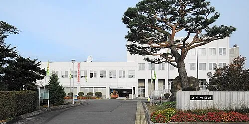 Kamikawa Town, Kamikawa Chō21 km N
-
Biei Chō Municipality, Kamikawa-gun (Ishikari)23 km SW
-
 Higashikagura Chō Municipality, Kamikawa-gun (Ishikari)29 km W
-
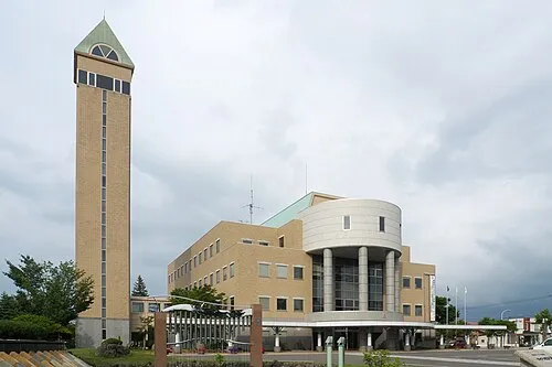 Biei Town, Biei Chō33 km W
-
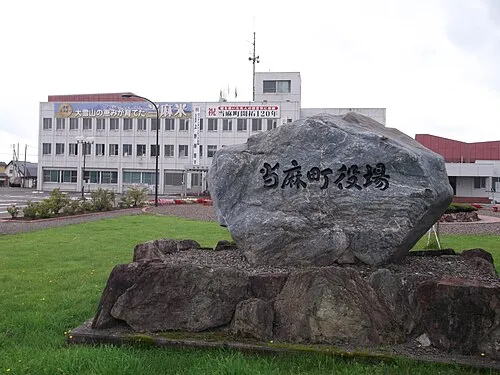 Tōma Town, Tōma Chō32 km NW
Nearby attractions & nature
Everything nearby-
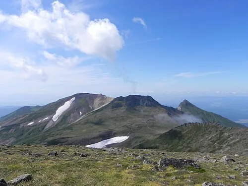 Mount Pippu Mountain, Higashikawa Chō3.9 km N
-
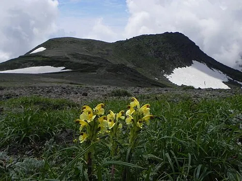 Mount Hakuun Mountain, Biei Chō4.2 km E
-
 Daisetsu-zan Mountain, Hokkaido4.2 km NE
-
 Mount Kuro Mountain, Kamikawa Chō6.5 km NE
-
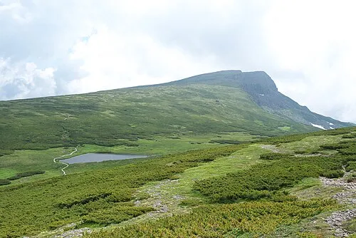 Chūbetsu-dake Mountain, Kamikawa Chō9.7 km S
-
Mount Numanohara Mountain, Shintoku Chō19 km SE
-
Mount Tomuraushi Mountain, Shintoku Chō16 km S
-
Mount Otofuke Mountain, Kamikawa Chō19 km SE
Sources & licences
Data last updated: · 2 independent sources