Biei
Local name: 美瑛町
Located in Biei Chō, Kamikawa-gun (Ishikari) Coordinates: 43°35′04″ N 142°27′35″ E
- Population
- 10,374
- 10.4K
- Elevation
- 238 m
- above sea level
- Local time
- UTC+09:00
- Asia/Tokyo · UTC+09:00
- Airports
- AKJ Asahikawa Airport10 km
- OKD Sapporo Okadama Airport102 km
About Biei
Biei is a town. Location: Biei Chō, Kamikawa-gun (Ishikari). Population: 10,374. Elevation: 238 m.
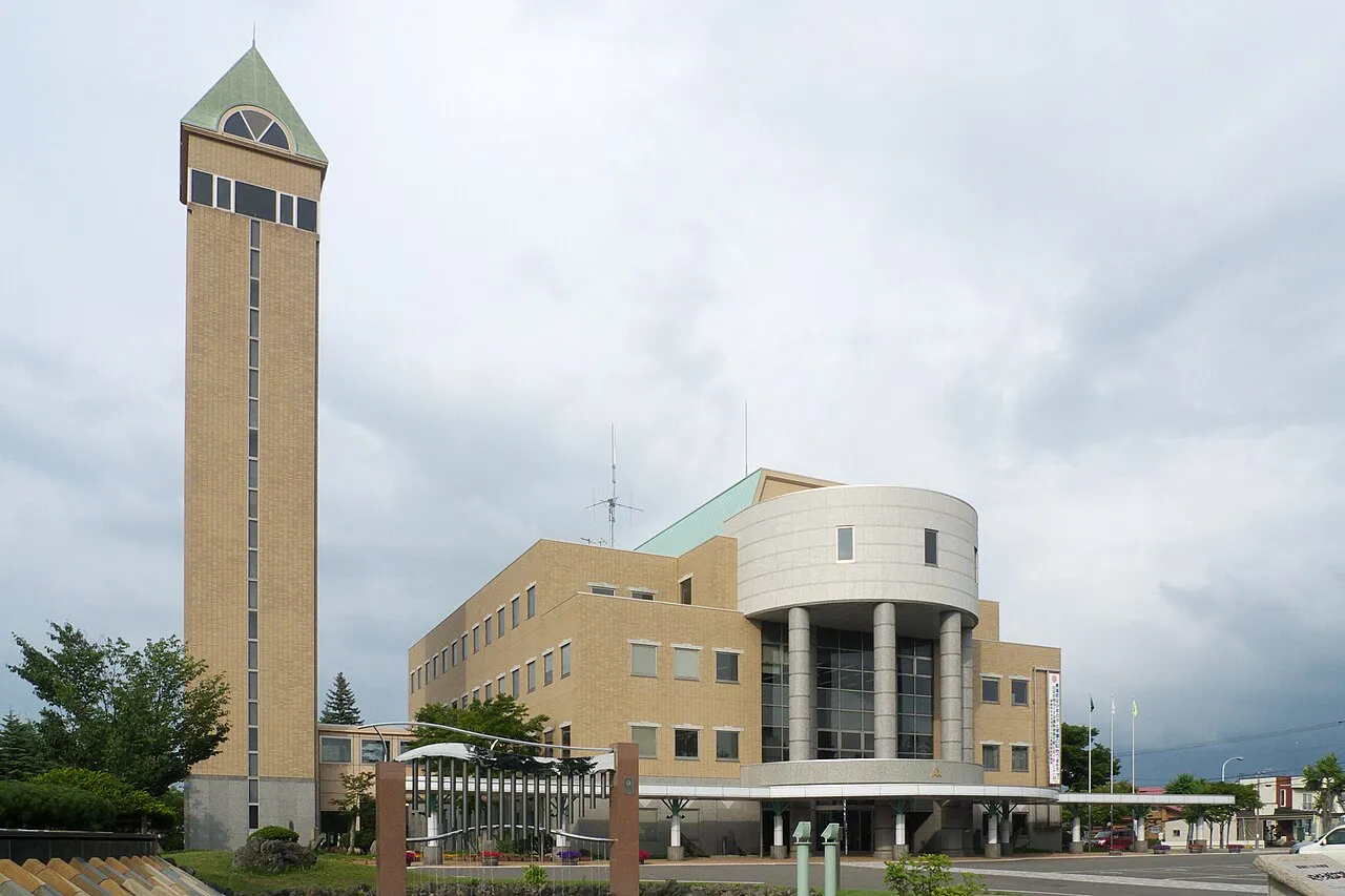
Biei (美瑛町, Biei-chō) is a town located in Kamikawa Subprefecture, Hokkaido, Japan. As of May 2024, the town has an estimated population of 9,343, and a density of 14 persons per km2. The total area is 677.16 km2.
Source: Wikipedia · CC BY-SA 4.0
Photos of Biei
-

雷太 · CC BY 2.0 -

lumoplank · CC0 -

MaedaAkihiko · CC BY-SA 4.0 -

lumoplank · CC0 -

Calistemon · CC BY-SA 4.0


Travel notes for Biei
From Wikivoyage
Biei (美瑛) is a town in Kamikawa subprefecture, Hokkaido. Beautiful flowers, rivers, trees, and snow are all what astonishes visitors. Biei is one of the most popular sightseeing spots in Hokkaido.
Understand+
Biei known as the "Hills town". It looks like a patchwork from a distance, field of different crops have been planted, called "Hills of patchwork". Many photographers gather.
Some hills were used for commercial advertising. Hill of them is named "Hill of Mild Seven", "Tree of Seven Stars", or "Tree of Ken and Mary".
Such as Shirogane hot springs, the eastern part of the town is included in the Daisetsuzan National Park.
Shiki no Johokan (四季の情報館), 1-2-14 Honmachi (in front of the Biei station), ☏ +81 166 92-4378. 08:00-19:00. Tourism information center of Biei. Staff speak English.
Tourist information site:
The local tourist association has a partly multilingual guide site.
Get in+
Biei is located between Asahikawa and Furano.
By plane:
The closest airport to Biei is in Asahikawa, about 30 minutes away by bus or car.
By train:
1 Biei Station is served by the JR Furano Line, which connects Asahikawa and Furano. Local trains run 18 round trips to Asahikawa, and 11 round trips to Furano everyday.
By bus:
The Furano Bus Company runs the "Lavender" bus 7 times daily from Asahikawa - as of 2026 this costs ¥900; from Ikutora 6 times daily, which costs ¥1200 in 2026.
Source: Wikivoyage · CC BY-SA 4.0 · abridged
Places bordering Biei
- Asahikawa
- Higashikagura Chō
- Higashikawa Chō
- Kamikawa
- Kamifurano Chō
- Nakafurano Chō
- Ashibetsu
- Shintoku
Population of Biei over time
| 2010 | 10,956 | |
|---|---|---|
| 2015 | 10,292 | |
| 2020 | 9,775 |
Censuses and official estimates; source: Wikidata.
Climate of Biei
Best months for sightseeingBest months for sightseeing: June–August.
This month · November
A wet month
Day 5° · Night -2° · Rain 100 mm
- Hottest month
- August (day 24°)
- Coldest month
- February (night -13°)
- Wettest month
- September (142 mm)
- Driest month
- February (45 mm)
Bars: average monthly low and high temperature. Below: precipitation. Monthly averages for 1970–2000 at about 18 km resolution, adjusted for elevation. Highlighted months are mild and relatively dry. Source: WorldClim 2.1 (CC BY 4.0).
Show values as a table
| Month | Jan | Feb | Mar | Apr | May | Jun | Jul | Aug | Sep | Oct | Nov | Dec |
|---|---|---|---|---|---|---|---|---|---|---|---|---|
| Average high (°C) | -4° | -3° | 1° | 9° | 16° | 20° | 24° | 24° | 20° | 13° | 5° | -1° |
| Average low (°C) | -13° | -13° | -8° | 0° | 5° | 10° | 15° | 16° | 10° | 4° | -2° | -9° |
| Precipitation (mm) | 63 | 45 | 52 | 60 | 75 | 75 | 104 | 139 | 142 | 114 | 100 | 77 |
How to get to Biei
The nearest airport is Asahikawa Airport (AKJ), 10 km to the north as the crow flies. For international flights: New Chitose Airport (CTS) (110 km). The nearest large city is Asahikawa, 22 km to the north.
Airports
- Asahikawa Airport (AKJ) Higashikagura 10 kmnorth
- Sapporo Okadama Airport (OKD) Sapporo 102 kmsouthwest
- New Chitose Airport (CTS) Sapporo 110 kmsouthwest
Nearby large cities
- Asahikawa Population: 333.5K 22 kmnorth
- Ebetsu Population: 134K 91 kmsouthwest
- Obihiro Population: 166.5K 96 kmsoutheast
- Sapporo Population: 2M 107 kmsouthwest
- Kitami Population: 119.1K 118 kmeast
Straight-line distances; road distances are longer. Airport data: OurAirports.
Day trips from Biei
Within 100 km: 1 historic or cultural site, 46 natural sites, 7 lakes, rivers and coasts.
0–25 km4 places
- Mount Rubeshibe Mountain 11 kmW
- Mount Oputateshike Mountain 21 kmSE
- Mount Kuma Mountain 13 kmSW
- Asahiyama Zoo Attraction 21 kmN
25–60 km25 places
- Hokkaido Island 42 kmSE
- Mount Midori Mountain 58 kmNE
- Mount Tomamu Mountain 57 kmS
- Mount Sahoro Mountain 53 kmSE
60–100 km25 places
- Mount Poroshiri Mountain 98 kmS
- Mount Kyusan Mountain 86 kmS
- Mount Tsurugi Mountain 89 kmSE
- Mount Tottabetsu Mountain 96 kmS
Straight-line distances.
Nearby attractions & nature
Everything nearby-
Mount Rubeshibe Mountain, Biei Chō11 km W
-
Mount Kuma Mountain, Ashibetsu13 km SW
-
 Mount Oputateshike Mountain, Japan21 km SE
-
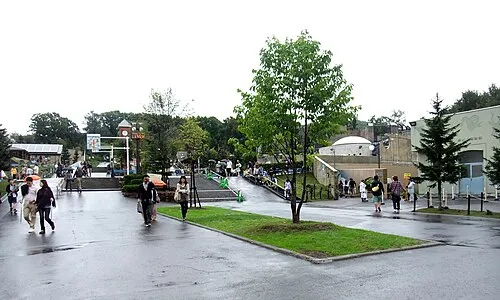 Asahiyama Zoo Attraction, Asahikawa City21 km N
Sources & licences
Data last updated: · 2 independent sources