Biei Chō
Located in Kamikawa-gun (Ishikari), Hokkaido Coordinates: 43°33′29″ N 142°36′43″ E
- Population
- 10,681
- 10.7K
- Elevation
- 504 m
- above sea level
- Local time
- UTC+09:00
- Asia/Tokyo · UTC+09:00
- Places inside
- 3
- listed under Biei Chō
- Airports
- AKJ Asahikawa Airport18 km
- OBO Tokachi-Obihiro Airport104 km
About Biei Chō
Biei Chō is a municipality. Location: Kamikawa-gun (Ishikari), Hokkaido. Population: 10,681. Elevation: 504 m. The best months to visit are June–August. The nearest airport is Asahikawa Airport (18 km). Nearby sights include Mount Tokachi and Mount Asahi.
Photos of Biei Chō
-
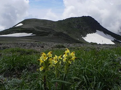
Mount Hakuun pakku · CC BY 3.0

Climate of Biei Chō
Best months for sightseeingBest months for sightseeing: June–August.
This month · November
A wet month
Day 4° · Night -4° · Rain 101 mm
- Hottest month
- August (day 23°)
- Coldest month
- February (night -15°)
- Wettest month
- September (145 mm)
- Driest month
- February (45 mm)
Bars: average monthly low and high temperature. Below: precipitation. Monthly averages for 1970–2000 at about 18 km resolution, adjusted for elevation. Highlighted months are mild and relatively dry. Source: WorldClim 2.1 (CC BY 4.0).
Show values as a table
| Month | Jan | Feb | Mar | Apr | May | Jun | Jul | Aug | Sep | Oct | Nov | Dec |
|---|---|---|---|---|---|---|---|---|---|---|---|---|
| Average high (°C) | -6° | -5° | -1° | 7° | 14° | 18° | 22° | 23° | 18° | 12° | 4° | -3° |
| Average low (°C) | -15° | -15° | -10° | -2° | 4° | 9° | 13° | 14° | 9° | 2° | -4° | -10° |
| Precipitation (mm) | 62 | 45 | 56 | 65 | 79 | 78 | 107 | 143 | 145 | 117 | 101 | 74 |
How to get to Biei Chō
The nearest airport is Asahikawa Airport (AKJ), 18 km to the northwest as the crow flies. The nearest large city is Asahikawa, 31 km to the northwest.
Airports
- Asahikawa Airport (AKJ) Higashikagura 18 kmnorthwest
- Tokachi-Obihiro Airport (OBO) Obihiro 104 kmsoutheast
- Monbetsu Airport (MBE) Monbetsu 104 kmnortheast
Nearby large cities
- Asahikawa Population: 333.5K 31 kmnorthwest
- Obihiro Population: 166.5K 86 kmsoutheast
- Ebetsu Population: 134K 100 kmsouthwest
- Kitami Population: 119.1K 107 kmeast
- Sapporo Population: 2M 116 kmsouthwest
Straight-line distances; road distances are longer. Airport data: OurAirports.
Day trips from Biei Chō
Within 100 km: 1 historic or cultural site, 47 natural sites, 4 lakes, rivers and coasts.
0–25 km8 places
- Mount Rubeshibe Mountain 23 kmW
- Mount Asahi Mountain 23 kmNE
- Mount Oputateshike Mountain 12 kmS
- Mount Tomuraushi Mountain 20 kmE
25–60 km22 places
- Hokkaido Island 30 kmSE
- Mount Midori Mountain 49 kmNE
- Mount Tomamu Mountain 53 kmS
- Mount Sahoro Mountain 46 kmS
60–100 km22 places
- Kitami Sanchi Mountain 90 kmN
- Mount Fushimi Mountain 88 kmS
- Mount Memuro Mountain 78 kmS
- Mount Shokanbetsu Mountain 87 kmW
Straight-line distances.
Places in Biei Chō
3 places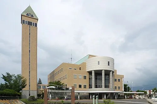
Biei
Population: 10.4K
-
Nearby attractions & nature
Everything nearby-
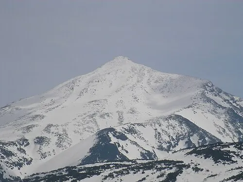 Mount Tokachi Mountain, Shintoku Chō17 km S
-
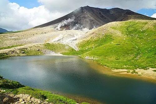 Mount Asahi Mountain, Higashikawa Chō23 km NE
-
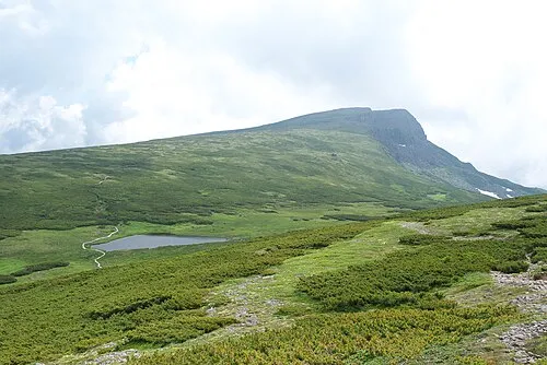 Chūbetsu-dake Mountain, Kamikawa Chō23 km E
-
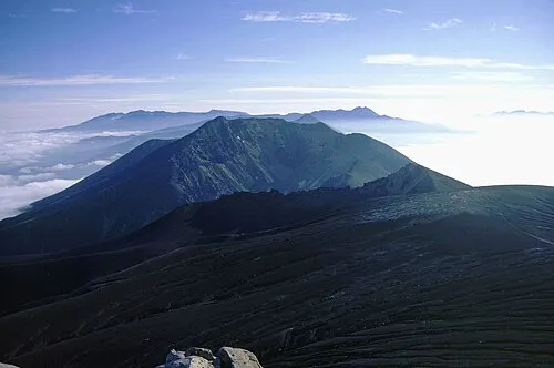 Mount Biei Mountain, Shintoku Chō16 km SE
-
 Mount Oputateshike Mountain, Japan12 km S
-
Mount Kuma Mountain, Ashibetsu22 km W
-
Mount Tomuraushi Mountain, Shintoku Chō20 km E
Other cities and towns in Kamikawa-gun (Ishikari)
-
Kamikawa Chō Municipality, Kamikawa-gun (Ishikari)33 km NE
-
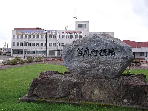 Tōma Town, Tōma Chō30 km N
-
Aibetsu Chō Municipality, Kamikawa-gun (Ishikari)43 km N
-
Tōma Chō Municipality, Kamikawa-gun (Ishikari)29 km N
-
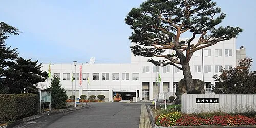 Kamikawa Town, Kamikawa Chō34 km N
-
Takasu Chō Municipality, Kamikawa-gun (Ishikari)43 km NW
Sources & licences
Data last updated: