Kamikawa
Local name: 上川町
Located in Kamikawa Chō, Kamikawa-gun (Ishikari) Coordinates: 43°50′24″ N 142°46′16″ E
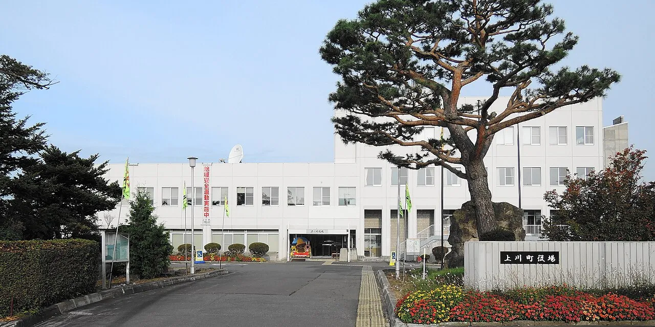
- Population
- 5,294
- 5.3K
- Elevation
- 332 m
- above sea level
- Local time
- UTC+09:00
- Asia/Tokyo · UTC+09:00
- Airports
- AKJ Asahikawa Airport32 km
- MBE Monbetsu Airport72 km
About Kamikawa
Kamikawa is a town. Location: Kamikawa Chō, Kamikawa-gun (Ishikari). Population: 5,294. Elevation: 332 m.
Kamikawa (上川町, Kamikawa-chō) is a town located in Kamikawa Subprefecture, Hokkaido, Japan. As of December 31, 2017, the town has an estimated population of 3,706, and a density of 3.53 persons per km2. The total area is 1,049.24 km2. The town is approximately 30 minutes by bus or car from Sōunkyō Onsen and other tourist attractions which make up Daisetsuzan National Park. The Ishikari River, the longest river in Hokkaido, flows from here. The town also prides itself on "the most delicious ramen in Japan".
Source: Wikipedia · CC BY-SA 4.0
At a glance
- Built
- 1924
- Area
- 1,050 km²
- Official website
- town.hokkaido-kamikawa.lg.jp
Source: Wikidata
Photos of Kamikawa
-

RJD · CC BY 3.0 -

Nesnad · CC BY 4.0 -

RJD · CC BY 3.0


Travel notes for Kamikawa
From Wikivoyage
Kamikawa (上川) is a small town that shares its name with Kamikawa Subprefecture in Hokkaido's Northern Circuit.
Understand+
Kamikawa is situated in a steep-sided valley carved through Taisetsu Highlands by the Ishikari River. The town fell into a steady decline after its heavy industries shuttered in the 1970s. However, Kamikawa is now enjoying a recovery thanks emerging small-scale industries and an influx of visitors to the neighbouring Daisetsuzan National Park. While not a major destination in itself, Kamikawa is a useful transit point and makes for a pleasant place to break up a journey and stock up on food or gas before heading to Sounkyo Onsen or destinations further east.
The town government's official site has a Japanese-only tourism section with integrated Google Translate.
Get in+
By train:
Kamikawa Station is served by the Sekihoku Main Line with regular local trains to Asahikawa Station. There are also express services to Sapporo and Abashiri at least once daily. Kamikawa Station is the main point of access for rail passengers visiting Sounkyo Onsen and the northern section of Daisetsuzan National Park.
By bus:
All public buses running the route from Asahikawa to Sounkyo Onsen make a stop at Kamikawa Station. Some buses from Sapporo and Asahikawa to Monbetsu, Engaru, and Kitami in the Okhotsk region make scheduled stops in Kamikawa as well. These buses may only allow customers to board (and not disembark) at intermediary stops or vice-versa. Please confirm with the bus company before planning your itinerary.
By car:
Kamikawa is on a toll-free portion of the Asahikawa-Monbetsu Expressway. The town is also served by Japan National Route 39.
By bicycle:
The incomplete Asahikawa Sounkyo Bicycle Path passes through Kamikawa. In some sections it is merged with Japan National Route 39.
Source: Wikivoyage · CC BY-SA 4.0 · abridged
Places bordering Kamikawa
- Asahikawa
- Shibetsu
- Biei
- Higashikawa Chō
- Tōma
- Aibetsu Chō
- Kitami
- Takinoue Chō
- Engaru Chō
- Kamishihoro Chō
- Shintoku
Population of Kamikawa over time
| 2010 | 4,532 | |
|---|---|---|
| 2015 | 4,044 | |
| 2020 | 3,398 |
Censuses and official estimates; source: Wikidata.
Climate of Kamikawa
Best months for sightseeingBest months for sightseeing: June–August.
This month · November
A wet month
Day 5° · Night -3° · Rain 109 mm
- Hottest month
- August (day 23°)
- Coldest month
- February (night -14°)
- Wettest month
- August (151 mm)
- Driest month
- February (50 mm)
Bars: average monthly low and high temperature. Below: precipitation. Monthly averages for 1970–2000 at about 18 km resolution, adjusted for elevation. Highlighted months are mild and relatively dry. Source: WorldClim 2.1 (CC BY 4.0).
Show values as a table
| Month | Jan | Feb | Mar | Apr | May | Jun | Jul | Aug | Sep | Oct | Nov | Dec |
|---|---|---|---|---|---|---|---|---|---|---|---|---|
| Average high (°C) | -5° | -4° | 0° | 7° | 14° | 19° | 23° | 23° | 19° | 13° | 5° | -1° |
| Average low (°C) | -13° | -14° | -9° | -1° | 5° | 10° | 15° | 16° | 10° | 3° | -3° | -9° |
| Precipitation (mm) | 67 | 50 | 66 | 70 | 84 | 81 | 109 | 151 | 149 | 126 | 109 | 80 |
How to get to Kamikawa
The nearest airport is Asahikawa Airport (AKJ), 32 km to the southwest as the crow flies. The nearest large city is Asahikawa, 34 km to the west.
Airports
- Asahikawa Airport (AKJ) Higashikagura 32 kmsouthwest
- Monbetsu Airport (MBE) Monbetsu 72 kmnortheast
- Memanbetsu Airport (MMB) Ōzora 112 kmeast
Nearby large cities
- Asahikawa Population: 333.5K 34 kmwest
- Kitami Population: 119.1K 90 kmeast
- Obihiro Population: 166.5K 108 kmsouth
- Ebetsu Population: 134K 128 kmsouthwest
- Sapporo Population: 2M 144 kmsouthwest
Straight-line distances; road distances are longer. Airport data: OurAirports.
Day trips from Kamikawa
Within 100 km: 1 historic or cultural site, 36 natural sites, 6 lakes, rivers and coasts.
0–25 km9 places
- Daisetsu-zan Mountain 20 kmSE
- Mount Asahi Mountain 21 kmS
- Mount Aibetsu Mountain 12 kmNW
- Mount Teshio Mountain 17 kmNE
25–60 km21 places
- Hokkaido Island 47 kmS
- Mount Kuma Mountain 51 kmSW
- Mount Midori Mountain 28 kmE
- Mount Rubeshibe Mountain 48 kmSW
60–100 km13 places
- Mount Santō Mountain 62 kmNW
- Mount Tomamu Mountain 85 kmS
- Mount Sahoro Mountain 75 kmS
- Yubetsu River River 81 kmNE
Straight-line distances.
Nearby attractions & nature
Everything nearby-
 Mount Kuro Mountain, Kamikawa Chō20 km SE
-
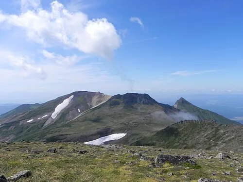 Mount Pippu Mountain, Higashikawa Chō17 km SE
-
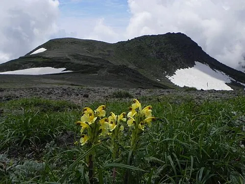 Mount Hakuun Mountain, Biei Chō23 km SE
-
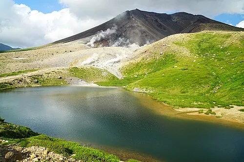 Mount Asahi Mountain, Higashikawa Chō21 km S
-
Mount Aibetsu Mountain, Aibetsu Chō12 km NW
-
Mount Chitokaniushi Mountain, Kamikawa Chō23 km E
-
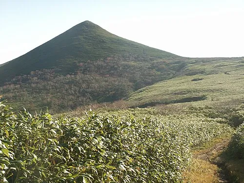 Mount Teshio Mountain, Takinoue Chō17 km NE
-
 Daisetsu-zan Mountain, Hokkaido20 km SE
Sources & licences
Data last updated: · 2 independent sources