Furano Shi
Local name: 富良野市
Located in Hokkaido, Japan Coordinates: 43°16′55″ N 142°28′25″ E
- Population
- 23,579
- 23.6K
- Elevation
- 380 m
- above sea level
- Local time
- UTC+09:00
- Asia/Tokyo · UTC+09:00
- Places inside
- 2
- listed under Furano Shi
- Airports
- AKJ Asahikawa Airport43 km
- CTS New Chitose Airport85 km
About Furano Shi
Furano Shi is a district. Location: Hokkaido, Japan. Population: 23,579.
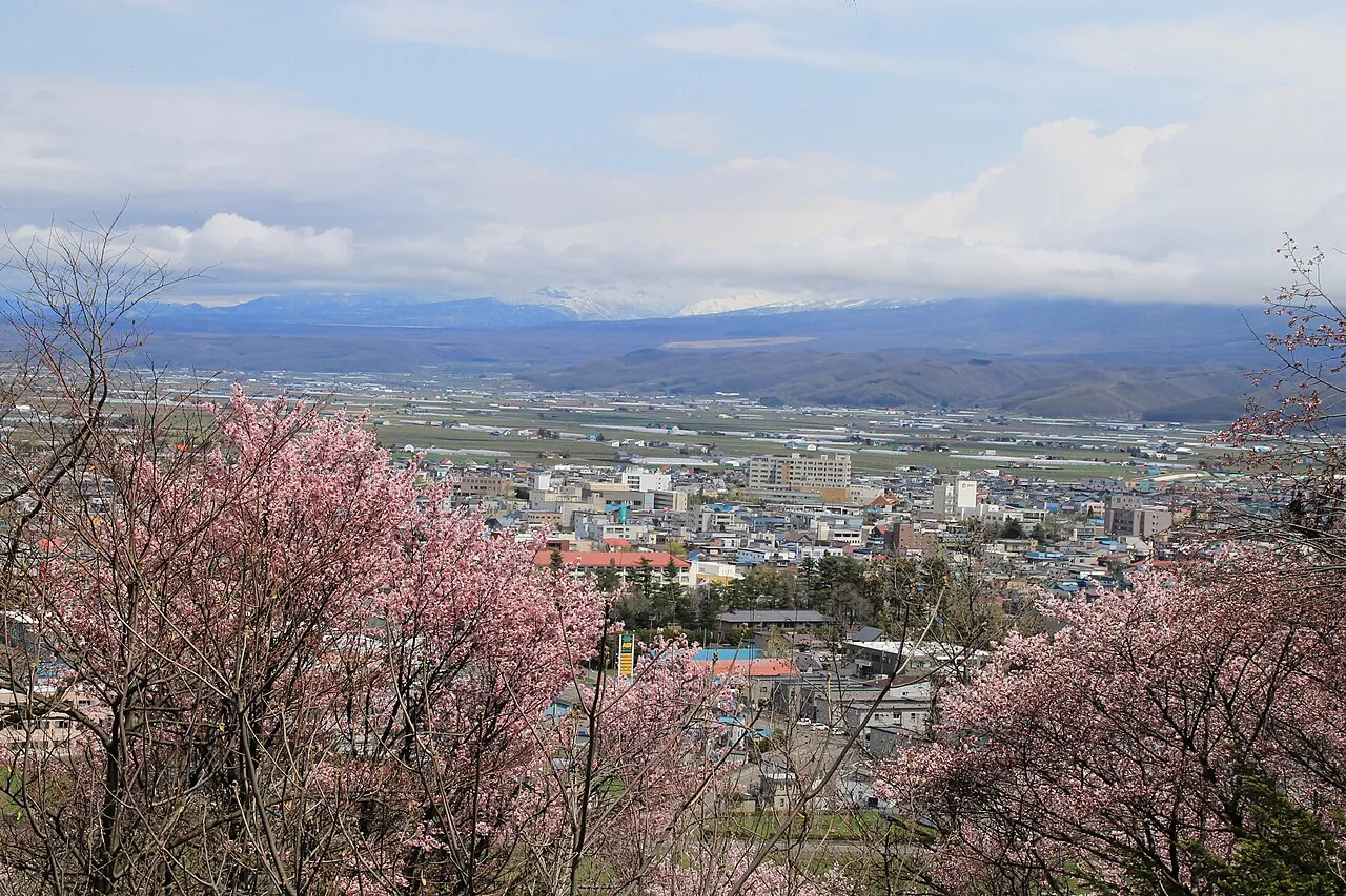
Furano (富良野市, Furano-shi) is a city in the prefecture of Hokkaido, Japan, located in the southern reaches of Kamikawa Subprefecture, under whose jurisdiction it resides. Well known throughout Japan as a tourist destination, it is famous for its lavender fields, the television drama Kita no Kuni kara, and the Furano Ski Resort, which hosted the Snowboarding World Cup in recent years. As of September 2016, the city has an estimated population of 22,715 and a density of 38 persons per km2 (98 persons per sq. mi.).
Source: Wikipedia · CC BY-SA 4.0
Places bordering Furano Shi
- Kamifurano Chō
- Nakafurano Chō
- Minamifurano Chō
- Ashibetsu
Twin towns and sister cities of Furano Shi
- Nishiwaki· Japan
Source: Wikidata. Only places with a page on this site are shown.
Population of Furano Shi over time
| 2010 | 24,259 | |
|---|---|---|
| 2015 | 22,936 | |
| 2020 | 21,071 |
Censuses and official estimates; source: Wikidata.
Climate of Furano Shi
Best months for sightseeingBest months for sightseeing: June–August.
This month · November
A cold month
Day 5° · Night -3° · Rain 95 mm
- Hottest month
- August (day 23°)
- Coldest month
- January (night -14°)
- Wettest month
- September (145 mm)
- Driest month
- February (45 mm)
Bars: average monthly low and high temperature. Below: precipitation. Monthly averages for 1970–2000 at about 18 km resolution, adjusted for elevation. Highlighted months are mild and relatively dry. Source: WorldClim 2.1 (CC BY 4.0).
Show values as a table
| Month | Jan | Feb | Mar | Apr | May | Jun | Jul | Aug | Sep | Oct | Nov | Dec |
|---|---|---|---|---|---|---|---|---|---|---|---|---|
| Average high (°C) | -4° | -3° | 1° | 8° | 14° | 19° | 22° | 23° | 19° | 13° | 5° | -1° |
| Average low (°C) | -14° | -14° | -9° | -1° | 5° | 9° | 14° | 15° | 10° | 3° | -3° | -9° |
| Precipitation (mm) | 61 | 45 | 54 | 64 | 79 | 79 | 109 | 140 | 145 | 115 | 95 | 70 |
How to get to Furano Shi
The nearest airport is Asahikawa Airport (AKJ), 43 km to the north as the crow flies. For international flights: New Chitose Airport (CTS) (85 km). The nearest large city is Asahikawa, 55 km to the north.
Airports
- Asahikawa Airport (AKJ) Higashikagura 43 kmnorth
- New Chitose Airport (CTS) Sapporo 85 kmsouthwest
- Tokachi-Obihiro Airport (OBO) Obihiro 86 kmsoutheast
Nearby large cities
- Asahikawa Population: 333.5K 55 kmnorth
- Obihiro Population: 166.5K 72 kmsoutheast
- Ebetsu Population: 134K 77 kmwest
- Sapporo Population: 2M 94 kmwest
- Tomakomai Population: 174.8K 101 kmsouthwest
Straight-line distances; road distances are longer. Airport data: OurAirports.
Places in Furano Shi
2 placesShimo-furano
Population: 25.9K
Furano
Population: 21.1K
Nearby attractions & nature
Everything nearby-
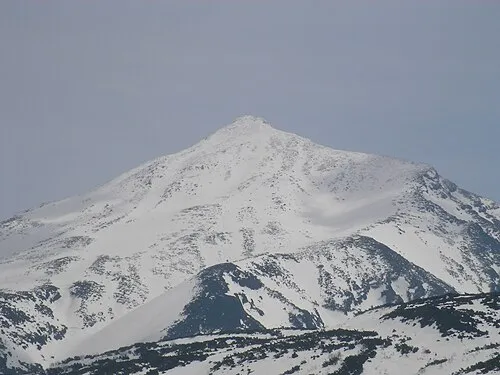 Mount Tokachi Mountain, Shintoku Chō23 km NE
-
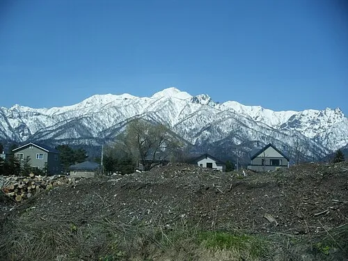 Mount Ashibetsu Mountain, Minamifurano Chō16 km W
-
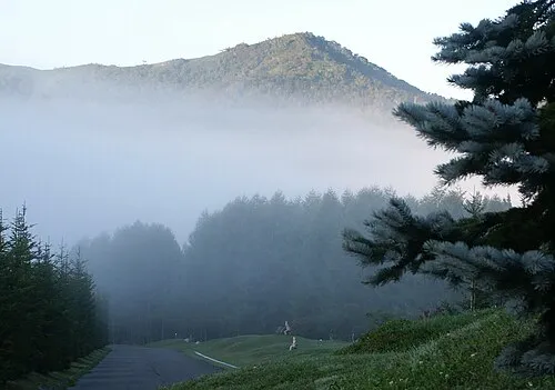 Mount Tomamu Mountain, Minamifurano Chō24 km SE
-
 Mount Oputateshike Mountain, Japan24 km NE
Sources & licences
Data last updated: · 2 independent sources