- Elevation
- 610 m
- above sea level
- Local time
- UTC+09:00
- Asia/Tokyo · UTC+09:00
- Places inside
- 2
- listed under Menashi-gun
- Airports
- SHB Nakashibetsu Airport54 km
- MMB Memanbetsu Airport81 km
About Menashi-gun
Menashi-gun is a district. Location: Hokkaido, Japan.
Menashi (目梨郡, Menashi-gun) is a district located in Nemuro Subprefecture, Hokkaido, Japan. As of 2010, its population is estimated at 6,069 and its area is 397.88 km2, with a population density of 15.3/km2 (according to the Basic Resident Register 住民基本台帳, 31 March 2010.) The origin of the name "Menashi" comes from the Ainu word menashi, meaning "to the east". The local government in Nemuro, which includes Shiretoko and The Northern Territories, decided to name the whole region "Menashi".
Source: Wikipedia · CC BY-SA 4.0
At a glance
- Built
- 1879
- Area
- 398 km²
Source: Wikidata
Climate of Menashi-gun
Best months for sightseeingBest months for sightseeing: July–August.
This month · November
A cold month
Day 4° · Night -2° · Rain 91 mm
- Hottest month
- August (day 19°)
- Coldest month
- February (night -12°)
- Wettest month
- September (161 mm)
- Driest month
- February (49 mm)
Bars: average monthly low and high temperature. Below: precipitation. Monthly averages for 1970–2000 at about 18 km resolution, adjusted for elevation. Highlighted months are mild and relatively dry. Source: WorldClim 2.1 (CC BY 4.0).
Show values as a table
| Month | Jan | Feb | Mar | Apr | May | Jun | Jul | Aug | Sep | Oct | Nov | Dec |
|---|---|---|---|---|---|---|---|---|---|---|---|---|
| Average high (°C) | -6° | -6° | -3° | 3° | 9° | 13° | 17° | 19° | 16° | 11° | 4° | -3° |
| Average low (°C) | -11° | -12° | -8° | -2° | 3° | 7° | 12° | 14° | 11° | 5° | -2° | -8° |
| Precipitation (mm) | 67 | 49 | 77 | 79 | 95 | 84 | 98 | 127 | 161 | 124 | 91 | 62 |
How to get to Menashi-gun
The nearest airport is Nakashibetsu Airport (SHB), 54 km to the south as the crow flies. The nearest large city is Kitami, 104 km to the west.
Airports
- Nakashibetsu Airport (SHB) Nakashibetsu 54 kmsouth
- Memanbetsu Airport (MMB) Ōzora 81 kmwest
- Kushiro Airport (KUH) Kushiro 136 kmsouthwest
Nearby large cities
- Kitami Population: 119.1K 104 kmwest
- Kushiro Population: 167.9K 134 kmsouthwest
- Obihiro Population: 166.5K 201 kmsouthwest
- Asahikawa Population: 333.5K 225 kmwest
- Ebetsu Population: 134K 308 kmwest
Straight-line distances; road distances are longer. Airport data: OurAirports.
Places in Menashi-gun
2 placesRausu Chō
Population: 5.8K

Nature and heritage in Menashi-gun
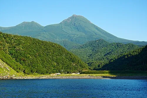
Nearby attractions & nature
Everything nearby-
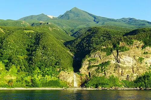 Mount Iō Mountain, Shari Chō9.6 km N
-
Mount Minami Mountain, Shari Chō7.3 km N
-
Mount Chinishibetsu Mountain, Shari Chō7.7 km W
-
 Shiretoko Peninsula Natural site, Hokkaido12 km SW
-
Mount Chienbetsu Mountain, Shari Chō8.8 km N
-
Mount Higashi Mountain, Shari Chō9.5 km N
Sources & licences
Data last updated: · 2 independent sources