- Elevation
- 967 m
- above sea level
- Local time
- UTC+09:00
- Asia/Tokyo · UTC+09:00
- Airports
- MBE Monbetsu Airport67 km
- AKJ Asahikawa Airport86 km
About Mount Piyashiri
Mount Piyashiri is a mountain. Location: Monbetsu Gun, Hokkaido. Elevation: 967 m. The best months to visit are July–August. The nearest airport is Monbetsu Airport (67 km).
Climate of Mount Piyashiri
Best months for sightseeingBest months for sightseeing: July–August.
This month · November
A wet month
Day 0° · Night -7° · Rain 113 mm
- Hottest month
- August (day 19°)
- Coldest month
- February (night -18°)
- Wettest month
- August (149 mm)
- Driest month
- February (53 mm)
Bars: average monthly low and high temperature. Below: precipitation. Monthly averages for 1970–2000 at about 18 km resolution, adjusted for elevation. Highlighted months are mild and relatively dry. Source: WorldClim 2.1 (CC BY 4.0).
Show values as a table
| Month | Jan | Feb | Mar | Apr | May | Jun | Jul | Aug | Sep | Oct | Nov | Dec |
|---|---|---|---|---|---|---|---|---|---|---|---|---|
| Average high (°C) | -10° | -9° | -4° | 3° | 9° | 13° | 17° | 19° | 14° | 8° | 0° | -6° |
| Average low (°C) | -17° | -18° | -13° | -5° | 0° | 5° | 10° | 11° | 6° | -1° | -7° | -13° |
| Precipitation (mm) | 74 | 53 | 65 | 66 | 80 | 78 | 105 | 149 | 145 | 126 | 113 | 89 |
How to get to Mount Piyashiri
The nearest airport is Monbetsu Airport (MBE), 67 km to the east as the crow flies. The nearest large city is Asahikawa, 76 km to the south.
Airports
- Monbetsu Airport (MBE) Monbetsu 67 kmeast
- Asahikawa Airport (AKJ) Higashikagura 86 kmsouth
- Wakkanai Airport (WKJ) Wakkanai 124 kmnorthwest
Nearby large cities
- Asahikawa Population: 333.5K 76 kmsouth
- Kitami Population: 119.1K 126 kmsoutheast
- Ebetsu Population: 134K 169 kmsouthwest
- Obihiro Population: 166.5K 176 kmsouth
- Sapporo Population: 2M 182 kmsouthwest
Straight-line distances; road distances are longer. Airport data: OurAirports.
Nearest towns and villages
-
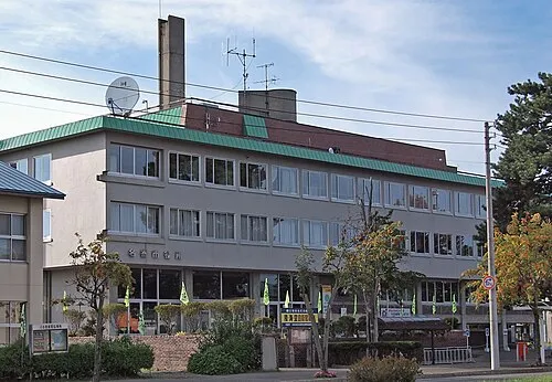 Nayoro City, Nayoro Shi14 km SW
-
Shimokawa Chō Municipality, Kamikawa-gun (Teshio no kuni)17 km SE
-
Bifuka Chō Municipality, Nakagawa Gun19 km NW
-
Piuka Village, Bifuka Chō20 km W
-
Shimokawa Village, Shimokawa Chō22 km S
-
Nishiokoppe Mura Municipality, Monbetsu Gun30 km SE
More nature in Japan
-
Mount Uenshiri Mountain, Takinoue Chō33 km SE
-
Shokotsu-dake Mountain, Takinoue Chō51 km SE
-
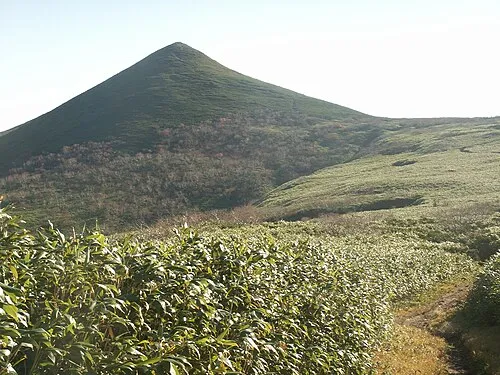 Mount Teshio Mountain, Takinoue Chō58 km SE
-
Kitami Fuji Mountain, Engaru Chō65 km SE
-
Mount Midori Mountain, Engaru Chō83 km SE
Sources & licences
Data last updated: · 2 independent sources