- Population
- 27,282
- 27.3K
- Elevation
- 97 m
- above sea level
- Local time
- UTC+09:00
- Asia/Tokyo · UTC+09:00
- Airports
- AKJ Asahikawa Airport76 km
- MBE Monbetsu Airport76 km
About Nayoro
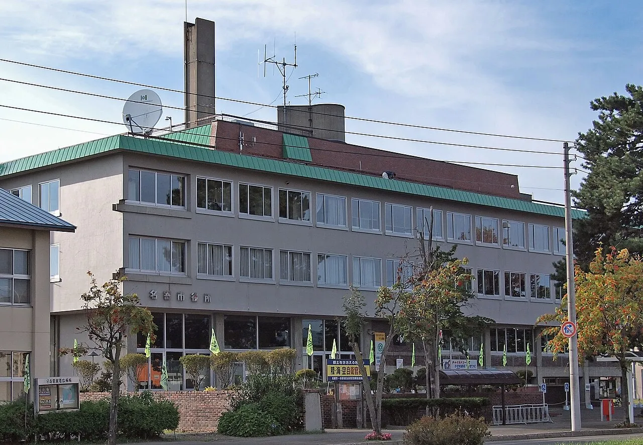
Nayoro is a city. Location: Nayoro Shi, Hokkaido. Population: 27,282. Elevation: 97 m.
Nayoro (名寄市, Nayoro-shi; Japanese pronunciation: [nä̀.jó̞.ɾó̞(.ɕì), nä́.jò̞.ɾò̞], locally [nä̀.jó̞.ɾó̞], Ainu: Nay Oro lit. 'in the middle of the valley') is a city in Kamikawa Subprefecture, Hokkaido, Japan. As of 31 January 2025, the city had an estimated population of 24,702, and a population density of 46 people per km2. The total area of the city is 534.861 km2 (206.511 sq mi).
Source: Wikipedia · CC BY-SA 4.0
Photos of Nayoro
-

Ozizo · Public domain -

RJD · CC BY 3.0 -

inunami · CC BY 2.0 -

Soica2001 · Public domain -

イトユラ · CC BY-SA 4.0


Travel notes for Nayoro
From Wikivoyage
Nayoro (名寄) is a small city in Kamikawa, Hokkaido.
Understand+
Tourist information site:
The local tourist association has an unexpectedly multilingual guide site.
The local tourist association has a Japanese-only guide site.
Get in+
By train:
JR Soya main Line from Asahikawa to Sapporo.
By bus:
Highway bus from Sapporo with 4 round trips every day. There are other bus services from Asahikawa, Okoppe and Horokanai.
By car:
National Route 40 passes through the city on its way from Asahikawa to Wakkanai.
Source: Wikivoyage · CC BY-SA 4.0 · abridged
Places bordering Nayoro
- Shibetsu
- Piuka
- Shimokawa Chō
- Horokanai
Twin towns and sister cities of Nayoro
- Tsuruoka· Japan
- Suginami-ku· Japan
Source: Wikidata. Only places with a page on this site are shown.
Population of Nayoro over time
| 2010 | 30,591 | |
|---|---|---|
| 2015 | 29,048 | |
| 2020 | 27,062 |
Censuses and official estimates; source: Wikidata.
Climate of Nayoro
Best months for sightseeingBest months for sightseeing: June–August.
This month · November
A wet month
Day 5° · Night -2° · Rain 115 mm
- Hottest month
- August (day 24°)
- Coldest month
- February (night -13°)
- Wettest month
- August (141 mm)
- Driest month
- February (52 mm)
Bars: average monthly low and high temperature. Below: precipitation. Monthly averages for 1970–2000 at about 18 km resolution, adjusted for elevation. Highlighted months are mild and relatively dry. Source: WorldClim 2.1 (CC BY 4.0).
Show values as a table
| Month | Jan | Feb | Mar | Apr | May | Jun | Jul | Aug | Sep | Oct | Nov | Dec |
|---|---|---|---|---|---|---|---|---|---|---|---|---|
| Average high (°C) | -5° | -4° | 1° | 8° | 15° | 19° | 22° | 24° | 20° | 14° | 5° | -2° |
| Average low (°C) | -12° | -13° | -7° | 0° | 5° | 10° | 15° | 16° | 11° | 4° | -2° | -8° |
| Precipitation (mm) | 75 | 52 | 59 | 62 | 73 | 72 | 99 | 141 | 141 | 126 | 115 | 93 |
How to get to Nayoro
The nearest airport is Asahikawa Airport (AKJ), 76 km to the south as the crow flies. The nearest large city is Asahikawa, 65 km to the south.
Airports
- Asahikawa Airport (AKJ) Higashikagura 76 kmsouth
- Monbetsu Airport (MBE) Monbetsu 76 kmeast
- Wakkanai Airport (WKJ) Wakkanai 128 kmnorthwest
Nearby large cities
- Asahikawa Population: 333.5K 65 kmsouth
- Kitami Population: 119.1K 130 kmsoutheast
- Ebetsu Population: 134K 156 kmsouthwest
- Sapporo Population: 2M 168 kmsouthwest
- Obihiro Population: 166.5K 170 kmsouth
Straight-line distances; road distances are longer. Airport data: OurAirports.
Day trips from Nayoro
Within 100 km: 1 historic or cultural site, 22 natural sites, 7 lakes, rivers and coasts.
0–25 km2 places
- Kitami Sanchi Mountain 21 kmE
- Mount Piyashiri Mountain 14 kmNE
25–60 km7 places
- Mount Santō Mountain 41 kmSW
- Shokotsu-dake Mountain 50 kmSE
- Mount Aibetsu Mountain 50 kmS
- Mount Pisshiri Mountain 34 kmW
60–100 km21 places
- Teuri Island Island 91 kmW
- Yagishiri Island Island 84 kmW
- Mount Kuma Mountain 95 kmS
- Mount Midori Mountain 81 kmSE
Straight-line distances.
Nearby attractions & nature
Everything nearby-
Mount Piyashiri Mountain, Monbetsu Gun14 km NE
-
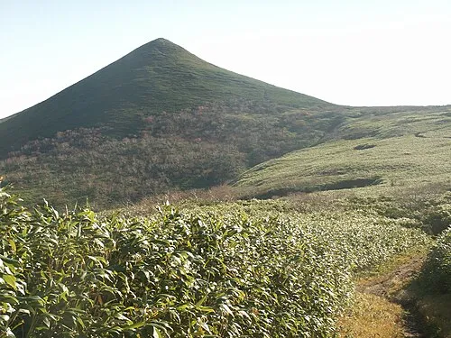 Kitami Sanchi Mountain, Hokkaido21 km E
Sources & licences
Data last updated: · 2 independent sources